Austrått

We brought our bikes on the local boat, and this is a Sunday trip we can really recommend:

Take the boat from Trondheim at noon, cycle to Austråttborgen (with a swim around Bruholmen, as we wrote about in the previous blog post), swim in Jektvika on the way back and visit the Hannah Ryggen exhibition before the boat returns a little before seven in the evening. Definitely, this would have been a slightly better plan in the summer – when the sites are open…

Anyway, the bike trail is really great. And you will always know where you’re going – the tower profile of Austråttborgen is visible on the signposts!
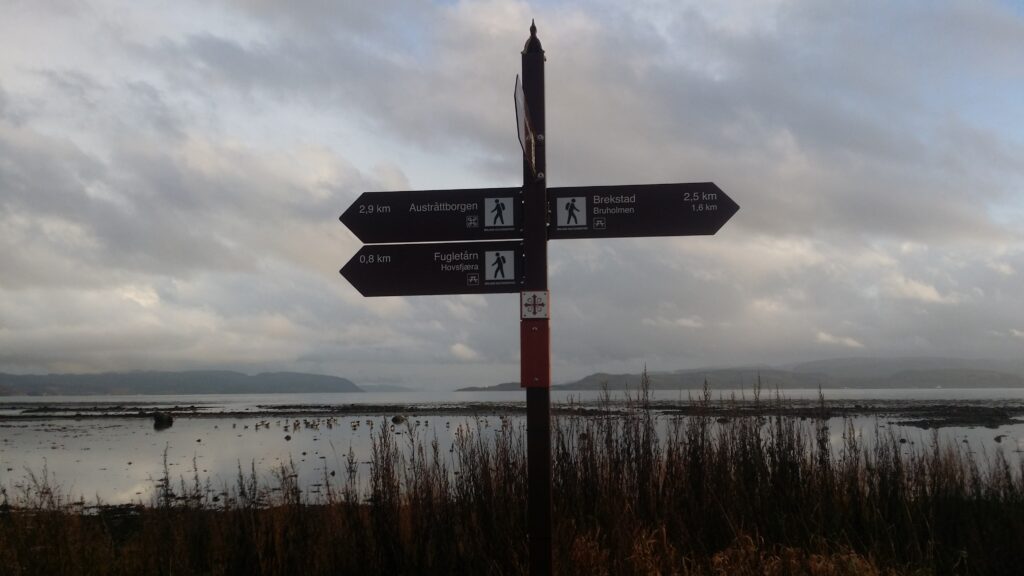
Bicycle path sign with historical significance.

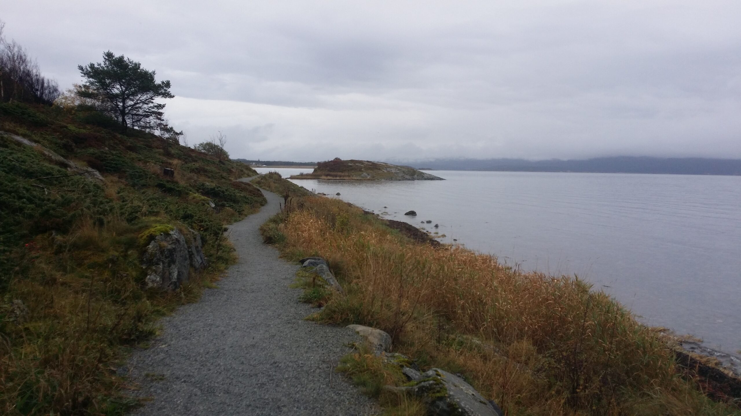
 You ride along the fjord and wetlands, and partly inside a forest with lichen covered trees.
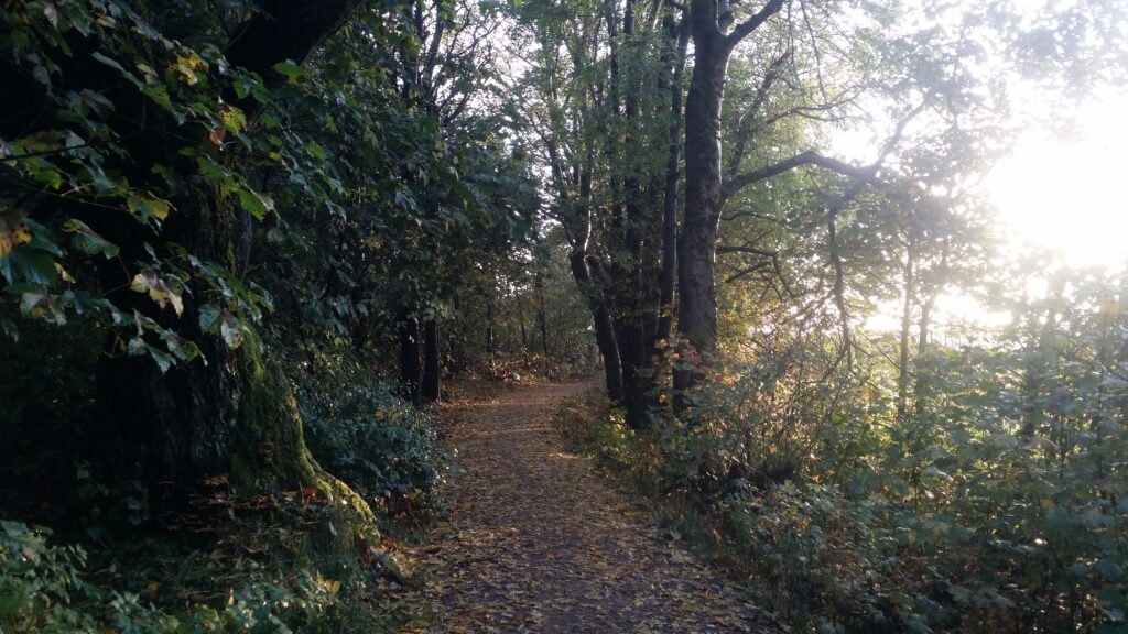
Atmospheric cycle path at Ørlandet.

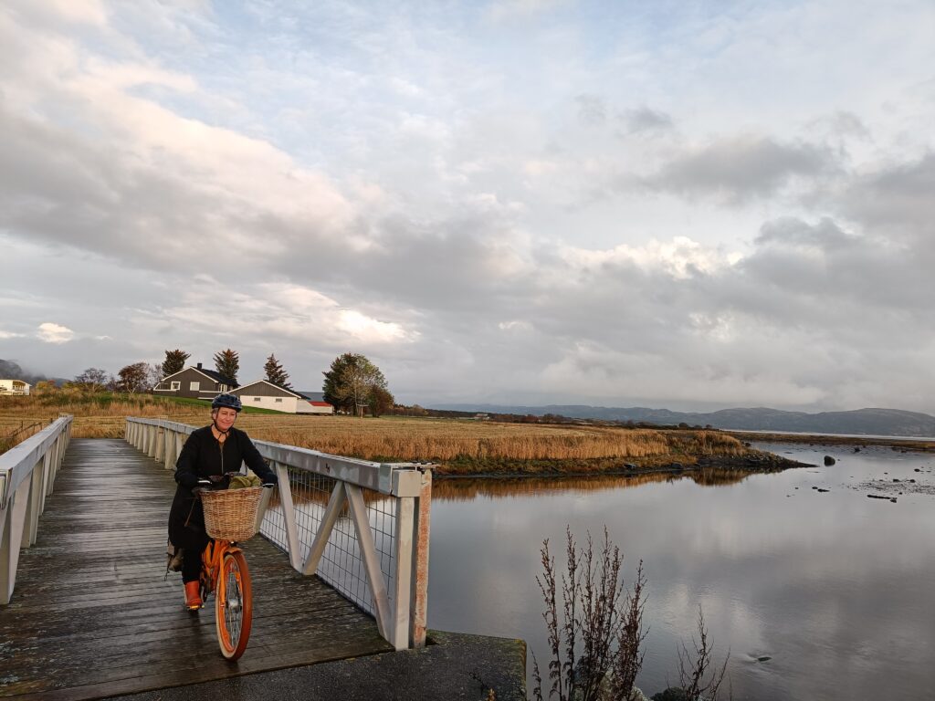
On the way you will pass 3 bridges, and there are benches and birdwatching sheds along the way.
1000 years ago, Finn Arnesson (a liegeman for Olav Haraldsson) owned Austrått. Finn fought side by side with Olav the (soon to be) Saint in the battle of Stiklestad. His brother, Kalv, however, was on the opposite side, in the peasant army, and Kalv even became one of the saint Olav’s executioners. I wonder how interesting the family reunions at Austrått were in ancient times!

The most famous owner of Austrått is probably Ingerd Ottesdatter (Mrs. Inger of Austrått). She was a large landowner and held several regions in the mid-northern part of Norway. Mrs. Inger was in a long-standing feud with the last Archbishop of Nidaros: Olav Engelbrektsson. It was Mrs. Inger’s great-great-grandson Ove Bjelke who built the castle as we see it today. You can see the castle tower from the center of Brekstad, a fairytale castle!
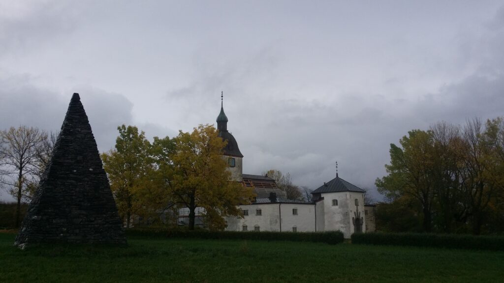
Austrått, from Old Norse “aust” = east and ‘ätt’ = “direction” or perhaps property, was a center of power already in the Viking Age.

Around 1200, a private chapel was built at Austrått. This church had a large, strong tower. The church with tower was part of the castle complex that Ove Bjelke had built between 1654 and 1656. In the main building’s portal you can see the names and family coats of arms of the previous owners carved in soapstone.
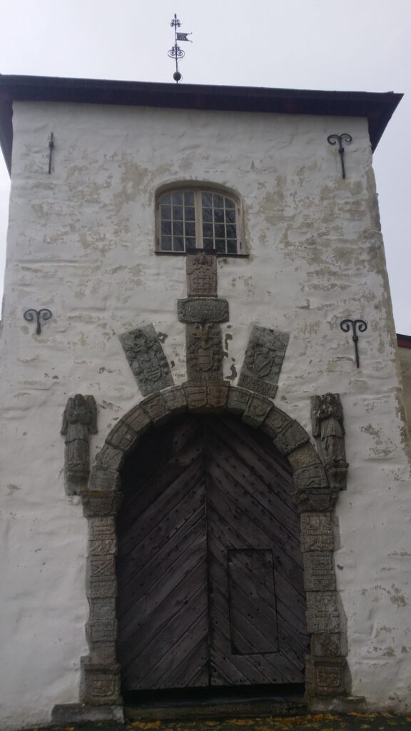
Austråttborgen is magnificent!

When we visited the facility in October 2021, it was closed for the winter, and also under renovation (they were replacing the roof). We therefore do not mention here the arcades inside the courtyard with their caryatids (columns sculpted as female figures – named after the basket-shaped headdresses worn by women from the city of Karyai in Laconia). And definitely not that the caryatids at Austrått depict the story of the wise and the foolish virgins, who respectively had and did not have enough oil for their lamps.

No, instead we let history be history and get ready for swimming. At Austrått it is incredibly right to swim in Jektvika, as we had heard, a pearl of a beach, which Ørland Municipality has upgraded with white shell sand. But where was this beach? We cycled to Austrått harbour and found a bay by the campsite, yes, we did. But it wasn’t that fantastic. Knut asked Google for help:
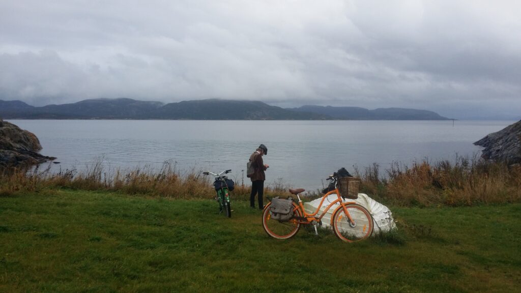
Don’t always settle for the first and best bay. Maybe it’s not the best at all.

Aha! There is a bay, Jektvika, a little further west. And yes – it is a very beautiful place!
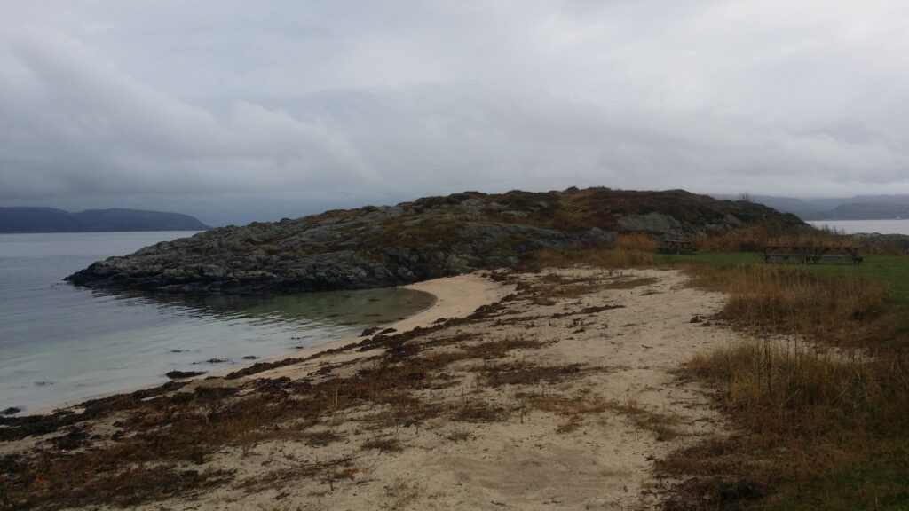
Fine, white sand in Jektvika.

There is a sand volleyball court and benches at the site, too. Add crystal clear water:
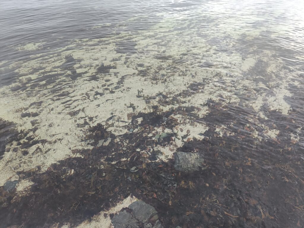
… then there’s not much more to say (other than that a grill would be nice). And in October: Not a hint of a queue on the beach. Actually, completely empty. Strange thing, this wet, gray Sunday.

Another weird thing was the access platform on the east side of the bay. What is that? Balconies for theater performances in the water? Fishing spots? We definitely don’t recommend diving from here, it way too shallow:
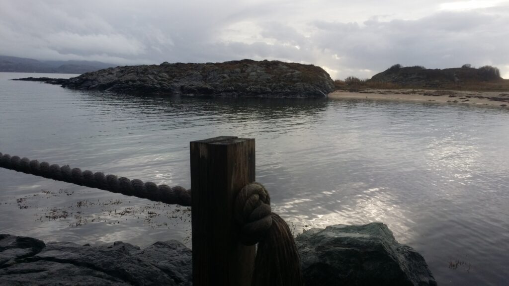
Does anyone know what these devices are for? Not diving boards, apparently. Stage maybe?

But swimming in Jektvika? Yes indeed!

Turning home at dusk. Surely, we made it back to the boat in time.

Brekstad

We tried to escape the rain in Trondheim this Sunday in October. And by going to Ørlandet we did – almost. Ørland municipality is a short boat ride from Trondheim – just north of the mouth of the Trondheimsfjord. Bjugn and Ørland were merged in 2020 and the municipal center is divided between the Bjugn village and the town of Brekstad. The population is just over 10,000 – the fluctuations follow the activity at Ørland airport. From Brekstad you can take a ferry to the south side of the Trondheimsfjord (Agdenes).

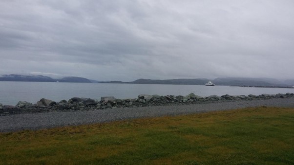
The ferry to Agdenes seen from ‘the Field of Gravel’. Yes, it’s flat on Ørlandet.

The name Ørland comes from Norse ‘yrjar’ = gravel. The municipality consists of a peninsula with large gravel plains and otherwise a slightly hilly landscape with many islands, islets and skerries. Most of the Ørlandet peninsula is lowland, and will struggle hard if/when the sea rises. It is windy here! So much so that the ‘Ørlanders‘ are often referred to as leaning forward – it takes a lot to stand up against the wind.

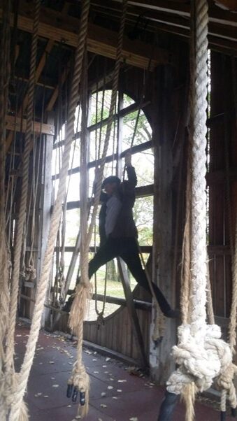
On our way through the city center, we came across ‘Meieriparken‘ = the dairy playground. There is a lot of funny stuff in the old dairy, including this challenge: How to get through the barn without stepping on the floor?

This is fun for both children and adults!

Knut couldn’t resist and had to try. Here he is swinging, elegant as always. Idun had a sore back at the time, and didn’t join the game.

Splendid bike trail in Ørlandet.

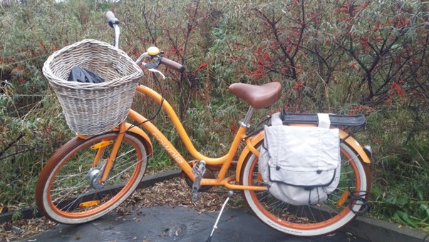
Following a tip from Idun’s colleague Anita, we brought bicycles on the express boat. From Brekstad city center, there is a great bike path northeast towards Austrått. Try it!

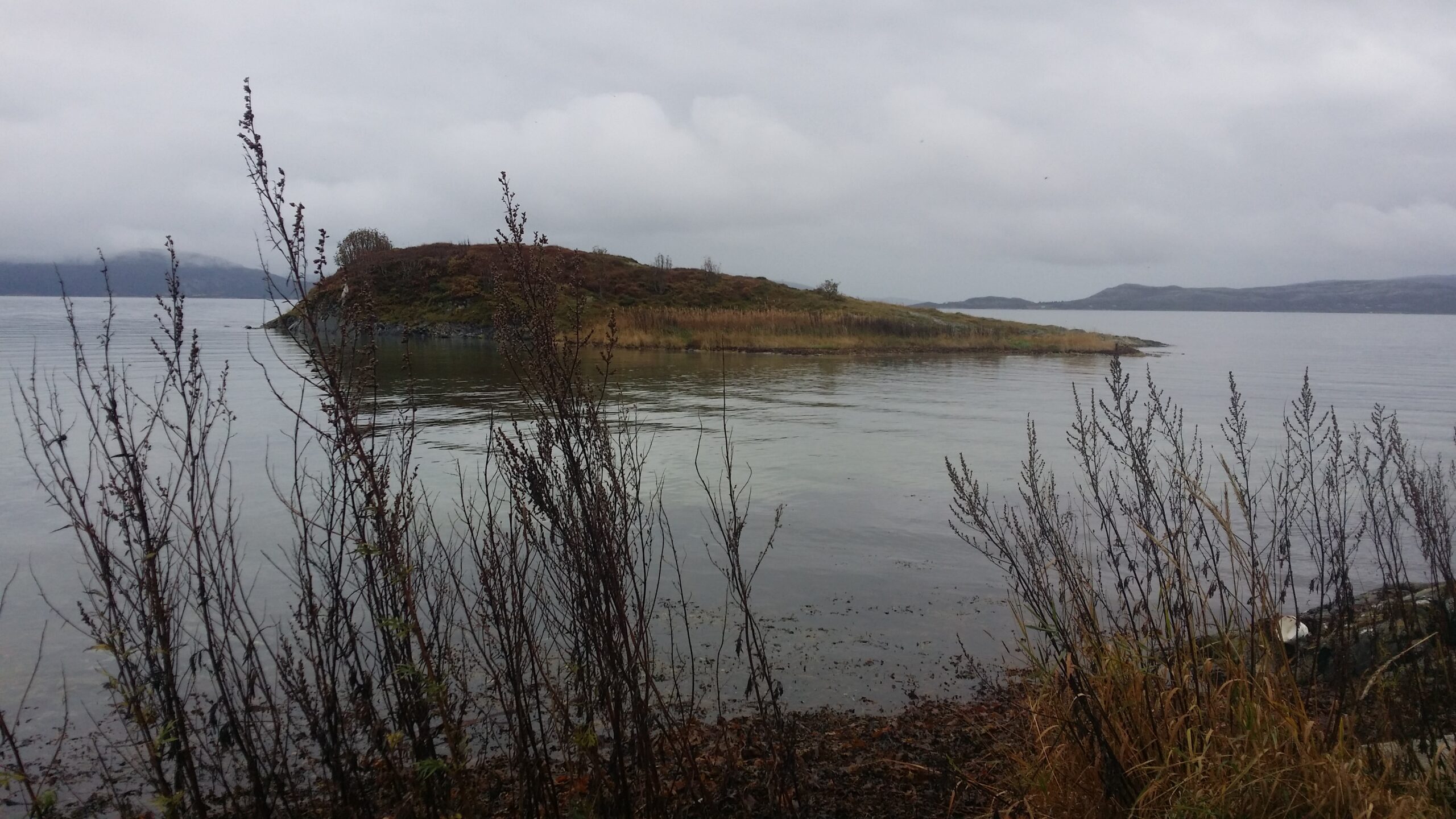
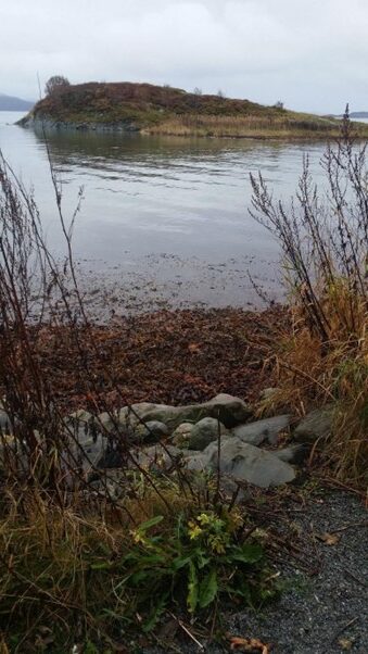
One kilometer from Brekstad harbor lies Bruholmen (the Bridge islet). It floats freely at high tide, but is landlocked at low tide (is it called Bruholmen because there is a “bridge” out there at low tide?):

Bruholmen at high tide.

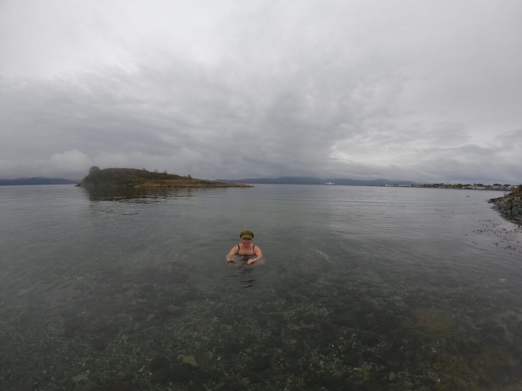
We arrived at Bruholmen at high tide and decided to swim around it. The seaweed soup was kind of awful:

Seaweed soup is not among our favorites.

But the water further out was crystal clear (12 degrees). Absolutely beautiful! We could even see the rocks on the bottom.

Clear as crystal.

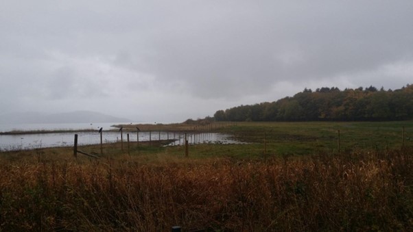
Beyond Bruholmen there are wetlands all the way, a bird paradise! The area is a Ramsar site. This means that Norway has signed an agreement in the city of Ramsar (in Iran) that this wetland is protected.

We saw hundreds of geese ready to depart south. And a flock of crows: as the text does not say in the norwegian children crow song: ‘There were 10 crows sitting on the fence crowing’.

Crows crowing on the fence.

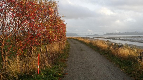
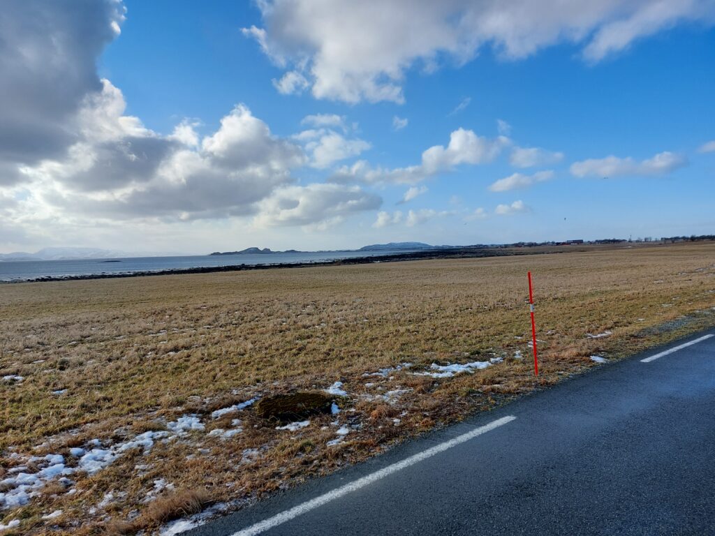
We were in doubt when we saw the use of road sticks by the trail. What is the point here (normally they are meant to tell the snow plowers at winter time where the road is)? Do they tell us that the trail does not go through the bushes? If there is a concern about ending up in the wetland, perhaps the sticks should have been placed on the other side of the trail? Does anyone know? The band of black dots in the photo below are geese.

No bicycling through the bushes!

We continued later to Austrått of course and had another swim, but we’ll save that for the next blog post.

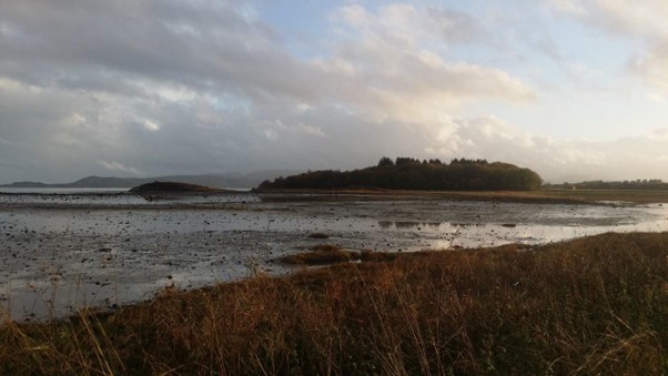
On the way back we took a picture of Bruholmen at low tide:

Perfect Ramsar land!

On the way back we took the opportunity to pick sea buckthorn close to the trail. Sea buckthorn is a pioneer plant, which thrives in sand by rivers and coasts. The berries are orange, so beautiful colored that Idun just had to swing her bike in front of them.

Orange is the best color!

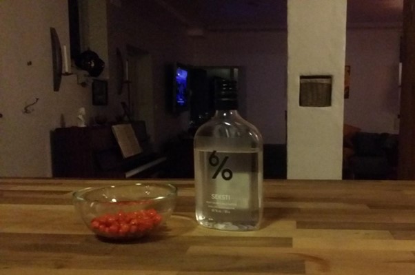
In addition to the splendid color, the berries are full of antioxidants and they taste good. So now we have sea buckthorn liqueur aging for Christmas. Although not in very large quantities (50 g of berries to be exact – it was more important to reach the boat back, they are not so easy to pick).

Christmas liqueur on the go.

A bathing bay paradise

From the island of Storfosna (previous post) you can cycle further out to the ocean, to Kråkvåg (Crow Bay).

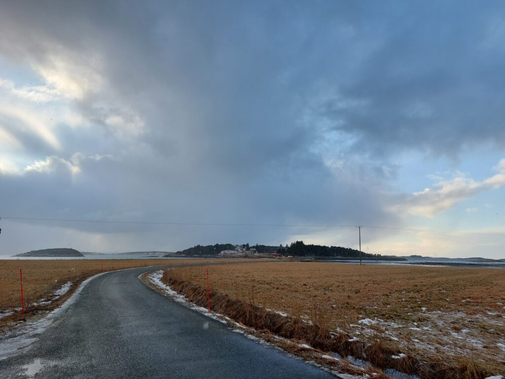
Holmen Island and Kråkvåg in the background.

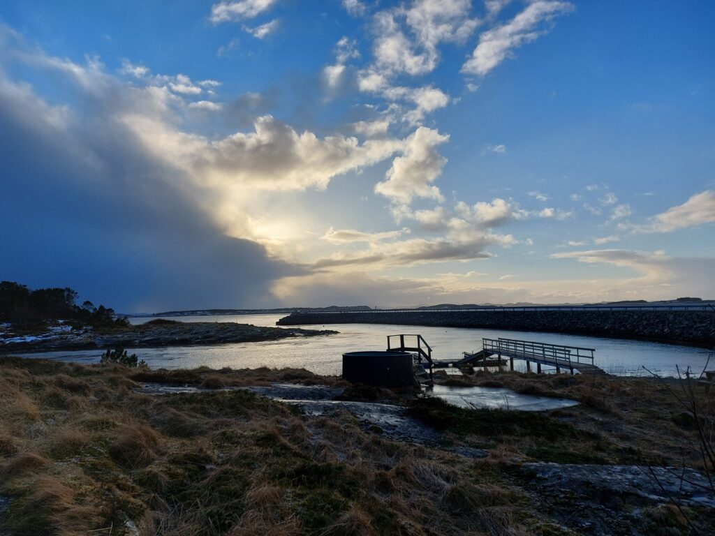
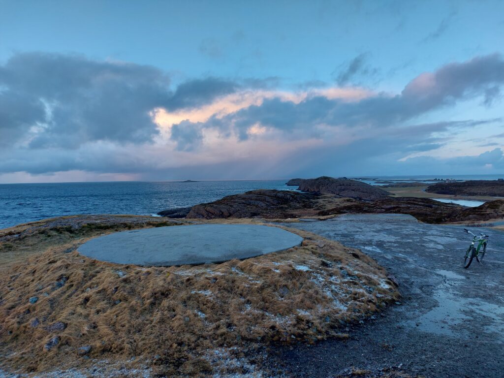
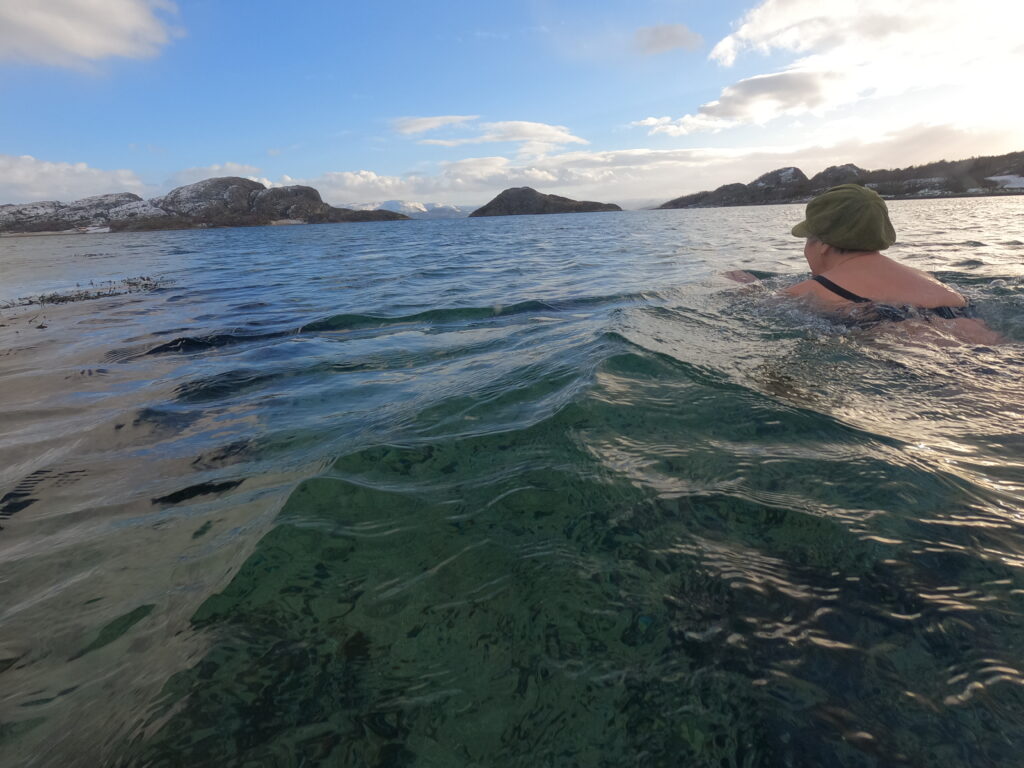
On the way, the small island of Holmen is passed, and here they have set up a small bath tub. Unfortunately not in use in February 2022.

Bath tub in changing weather. Kråkvåg in the background.

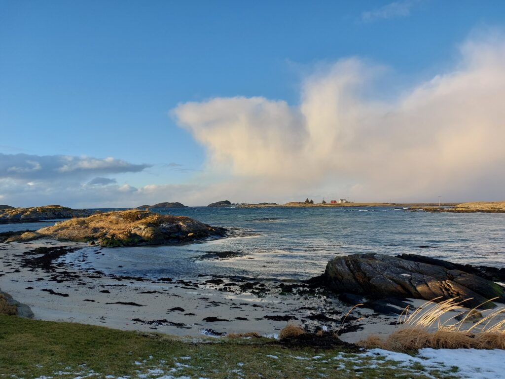
Kråkvåg is both an island and an archipelago consisting of four islands. The name comes from the crows, which seek refuge here at night. The population of humans is around 50. This is an incredibly beautiful place!

Rocks and beaches at Kråkvåg island. Storslåttøya (big harvest island) in the back.

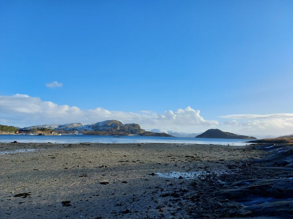
At Kråkvåg there are dozens of small and large, beautiful white beaches. There are so many that you will always be able to find a sheltered beach. Which comes in rather handy, there is a lot of wind here!

Not very far from beach to beach at Kråkvåg.

While cycling back and forth, unable to choose the best beach for bathing, we found Skjærgårdsstranda (Archipelago beach), and it basically chose itself.

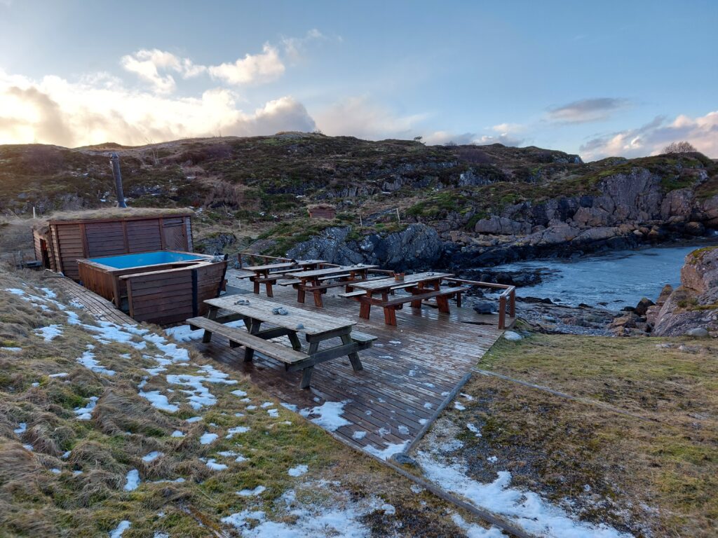
At Skjærgårdsstranda, it’s always the right time for a bath.

The crowd of people was reasonable when we visited Skjærgårdsstranda at the end of February. But in the summer – what a paradise: benches, barbecue, bathtub, bathing bay and sauna! Here we had our fresh winter bath, a little exciting too. There were so big waves this day that a real drag was created in the small bay. Lovely!

At the end of the road you will find Kråkvåg fort, built in the 1980s.

Where the cannon used to be at Kråkvåg.

After investing a billion kroner in building the fort, it was closed down before it came into use.

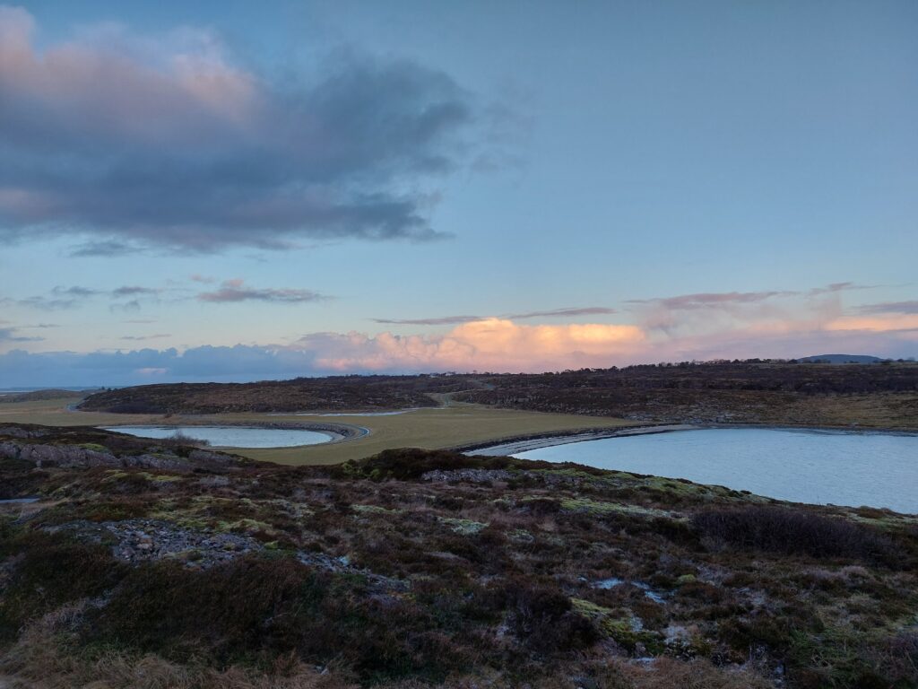
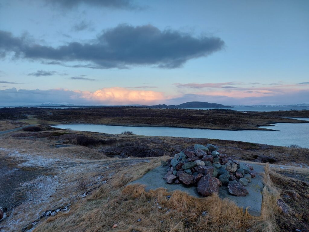
Kråkvåg with the Island Storfosna in the background.

Of course it wasn’t a waste of money. At least the ‘Kråkvåg people’ got a bridge!

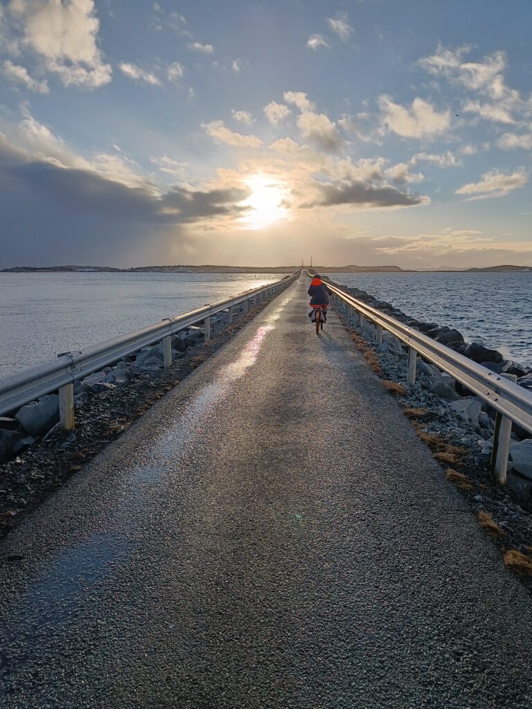
Cyclist at sunset

This day we cycled almost forty kilometers. It was a hard exercise, because none of us had cycled much during the last 3 months. However, this was solved in the very best way: Accommodation and spa at Hovde farm in Brekstad.

It doesn’t get better than that!

Island hopping and bathing

After some time mostly spent indoors because of bad weather and corona, it was time for a new bathing adventure. The bicycle trip to Ørlandet was a success last time, so we wanted to follow up with the same starting point. What could go wrong? Well, a flat tire before we got to the boat quickly answered that question. Luckily, this time we hadn’t cut the time too sharp, so we still came in time for the boat.

The guy who reached the boat with a flat tire.

It is okay to bring bicycles on the boat, but be warned: Bicycle trailers are specifically not allowed! After arrival Knut got the bike fixed in a bike shop (the repair kit existed only on the packing list, not in the backpack). The repair man wasn’t in, but came after a few minutes anyway, when the problem was explained. Thank you!

From Brekstad there are 10 km to the ferry port of Garten. A nice and flat bicycle trip, but it is in it’s place to point out that Ørlandet is always windy! This time mostly from the side, so not too discouraging for bikers.

The map of Ørlandet shows it laying at the opening of the Trondheimfjord, with a form like the Italian boot, only opposite. The tip of the boot kicks the little island Garten away, but they are kept together by a bridge.

Middle left is Garten, to the right of it Storfosna.

From Garten there is an hourly ferry to the island Storfosna. Storfosna is 11 km2 and has approximately 100 inhabitants. They are well used to bicycle tourists on the ferry, but the ferry guy commented that we were the first in 2022. And oddly enough also the first bathing tourists this year…

The name Fosen comes from the Norse word ‘fólgsn’ = hiding place. This reflects the well protected bay between Storfosna and the peninsula Fosenheia, which later gave name to the whole peninsula Fosenhalvøya (The Fosen peninsula).

The bay at Storfosna gave good protection against weather and enemies.

Further south, there is a similar, smaller hiding place: Lille-Fosen. Since 1742 it has been called Kristiansund. The stone age period Fosnakulturen has its name from Lille-Fosen, but is not a topic in today’s article.

Storfosen manor is well known from the 12th century. It is one of the largest in Trøndelag and formerly belonged to the crown. The farm was under Austrått for a long time, and “Lady Inger” lived here from 1524, as a widow.

Storfosna manor has an area of 4440 decare.

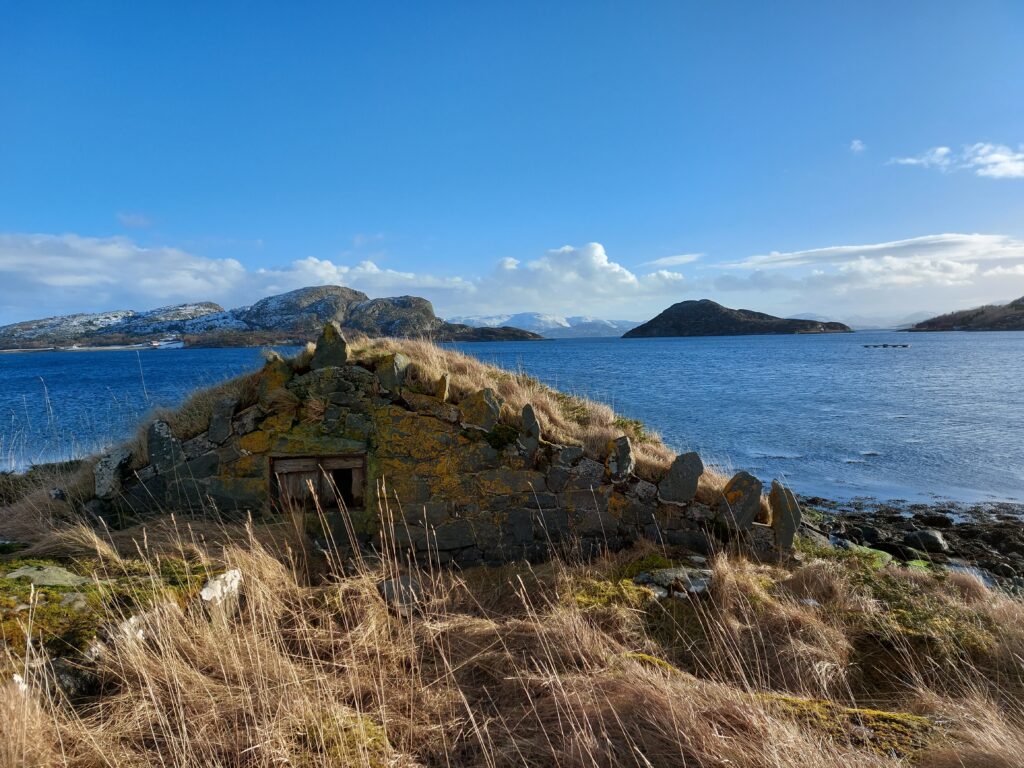
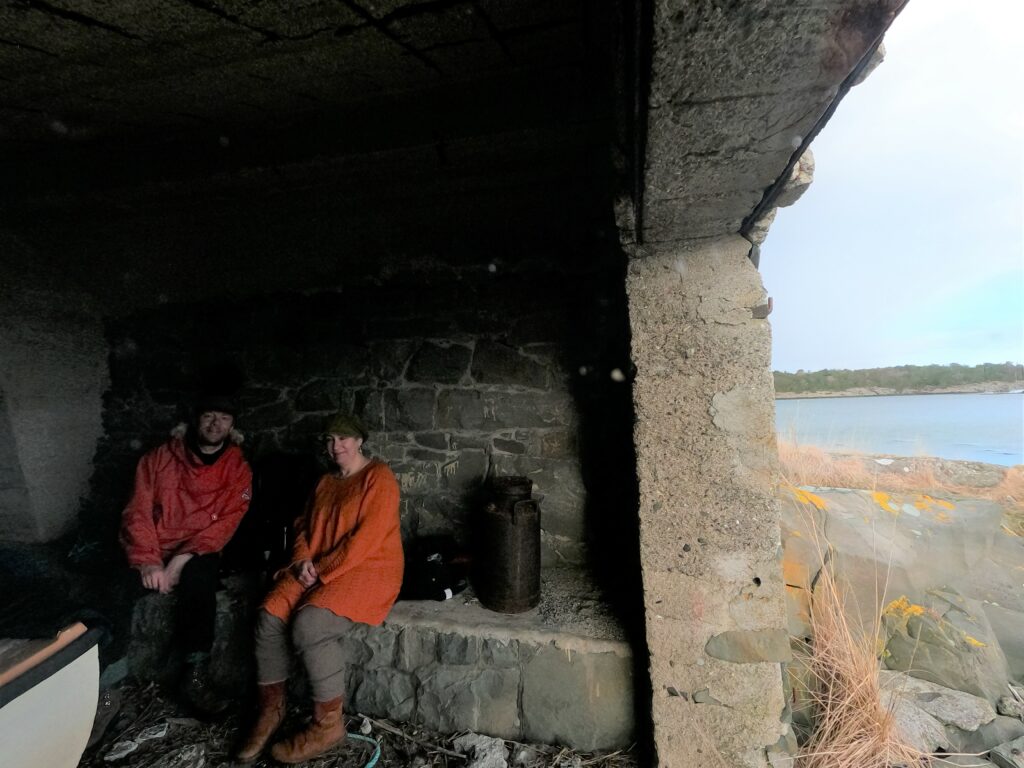
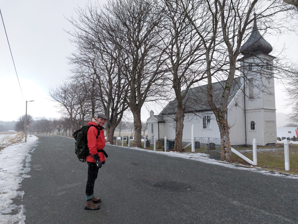
Storfosna has plenty of lovely beaches, but in the bay they are mostly very shallow. Idun still wanted a bath in the proper “hiding space”, so we walked down to the water from the chuch. Here we found beautiful, white sand and crystal clear water, but the tide was low and the water too shallow for a swim. So we walked on onto a small peninsula and found a boat house made of stone and concrete, a perfect bath house of the day! It reminded us of the halfway buried turf houses on Iceland.

Well camuflaged boat house on Storfosna.

The boat house shielded us from the wind and was a comfortable place to change for a swim with a view!

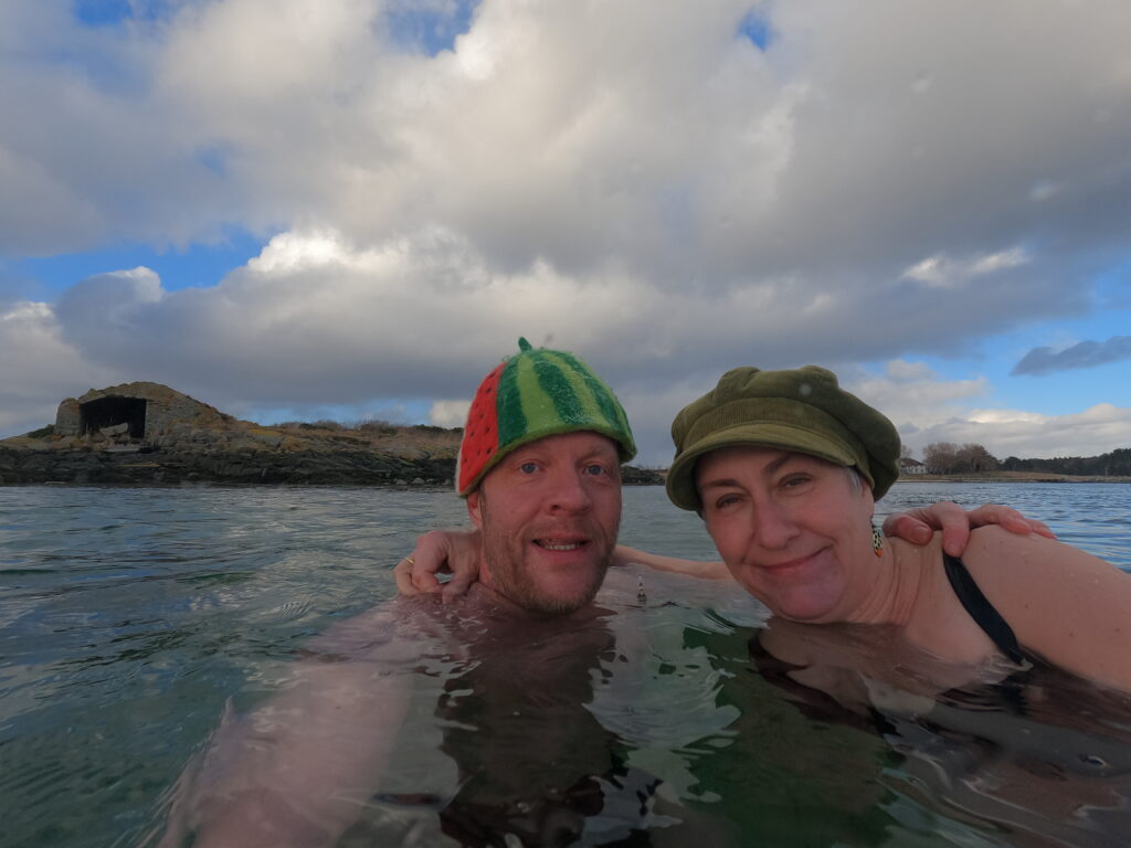
Swim with a view.

A selfie is always required, this time with the manor behind us and the boat house to the left of the picture.

Local spa facilities!

And after the bath the mandatory hot chocolate and some Eddie.

Changing hiding place in the big hiding place.

A great bath! The weather changes quickly in Trøndelag, but Ørlandet this day really outdid itself, the weather never was stable for more than 10 minutes! Back on the bikes after the bath, the hail came horizontally right in our faces.

Knut looks forward to bicycling in the hailstorm.

The bike ride offered lots of bird life: Swans, seagulls, cormorants, eagles… In Ørlandet there are several bird protectorats, so be aware of limited access in the hatching period!

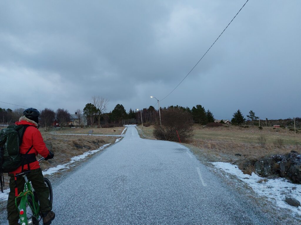
Deer on the road. More precisely right behind the road. And one behind the road sign.

The big population of deer on Storfosna gave us a nice surprise at sunset. Bicycling, island hopping and bathing on Ørlandet is hereby recommended!