Plassy

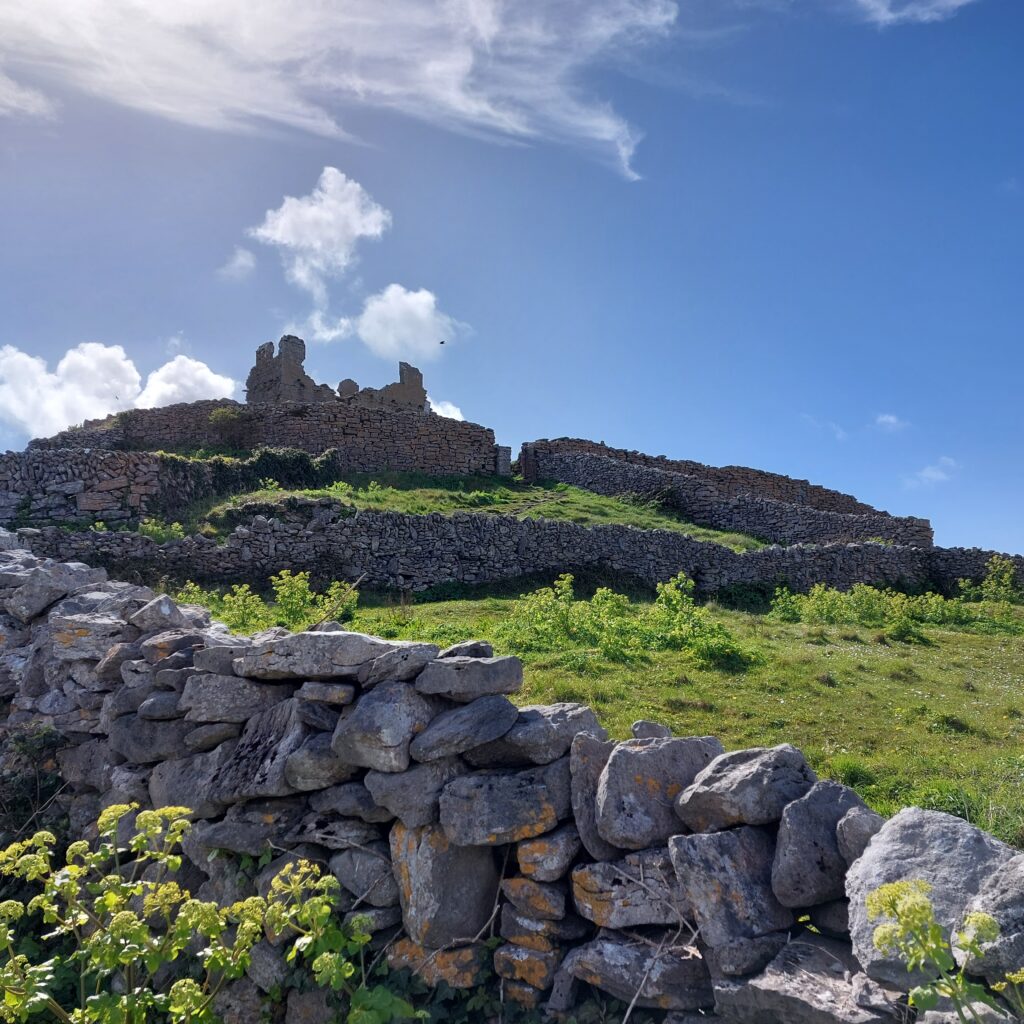
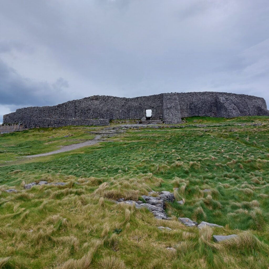
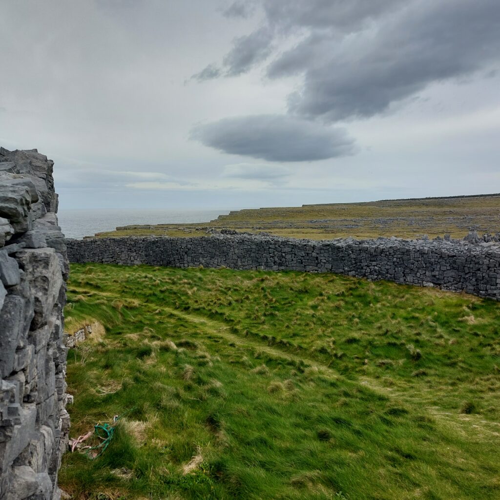
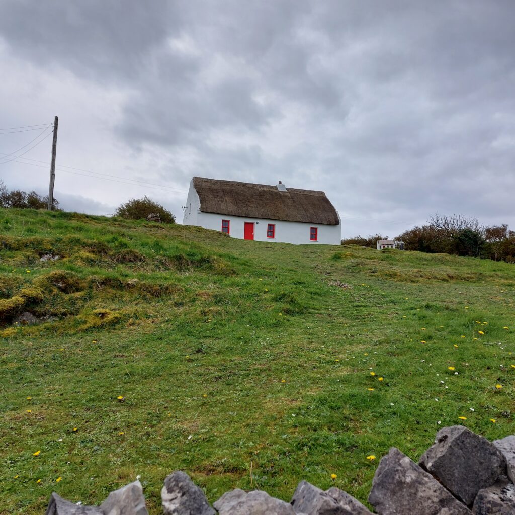
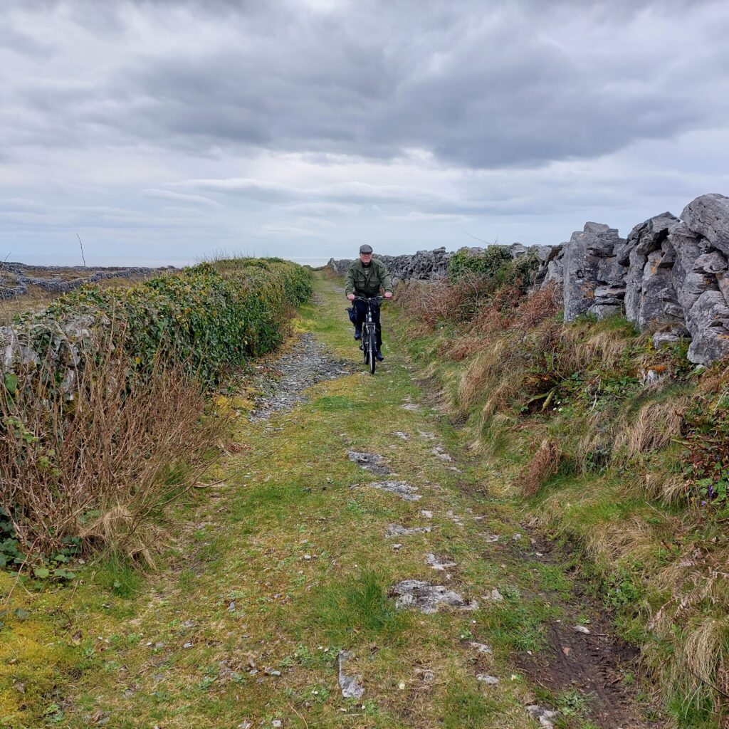
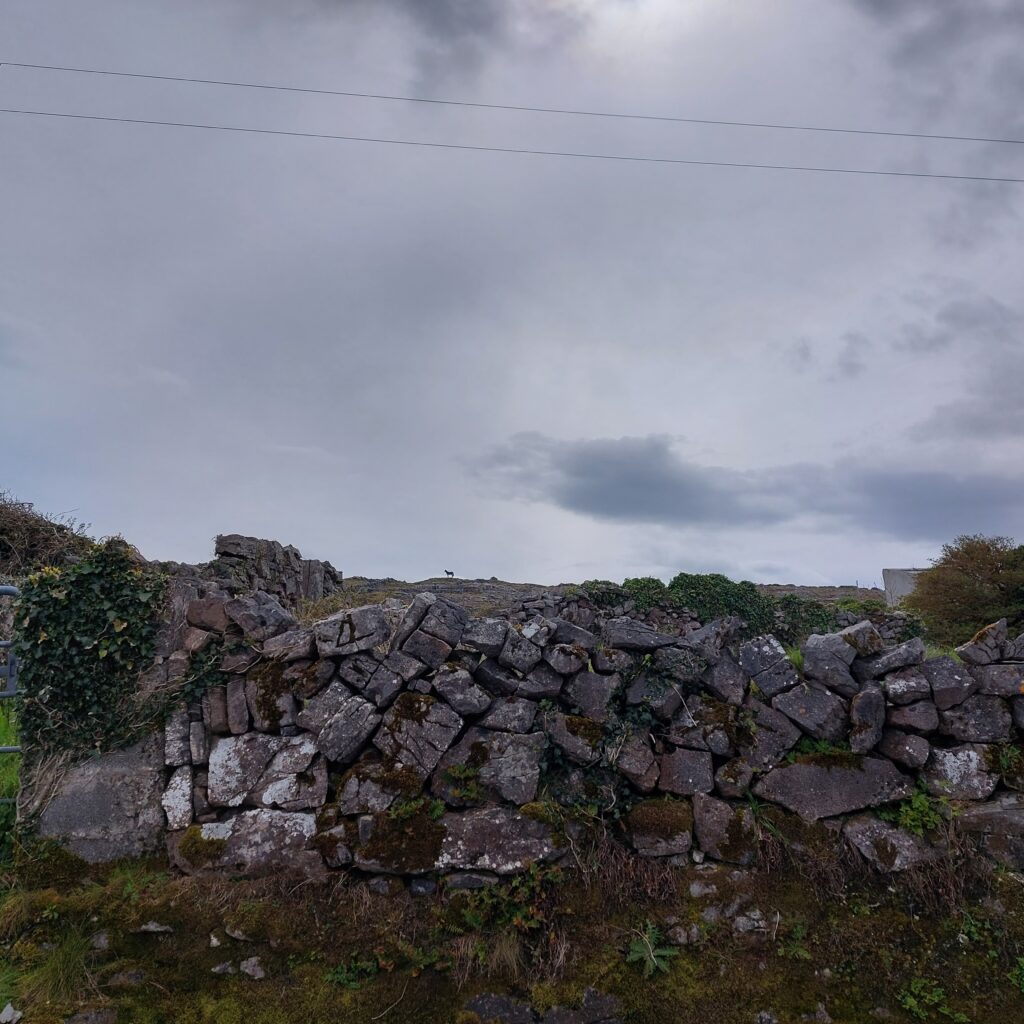
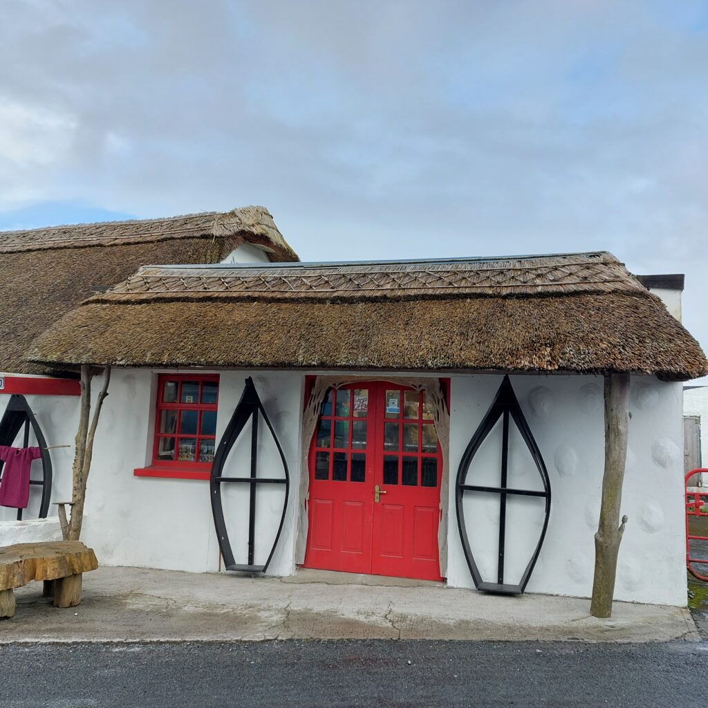
On an island with almost no soil at all, one might wonder how they found wood in the past, for all possible needs. Some use simply had to be stopped – for example, firewood could be replaced by dried livestock dung. Other needs are more difficult to quit, be it trusses for roof structures, or wood for boat building. One solution could be trading with the ‘mainland‘. But something that always helped was wreck looting, stranded boats were not left untouched – everything that could be used was salvaged. And on the Aran Islands they also built boats almost without the use of wood.

Canvas boat, Inisheer.

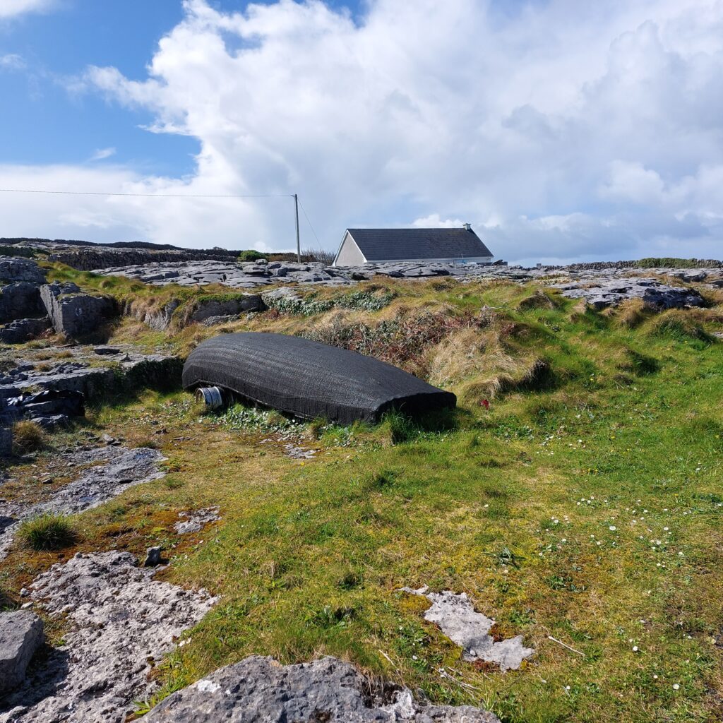
The Aran Currach is a light type of boat, built up of moldings covered with canvas and tarred. It is very well adapted to heavy sea and can withstand quite bad weather. It is said that the fishermen at the Aran Islands did not learn to swim back in the days. The idea was that if the sea was so rough that the currach went down, they wouldn’t survive anyway. Swimming skills would only prolong the agony, which would end in a certain death anyway.

Skeleton of Currach boats, Inishmore.

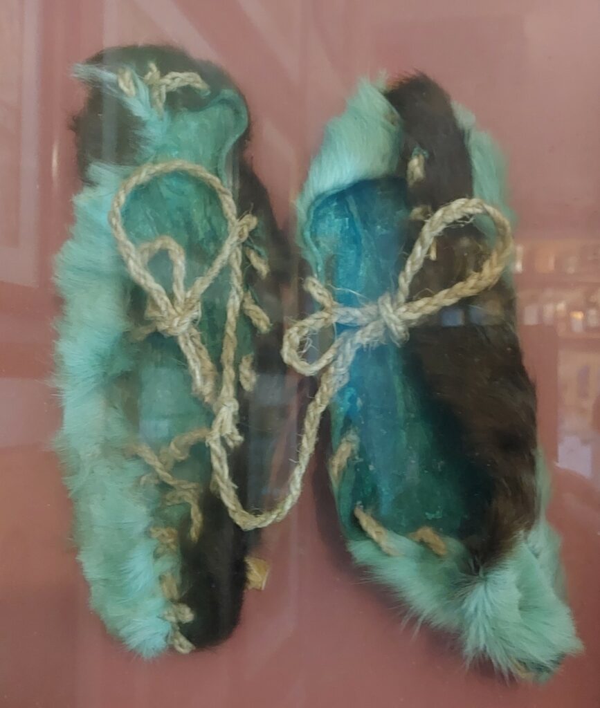
In ancient times, the currachs were covered with cattle hides, and it is considered likely that the first islanders came to Ireland and the Aran Islands in such boats (in the Stone Age). The canvas boats are vulnerable to punctures, and normal shoes cannot be used. Instead, traditional Irish leather moccasins with the hairs out, the so-called pampooties, are worn.

Slightly discolored pampooties, on display at Tigh Ned’s Pub, Inisheer.

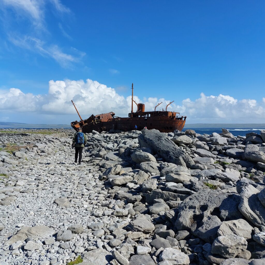
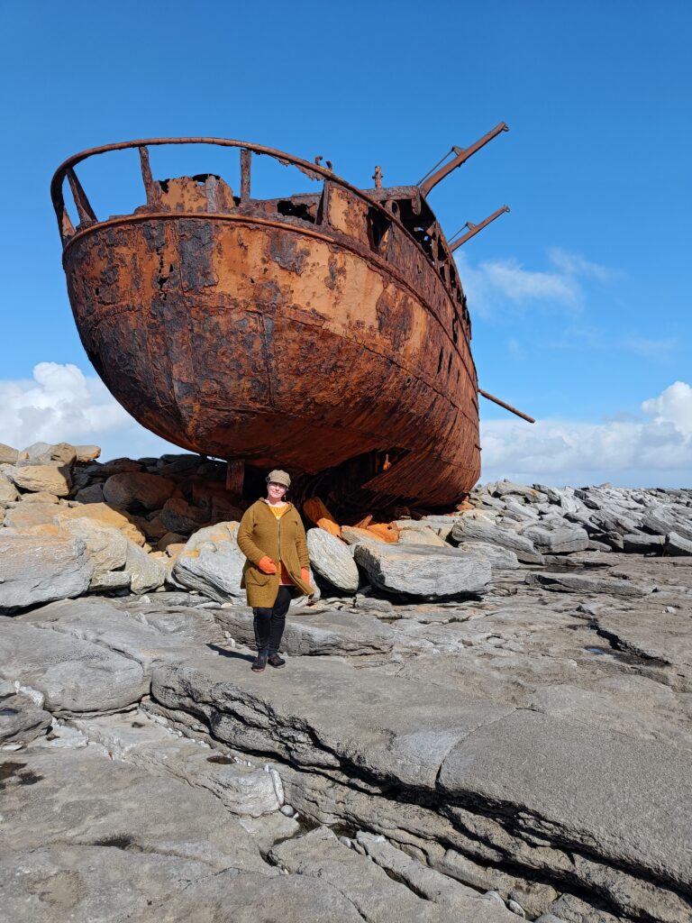
A somewhat more solid boat, Plassy, shipwrecked on a reef outside Inisheer in 1960. HMS Juliet was commissioned by the British Navy at the beginning of WWII, and it served, among other assignments, during the Allied landings in French North Africa. After the war the navy no longer had use for the ship and it was sold as a merchant ship in 1947. In 1951 it was bought by the Limerick Steamship Company, and renamed MV Plassy, after the bank Plassey by the river Shannon, upstream Limerick city. When she sank, Plassy was filled with general cargo consisting of, among other things, whiskey, woolen yarn and shoes.

Plassy, Inisheer.

It was an hazarduous rescue operation by night, March 8th, 1960. The crew of 11 couldn’t get ashore on their own, because the lifeboat had disappeared in the storm. Conditions at Inisheer were even simpler then than now; no cars, electricity, roads – or even toilets (!), as was stated at the 50th anniversary of the incident. The 15 rescuers – also known as ‘The Rocket Men‘ were already struggling to get the equipment cart out (which got stuck 4 times on the way to the sea), but the weather was getting worse and there was almost no visibility due to swirling sand. Once by the shore, they needed 3 attempts to get a line shot over to the ship. Most of the men wore pampooties on their feet, but as they became too slippery on the rocks, some of the rocket men ended up working in their woolen socks.

Pictures from the rescue operation. From the Tigh Ned’s Pub, Inisheer.

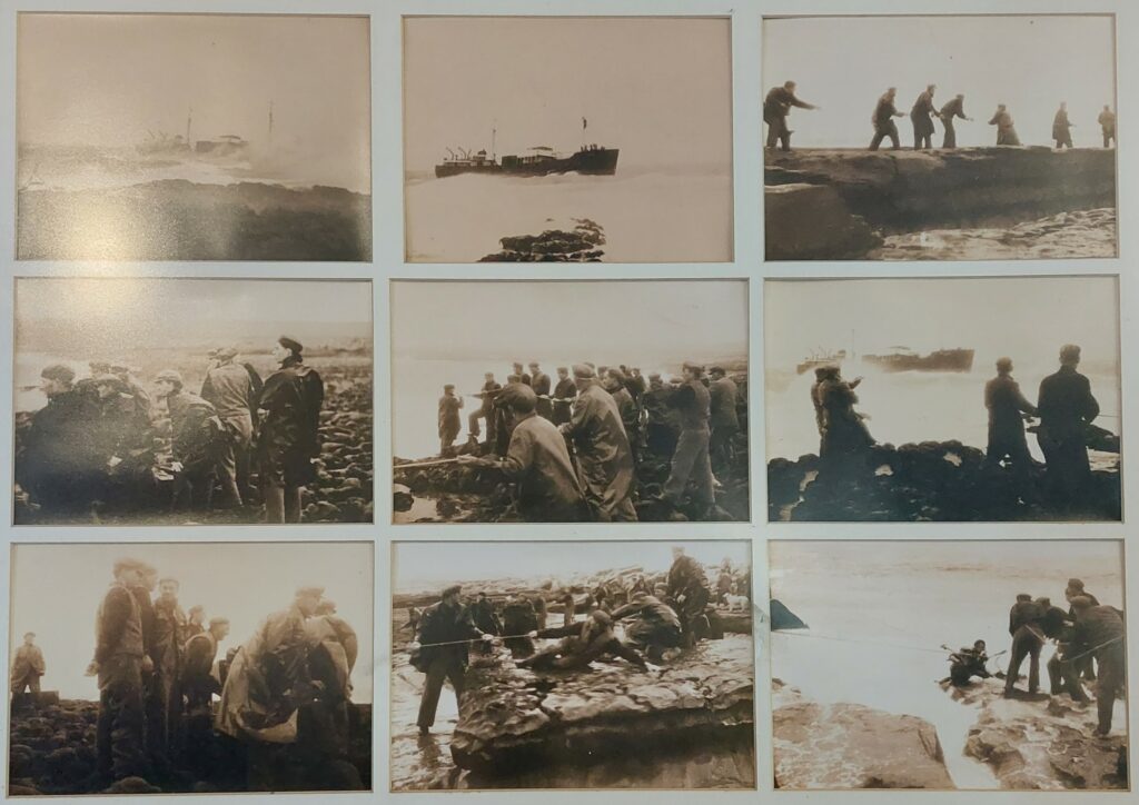
The rescue itself took 4 ½ hours, using a breecher buoy. This is a device where short canvas trousers are attached to a lifebuoy, which is pulled forward using a rope and a pulley (as a zip-line). This way you can save one person at a time, and the operation at Plassy was very successful. The whole crew were rescued, albeit quite chilled, after being pulled ashore through the cold water. This happened during lent, but the islanders immediately broke it by giving the shipwrecked whiskey to warm themselves. The crew had been paid the day before and the money was in their pockets, so they went straight to the pub to dry the money in front of the fire. That was how the money could be spent straight away.

More or less safe on shore

Two weeks passed until the weather became suitable for the ship to be embarked again. The islanders boarded at low tide, and salvaged both wool, shoes and whiskey. They were also able to pick up doors and other wood, which fit well into ongoing construction projects. The priest insisted from the pulpit that robbing the wreck should not happen, but that didn’t help at all, instead that’s when the looting really picked up speed. Bottle after bottle of Scottish ‘Black & White’ was hidden in the potato fields (they wanted to avoid problems with customs), and shoes exchange took place for months afterwards. It took time to get the right and left shoes interchanged so that a suitable pair was obtained. As a well-deserved ‘punishment’, the customs officer had the flu with him when he finally showed up – which put all the islanders to bed.

Knut in search for the right place to have a bath.

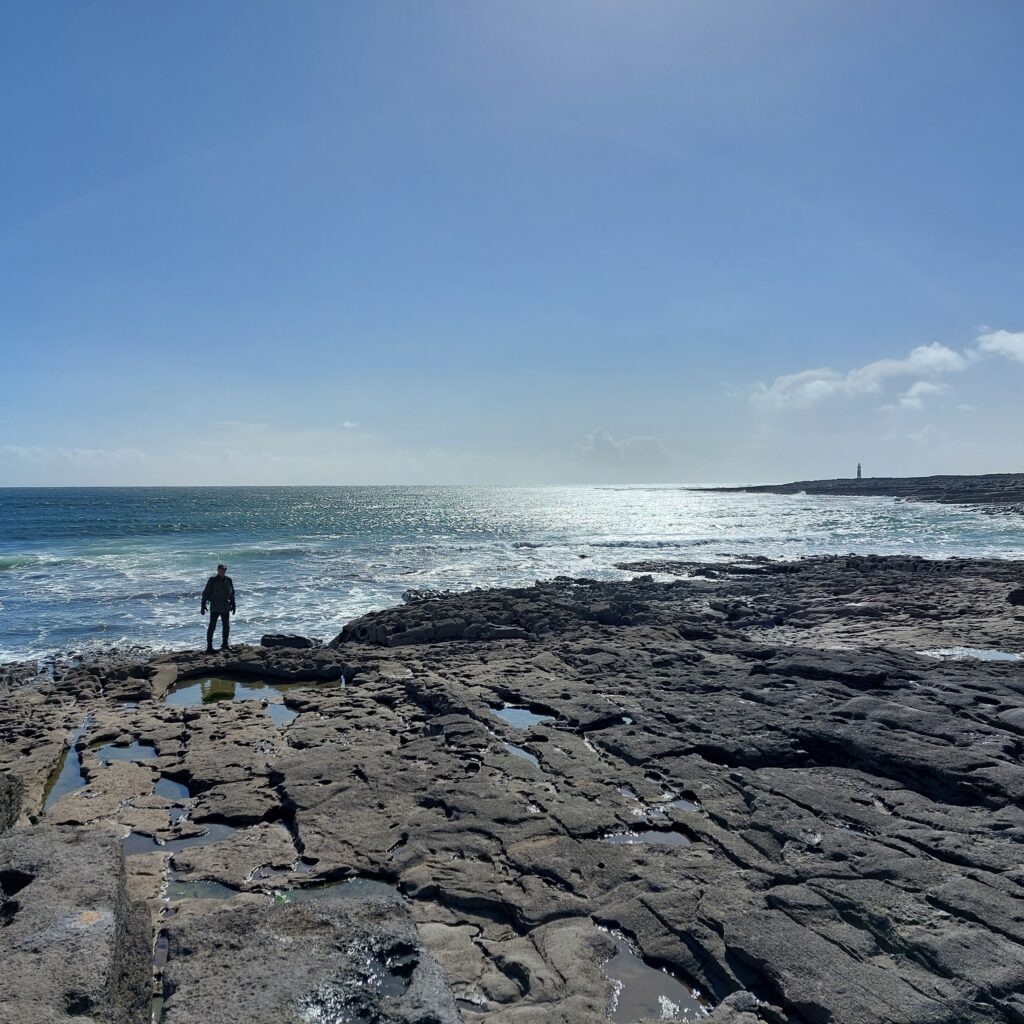
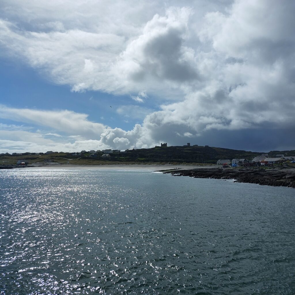
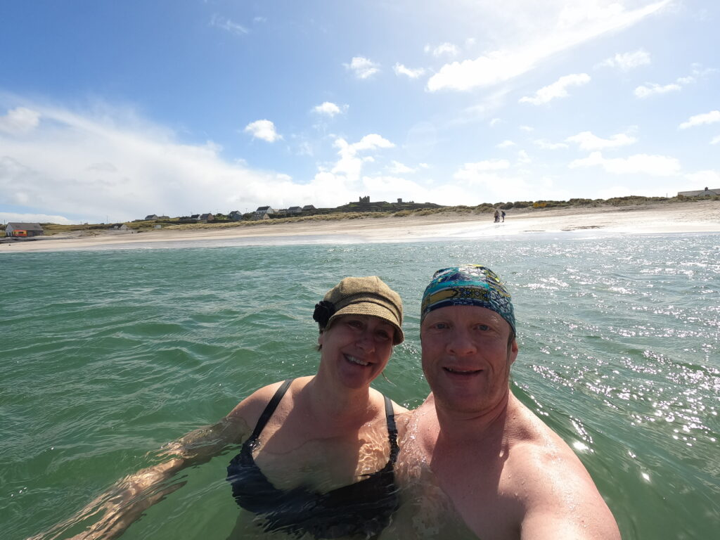
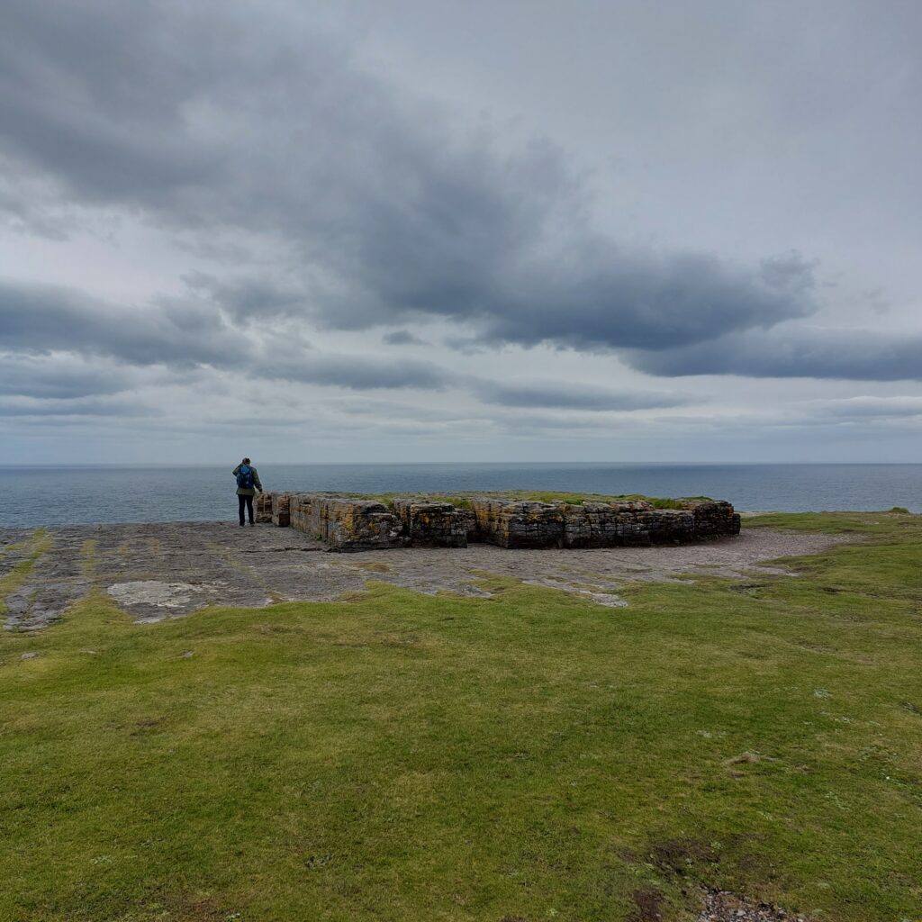
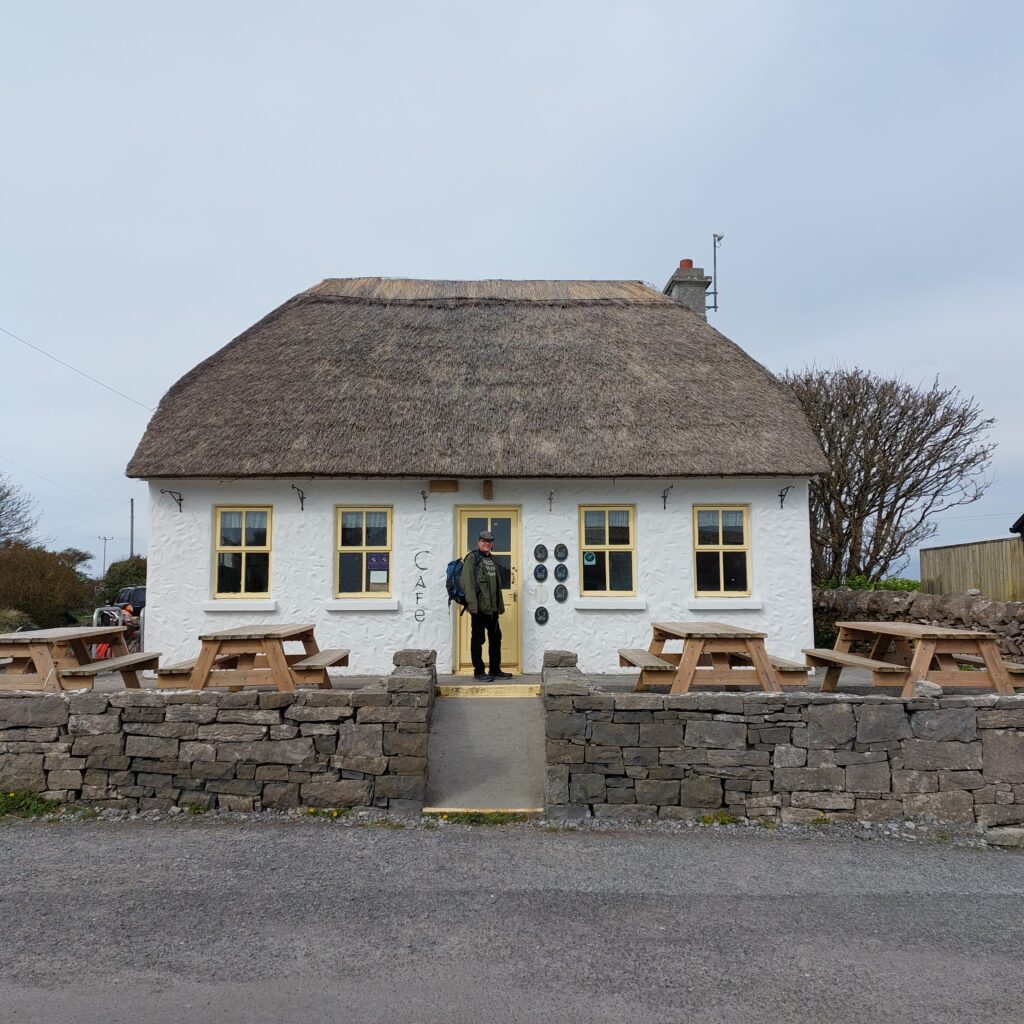
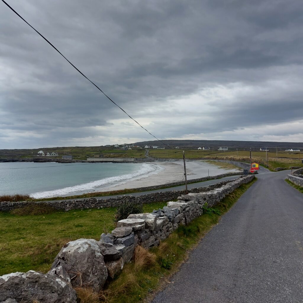
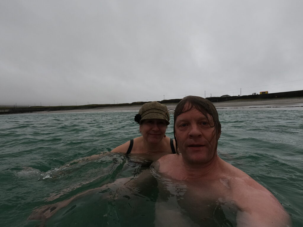
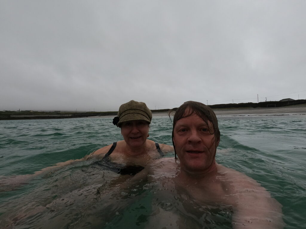
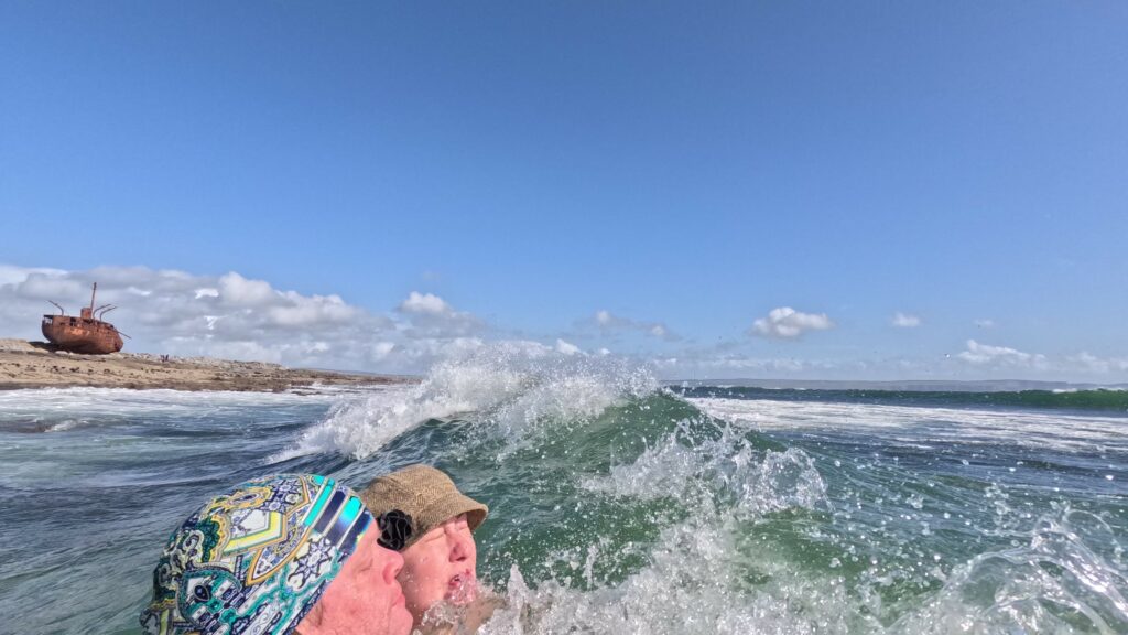
We wanted to swim at Plassy’s! The wreck is now situated on Inisheer itself, this happened in a later storm. Here it is relatively shallow with a continuous train of incoming swells. There were some discussions about the bathing place. Knut wanted to swim as close to the wreck as possible, but Idun was skeptical. After all, we had been warned against swimming on this side of the island, because of the tides. But a short distance away there was a small beach, and there it was possible to have a bath without being knocked unconscious against stones and rocks.

A wreck bath was just right, even if it got a little bloody.

Plassy has become a tourist attraction in itself, and it has been decided to leave the wreck where it is. As part of the opening sequence of the TV series ‘Father Ted’, she has become part of the Irish folk soul. And fine, she is, we think. Rust can be very beautiful!

Sources:
– The article ‘The Plassey Shipwreck‘, Ireland’s Own, on the occasion of the 50th anniversary of the sinking.
– Wikipedia

Inisheer

Inisheer has an airport, but we recommend arriving by boat either from Galway via Inishmore, or from Doolin, County Clare. In the summer season, up to 1,000 day-trippers come ashore here every morning at 11 am.

Inisheer. An Trà (The Beach) in backlight.

The name Inisheer means ‘The Easternmost Island’, it is also the smallest of the three Aran Islands. Smallest and nicest, we think! The island is approximately circular, with a circumference of 12 km. This is a wonderful place to be! The winds are strong and the weather is steadily unstable, but the village by the harbour is cosy, warm and friendly with myriads of stone fences, green grass and ancient monuments.

Horse and stones, Inisheer.

The stone fences date partly from the Bronze Age, when the first soil was made from seaweed, kelp and sand. Further subdivision into very small fields came with population growth and potato cultivation some 3000 years later. Nevertheless, it is the remains of ancient graves, forts and churches that make the biggest impression on this island.

Cnoc Raithní. The lowest layers are dated 2500-1500 BC. The light mast is of a slightly more recent date.

The Bronze Age tomb of Cnoc Raithní was well hidden and forgotten until the sand suddenly blew away during a storm in 1885. Excavations revealed urns with cremated bones and a bronze awl. The upper parts were built by early Christian islanders around 500-800 AD.

Cultural landscape, Inisheer. In the background to the right, Inishmaan (the middle Aran Island) can be seen.

The highest point on Inishmore is dominated by O’Brien’s Castle (Irish: Caisleán Uí Bhriain). Today’s ruins date from the early 15th century, erected by Clann Teiges, from a branch of the O’Brien family. The castle was taken in 1582 by ‘the O’Flahertys of Connemara‘ and again in 1652 by Oliver Cromwell. O’Brien’s Castle has remained in ruins ever since. But it is beautiful, in all its decline!

Caisleán Uí Bhriain.

Today, there are 260 people living at Inisheer, divided into only 6 surnames. As a result, first names and nicknames are often descriptive, so here you should stay average, not to be ‘doomed by the name‘!

Time moves slowly on Inisheer. Reliable electricity became a fact as late as 1997 (!), and ATMs do not exist (they take credit cards, so there is no crisis without cash). Despite the small population, there are actually several pubs at Inisheer. And Knut was very excited indeed about this one, equipped as it is with a flag quiz in the ceiling:

Flaherty’s pub, Inisheer. A flag quiz is always just right!

The first thing that greets you when you arrive in Inisheer is the beach (An Trá), which we highly recommend. Here we had a really nice Easter bath, and it is perfect also for swimming. At lunchtime you will even have the beach all to yourself, and that’s fine too.

Easter bath at Inisheer.

Dún Aonghasa

At Inishmore, human remains have been found as far back as the Stone Age, and some of these remains are very easy to spot. The most impressive monument of them all is Dún Aonghasa, a Bronze Age fortress that was constructed around 1100 BC.

Dún Aonghasa (in the background) is visible several kilometers away. The outer (lowest) walls encircle a total of 14 acres.

There are two explanations for the name. One is that it originates from the God Aengus, who plays a central role in 5 myths in Irish folklore. Aengus was associated with youth, love, summer and poetry. The other explanation is that the fort was built by King Aonghus Mac Úmhór, who led his people to the shores of Galway Bay and onto Inishmore after losing the war against Clann Chuian.

The walls have been restored several times, and the retaining walls are of recent date.

The fort consists of three sets of ring walls. The two outermost walls form a semicircle against the cliffs to the west. Between the two outermost walls a field of upright stones is planted, called ‘Chevaux de frise’, as a protection against invasion. The area is difficult to pass even today.

The innermost wall on the left. In the background to the right, outside the middle wall, is a glimse of Dún Aonghasa’s ‘Chevaux de frise’.

The innermost (and thickest) wall is believed to have been circular when it was first built, and also when it was restored some 1,500 years later (in the early Middle Ages). After collapsing into the sea, also the inner wall appears semi-circular today.

The innermost wall was restored in 1884-85.

Dún Aonghasa was investigated archaeologically in 1992-95, and a number of interesting findings were made, including house foundations and Bronze Age graves. These islanders cultivated barley and oats. Compared to other Bronze Age settlements, the Aran population had more sheep and less cattle and pigs. The latter probably because the pig’s tendency to dig in the soil is not sustainable on islands with almost no soil at all. The menu was otherwise based on fish, shellfish and birds, especially guillemot, but great auk bones have also been found (extinct in Ireland some 3,000 years later, in 1835 and in the rest of the world some years later).

The podium in the center has an unknown function, but may have been some kind of a stage.

After a visit to Dún Aonghasa, time will be just right for both shopping, lunch and bathing.

Knut has found a café with a thatched roof. It is mostly the tourism industry that builds such houses today.

This far into ‘County Wool‘, we were sure to find woolen hats and clothes to buy. But since Idun knits quite a lot herself, it is not interesting to buy knitted sweaters, and it doesn’t help that they are very, very, very beautiful. In these islands, each family has its own patterns, and ‘Aran knitting‘ is popular throughout all of Ireland. The typical ‘Aran Sweather’ dates from around 1900, and it used to be offwhite with textured pattern all over. This time tweed was what tempted us the most, and Idun found herself a nice hat, she thought. Knut, on the other hand – completely overwhelmed by the selection, didn’t find any new sixpence this time.

Too many choices for a simple man.

Finally we were ready for a bath, and Kilmurvey Beach a couple of km below Dún Aonghasa is absolutely perfect, also for swimming.

Kilmurvey Beach, Inishmore. Bathing temperature at Easter time: approx. 8 degrees Celcius.

Here you will find fine, white sand, a bench to put your clothes on, and great swells that are fun to fight with, but not dangerous. A great bath!

What? No hat?

The Bathers of Inishmore

Inspired by the tragicomic – but oh so beautiful – film ‘The Banshees of Inisherin‘ we spent our Easter Holidays in Ireland this year. Inisherin is a fictional island, filmed partly on The Aran Islands at the mouth of Galway Bay on the west coast of Ireland. The name Inisherin can be translated from Gaelic to ‘The Island of Ireland‘. It doesn’t get more Irish than that!

Thatched houses are no longer a common sight, but we actually found one that didn’t sell knitted jumpers.

The Aran Islands consist of 3 islands: Inishmore (the largest island), Inishmaan (the middle island) and Inisheer (the easternmost island). The latter is also the smallest. The highest number of residents was 3,500 around 1840. Today’s population is just under 1,500, of which just over half live in Inishmore. However, the number is steadily decreasing, and that is easy to observe.

One of quite a few very picturesque houses at Inishmore.

The islands were inhabited thousands of years ago, and at that time they had little or no soil at all. The agricultural landscape has been painstakingly built up by humans. Seaweed and kelp was collected from the sea, mixed with sand and then the soil was protected with stone fences.

The cultural landscape at Inishmore consists of a network of stone fences.

Here, Irish is spoken everywhere, and notices and signs are not always translated into English. Many ‘mainland’ Irishmen spend the weekend here, as many as 1,000 day-trippers in the summer season. But as soon as the last boat has left (around four o’clock), it all calms down and you quickly get in contact with the locals, who really like you spending the night on the islands. With one big BUT: The exception is hen/stag parties! The description when we booked the room was that all bachelor parties will be refused entry, they will not get anything refunded and end up having major problems finding other accommodation, since the islanders notify each other! Except that, the inhabitants are very friendly and helpful.

Don’t plan your bachelor party at ‘The Arans’!

We took the boat from Galway to Inishmore and stayed a couple of nights. A fascinating place! Business today is based on tourism, and when you get off the boat you are greeted by an army of taxis, minibuses and horse-drawn carriages offering rides around the island. We rented bikes instead, we think that’s the absolute best way to discover the place.

Cycling in ‘County Stonewall‘, Inishmore.

The weather on the islands is stably unstable, you can expect a good mixture of wind, rain and sunshine every day. The average temperature is between +6 degrees in January and +15 in July. The flora of the islands is therefore a blend of arctic, alpine and Mediterranean flora, with a growing season that lasts almost the whole year.

Horse in pose, Inishmore.

The east side of Inishmore is a quite friendly lowland with white beaches and seal colonies. It’s nice to swim here! In fact, you don’t have to go many meters away from the quay in Kilronan for a swim, the bay has several nice, sheltered beaches with beautiful, clear water.

Kilronan Bay. Our swimming beach far far away.

According to our gentle hostess, this is where the children at Inishmore learn to swim. A bit unpleasant, though, when you get ‘that quicksand feeling‘ on the way out.

Traces of bathers, Inishmore.

Nevertheless, we got an excellent Easter morning swim at Inishmore! A number of cars drove past extremely slowly in the background of the bathing beach, so it’s probably not common to bathe at Easter time. But great for us, as often before, we had the beach to ourselves.

Happy Easter morning bath!

What we didn’t do at Inishmore was having a dive in the 50 m deep ‘Wormhole’. The west side of the island consists of high limestone cliffs. Here the sea hits with great force, there is nothing that slows down during the 3000 km of Atlantic Ocean between New Foundland and Inishmore.

The west side of Inishmore is of a slightly tougher type than the east side. Picture view in the direction of the Wormhole from the Bronze Age fort of Dún Aonghasa.

Based on the description, we thought that ‘Yes! We have to try this!’. … but quickly realized that it was just not the right thing to do, under the current circumstances!

Why we didn’t take a bath in the Wormhole!

There have been cliff diving competitions here twice (2014 and 2017), but after all the scaffolding and ramps were washed into the sea during another attempt later, it is agreed not to arrange any more such events here in the immediate future.

There are swimming pictures on net from the Wormhole and it is probably not very dangerous if the tide and the weather cooperate. And if you have a plan for how to get back up! But unfortunately, every now and then, they have to pick up someone who died here.

After a trip to the Wormhole, a pub visit is just right. And what could be better than enjoying an Aran Island Gin? Flavored with kelp harvested on ‘The Aran Islands’, it has lots of umami. And the taste? It tastes what it is flavored with…

Of spectacular gins from small islands, this one is perhaps more spectacular than delicious?