Rauðaberg waterfall

Exactly one year ago, we took the first of a series of baths in Iceland. Some of us were going crazy of day after day with home office, and Iceland had a corona infection rate close to zero and was excempt from the Norwegian governments general advice of not travelling abroad. That made Iceland a good place to visit, we thought.

With help from Jon Sveinsson, who runs the Facebook site “Iceland, the photographer’s paradise”, we got a very good deal for a guest house at Rauðaberg for our quarantine period!

The first 5 days we could not enter any hot baths due to quarantine, but that’s no problem when you like cold baths as much as the hot!
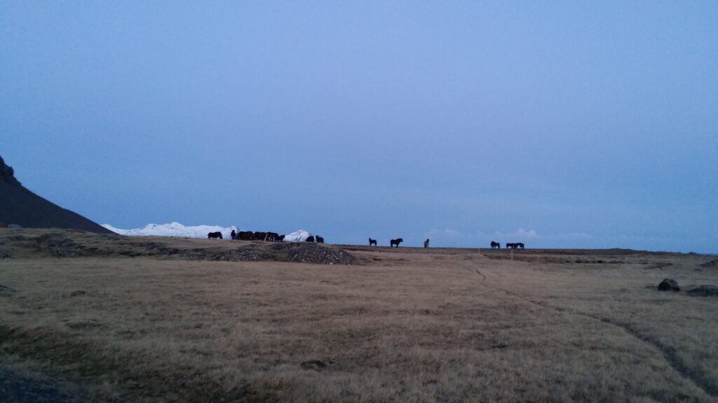
Icelandic horses at sunset.

If you ever get out of Reykjavík: It is possible to find splendid hiking tours outside the lists of Icelandic tourist attractions! Actually, it is very nice to go for a regular walk along valleys or by the shoreline. Does this sound boring? Not at all! Calm down, breathe deeply in the fresh air, and enjoy going for a walk without planning and queues and crowds of people.
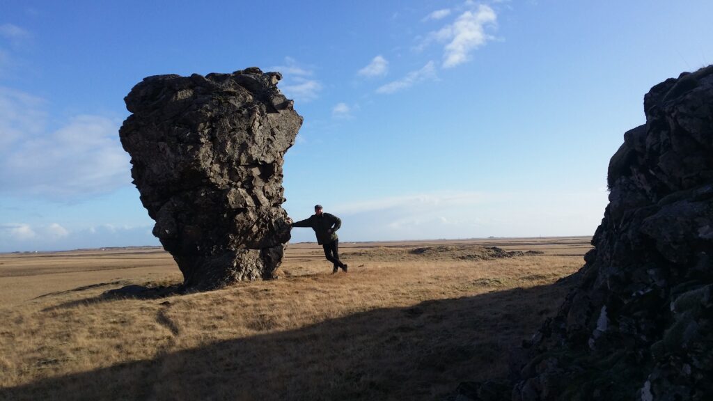
The exclamation mark at Rauðaberg.

During the quarantine at Rauðaberg, one day we went along the ‘Hauka’ (Hawk) valley below the mountains.
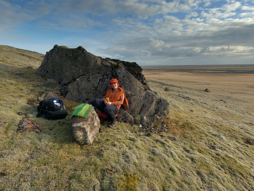
Short rest in Hawk valley.

On the way we saw several farms, houses, fenced clusters of trees and plenty of small, beautiful waterfalls.
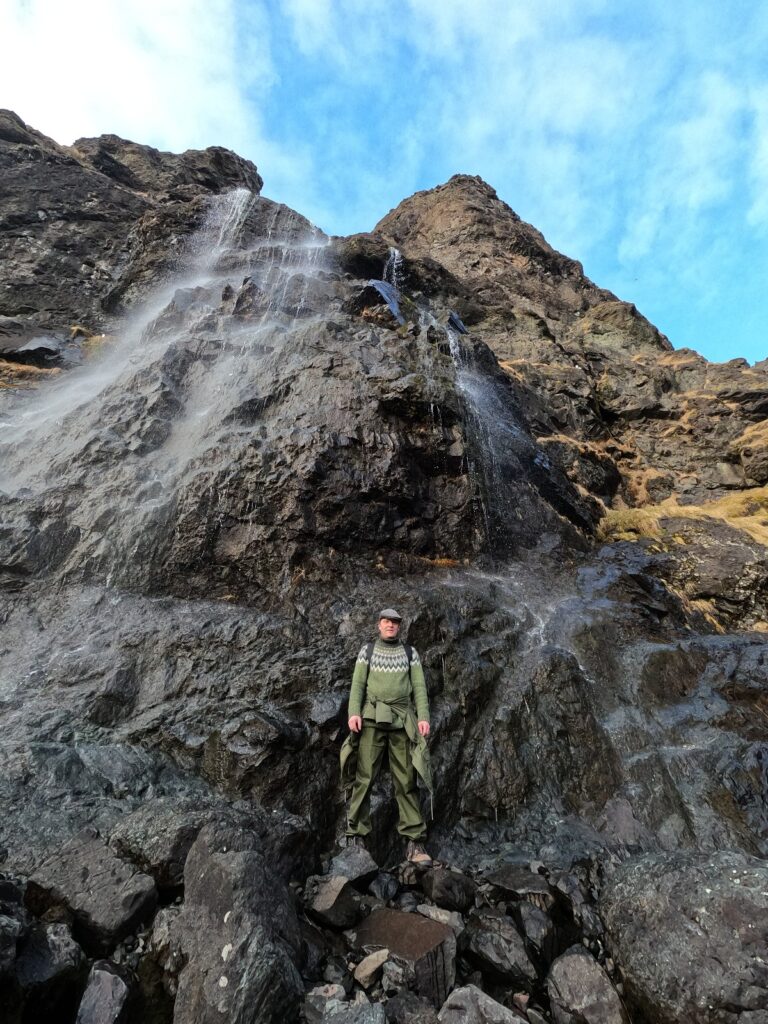
This is how it looks like when Knut thinks he is well camouflaged.

There were a lot of birds in the mountains. Mostly seagulls, but also ravens. The ravens always appear in pairs. No wonder the Norse mythology equipped Oðin with two ravens: Huginn and Muninn.

Entering the end of the valley we found a field of trees; pines and larch. A memorial has been erected by the road in honor of the forester who started planting trees here. And finally we arrived at a two level waterfall.
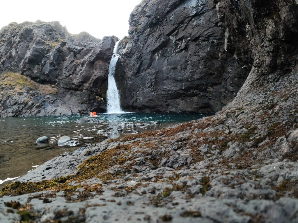
Bathing in the ‘Nameless’ waterfall.

This got to be our personal bathing waterfall during the quarantine week. It was an excellent experience to swim in the pool below the waterfall. Such a beautiful place, with a waterfall that does not even have a name (that we could find). The fascinating thing about all waterfalls is how much strength they have when you stand in them, but when you check afterwards what flows out, there is close to nothing! How is it possible that something that looks like a small stream roars and knocks the air out of you when it falls over the waterfall edge? Water for sure is powerful!
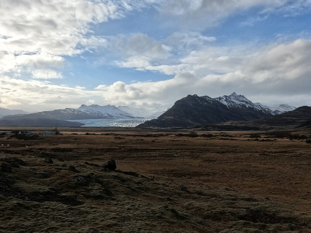
Sunset at Vatnajökull.

Oh, how nice it was to get out of the home office. Away office in Iceland was so much, much better!
Telegraph Bay

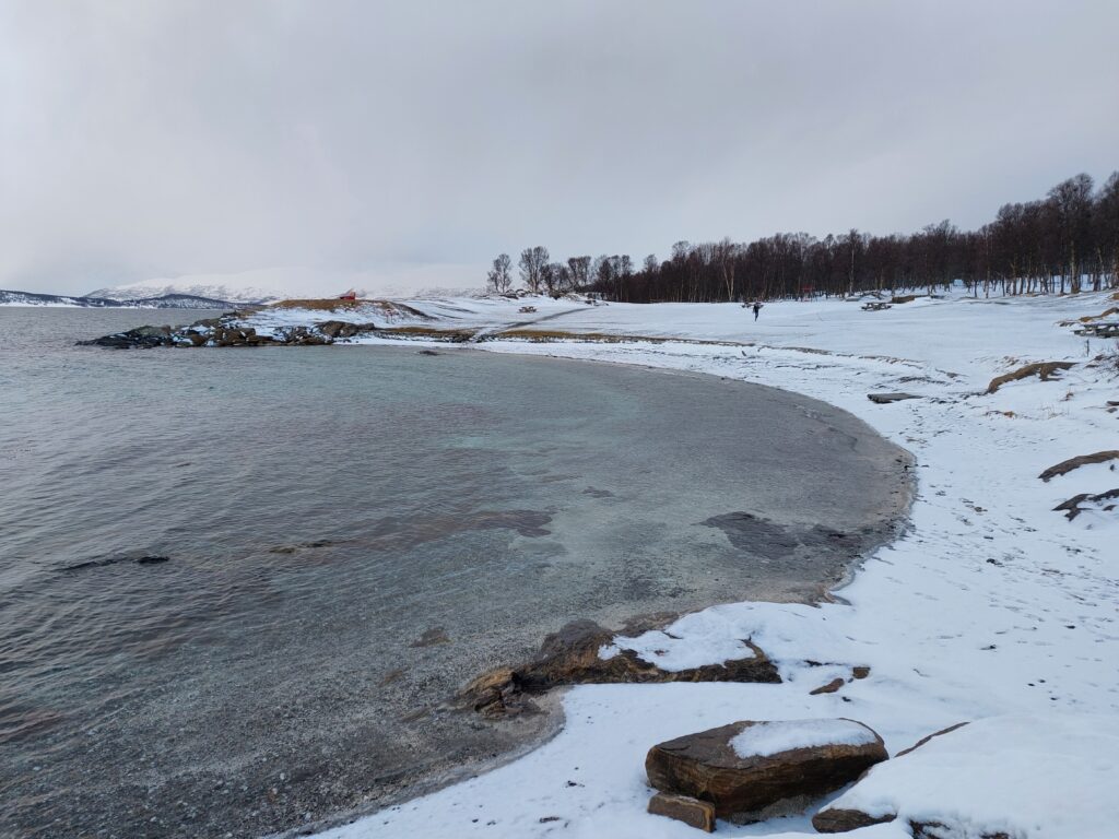
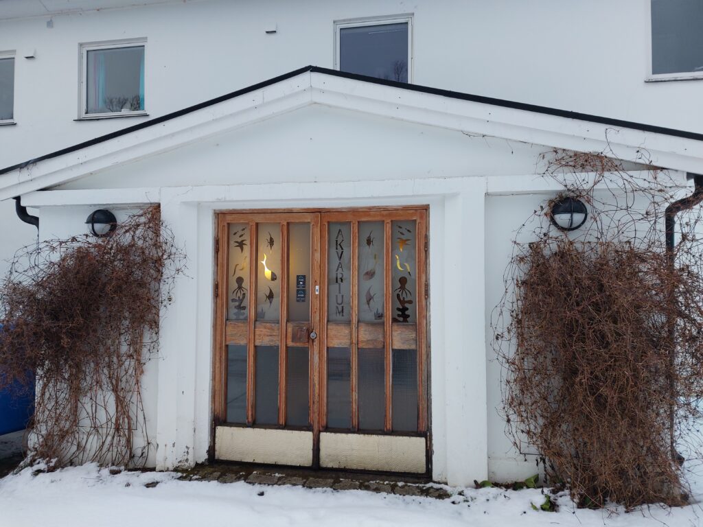
Tromsø’s city beach is on the south tip of Tromøya (Trom island). We parked at the old aquarium, a starting point of nice hiking paths along the ocean. The old aquarium opened in 1952 and collected salt water from 25 m depth so the animals could have the same environment as in the sound.

The old aquarium in Tromsø.

For a period Tromsø Museum had not only seals and reindeer, but also polar bears in Telegraph Bay: Binna and Pelle (mother and son). It is said that they loved biscuits, but the main food was fish. In 1954 they escaped and started swimming towards Grindøya on the other side of the fjord. After a wild hunt they were recaptured and the police ordered them killed. And that was the end of the zoo in Telegraph Bay.

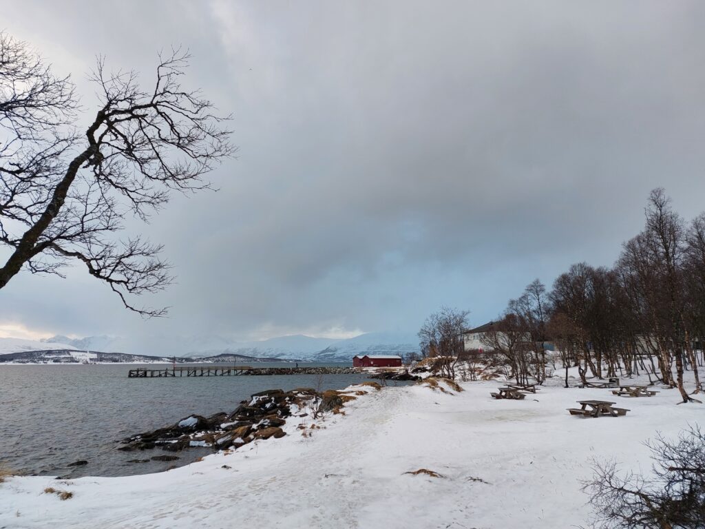
View towards the old aquarium.

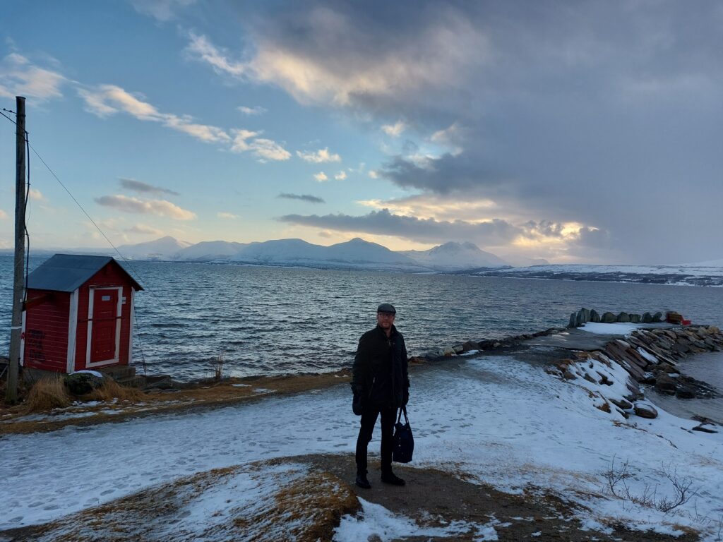
So we felt quite safe as we went for a test swim. The bay is named after a sea cable layed across the fjord to Tisnes in 1894. The cable house still stands and gave some shelter from the rather icy winds while we were changing.

Knut and cable house in Telegraph Bay

Corona had loosened it’s grip, so there were quite a few people on the paths taking pictures of the beautiful mountains on Kvaløya.

Bay with a swing.

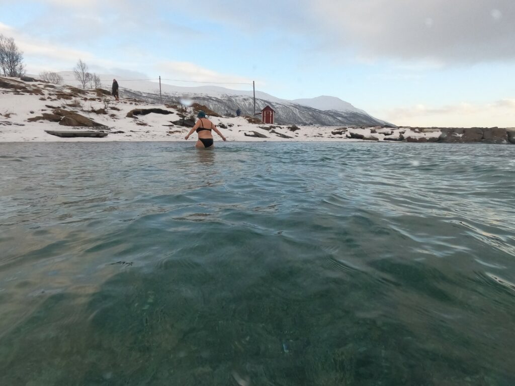
For their sake we hope they had better luck with the equipment than we had that day! Our GoPro totally failed us, so we got only 4 pictures from the bath instead of 1 each second. We now have 2 GoPros, and a tripod for mobile, so we can assure getting at least some useful pictures from future baths.

Idun is rising from Telegraph bay.

But a nice, fresh bath it was. Right now is a good time for a bath in Telegraph Bay! Next time we go there, we’ll get some better pictures too…

Kayaking in Viking Land

Senja is Norway’s second largest island, with an area of 1586 km2 and almost 8000 inhabitants. The name possibly comes from the Norse ‘sundr’ = ‘separated, apart’, and in that case refers to the strongly divided coast. The nature at Senja is spectacular: High mountains, deep fjords and beautiful, white beaches.

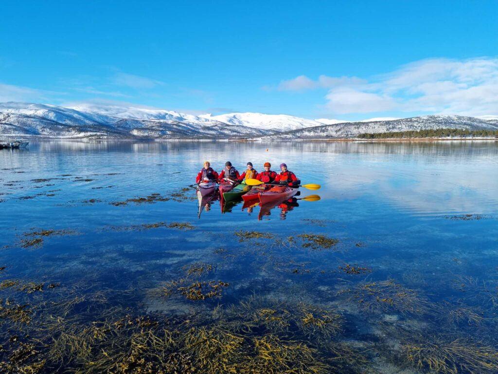
Okay nature at Senja, in okay winter weather. The forested island is Tranøy.

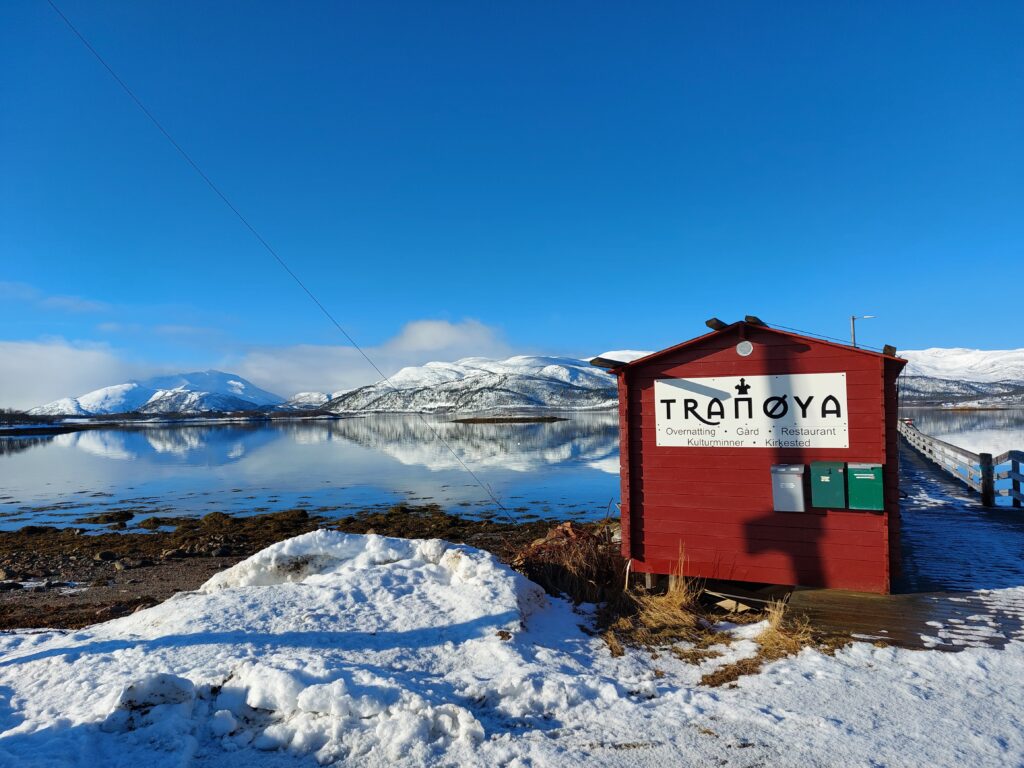
On the south side of Senja island is the small island Tranøy (Crane island). On Tranøy, people settled some 2000 years ago. Remains of 3 boat houses from Viking times have been found, and also burial mounds. There we wanted to go kayaking!

Starting point: FV231.

Idun’s big brother Frode has vacuumed the second hand market of kayaks for years, so he is well equipped. Knut was corona sick and stayed home, so the seventh kayak was not in use this day.

Ready to paddle. Photo: Ulrike Naumann.

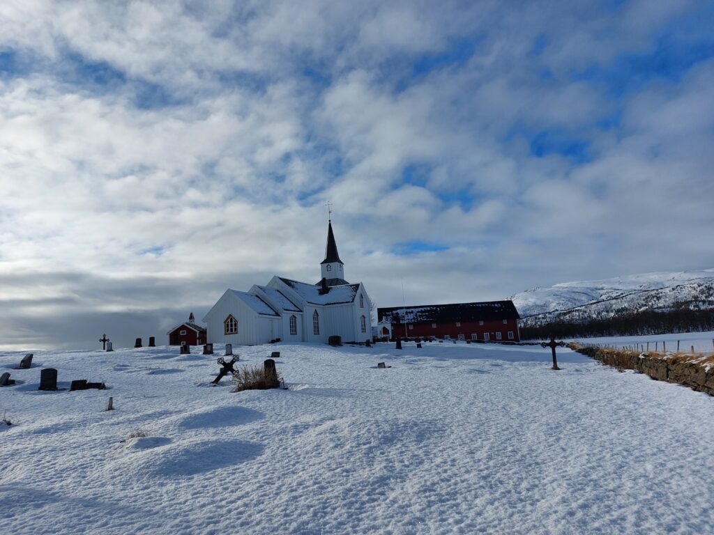
Tranøy is an old church site, and was under the Archdiocese of Nidaros from 1270. Today there is a rectory on the island, with a museum in the old house.

Tranøy rectory.

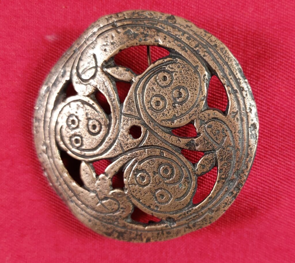
Several exciting stories are presented in the museum. Here is a picture of a women’s brooch from around the year 900, which was found in the former Tranøy municipality.

Brooch from year 900.
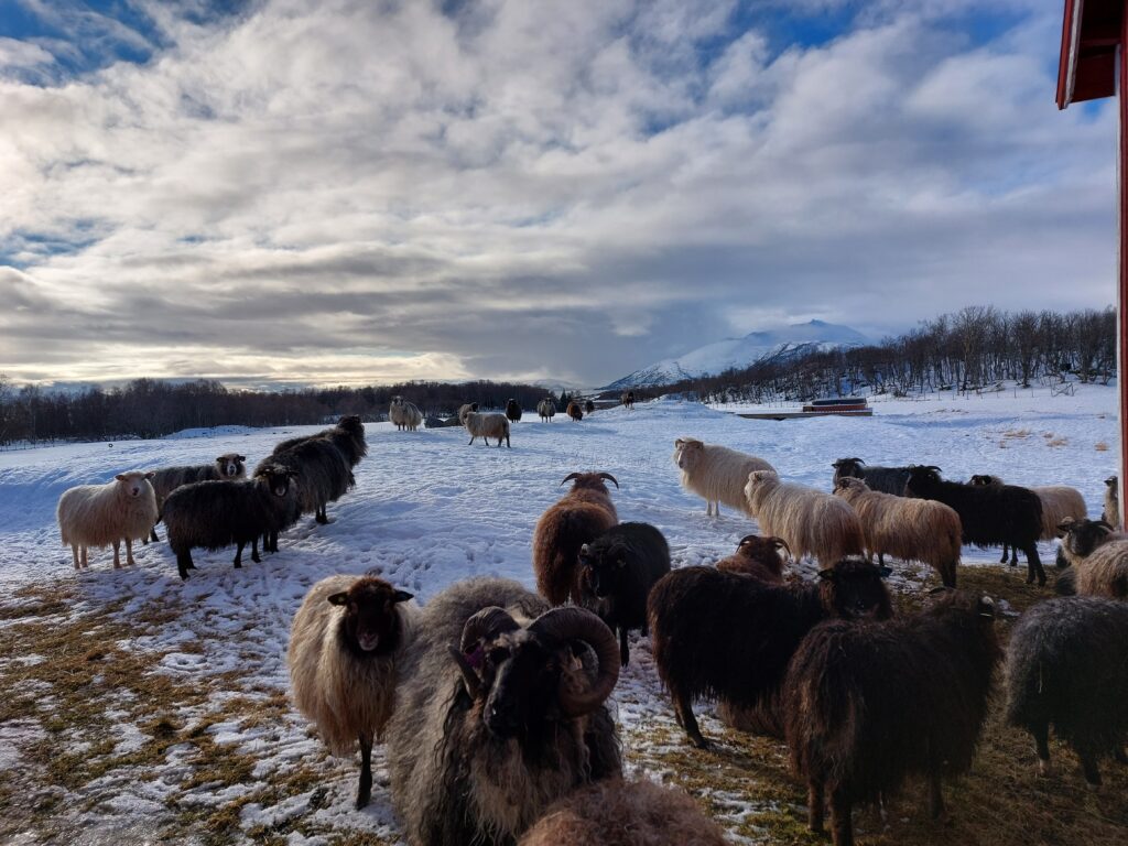
Tranøy’s wild sheep. Back to the left you can see burial mounds.

There is a beautiful white beach on Tranøy, but for practical reasons there was no bathing done here this time (‘Someone’ had become hungry, and the food was forgotten in the car). Well back on ‘Mainland-Senja’, however, a bath was just the right thing to do, even though the sea was not quite as shiny as at the start of the trip.

A bath in front of Tranøy.

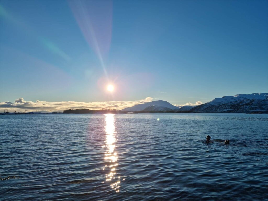
A bath in front of Tranøy is just perfect!

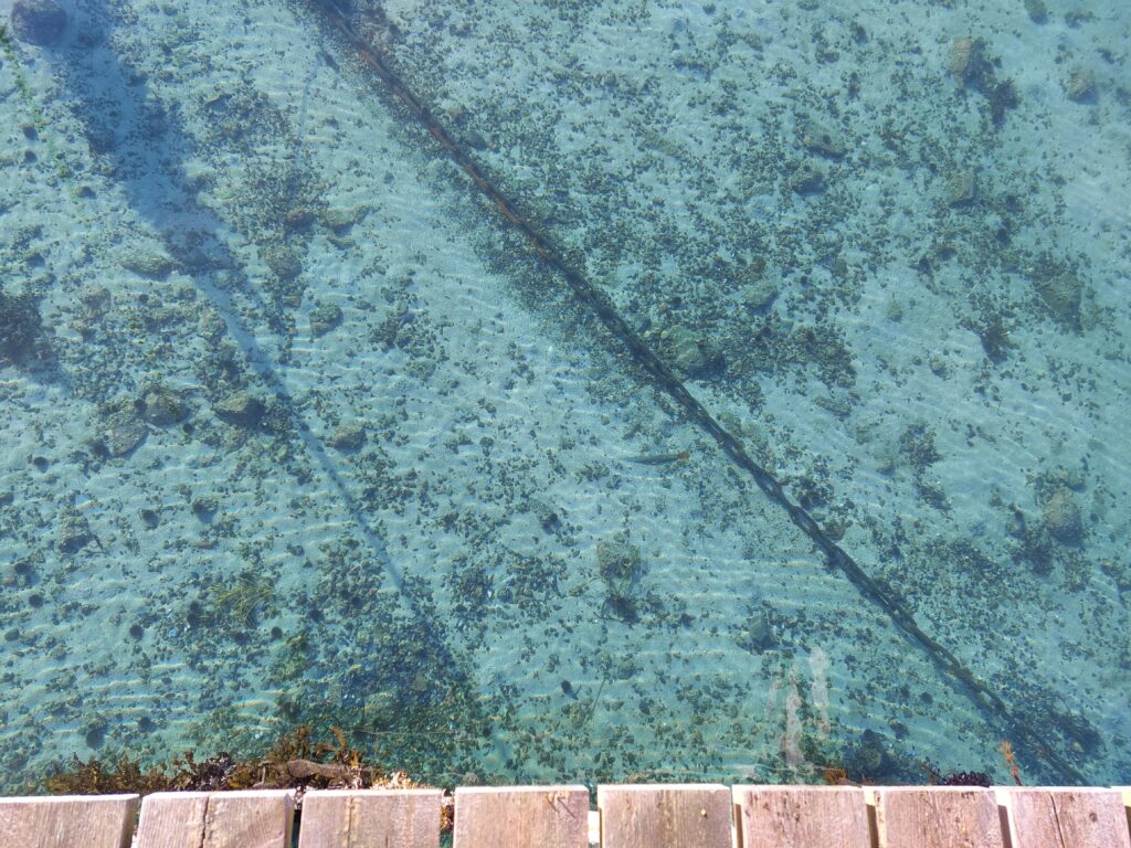
Water can’t be more crystal clear than this, can it?

Bonfire house bath at Senja

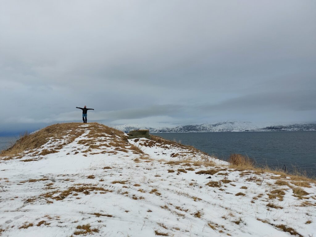
North east on Senja (Norway’s second largest island) there is a cape and close to it a hillside with a chip in it (chip – skår, hillside – li, cape – odde: Skorliodden). It is a good view to the seaway in to Tromsø, which means it is a good place for a fort. Skorliodden fort was put up by the Norwegian Defence Forces with pre-german materials. The fort is now gone, but the pier is still there.

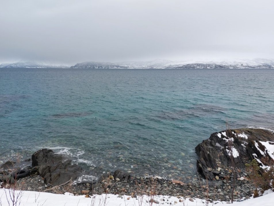
The weather forecast predicted some wind this day, so instead of the planned kayak-tour we went for a walk to watch the waves.

No, this hunt was only for pictures and baths. No rules broken.

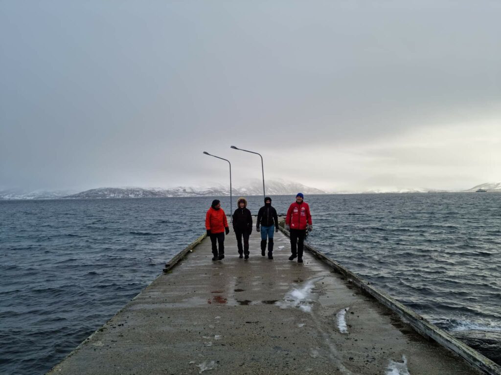
We parked at Vangshamn and went by foot out to the fort, a nice half hour walk. And plenty of time to look forward to a bath in the extremely clear water!
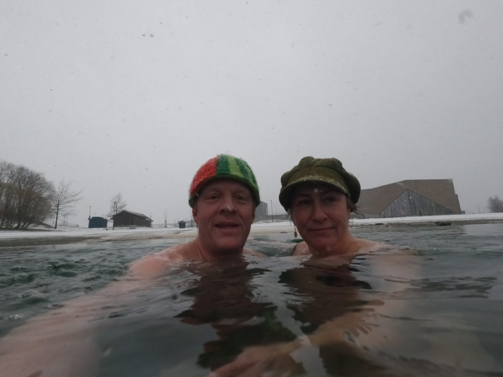
Clear as can be!

From Skorliodden you see over the fjord towards Kvaløya wind mill park. Doesn’t look too bad, considering there are still plenty of untouched mountains left in Troms and Finnmark.

Inga enjoys her freedom. Kvaløya in the background.

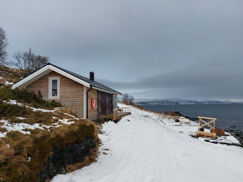
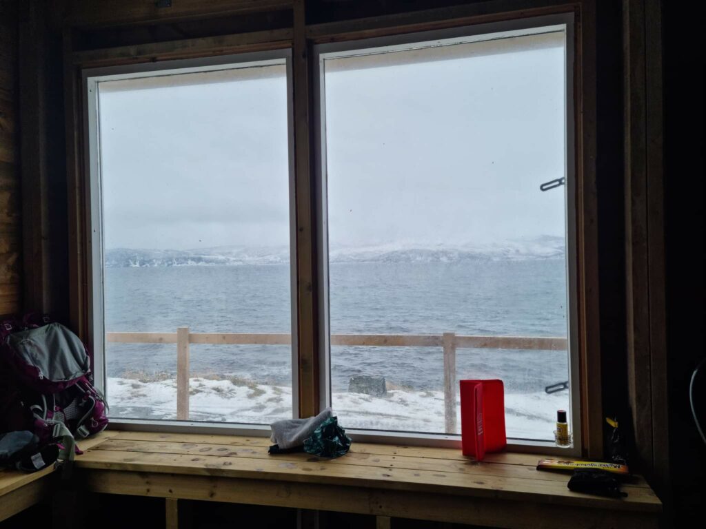
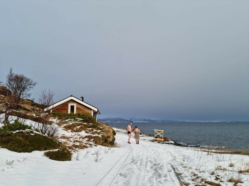
On Skorliodden they have made a bonfire house after plans from Furøy Velforening. It is rather windy out on the cape, so some shelter is rather welcome.

Skorliodden bonfire house. Soon also with panorama windows.
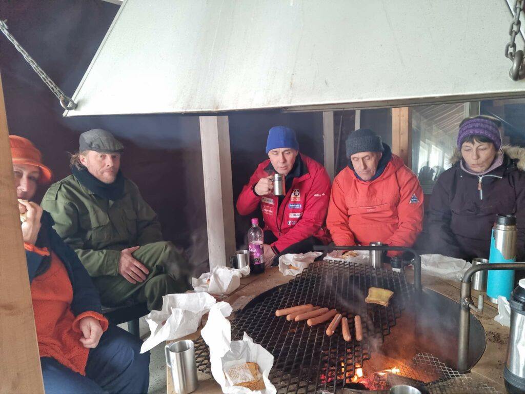
Hot dogs in focus. Comfortable in the bonfire house on Skorliodden! Photo: Ulrike Naumann.

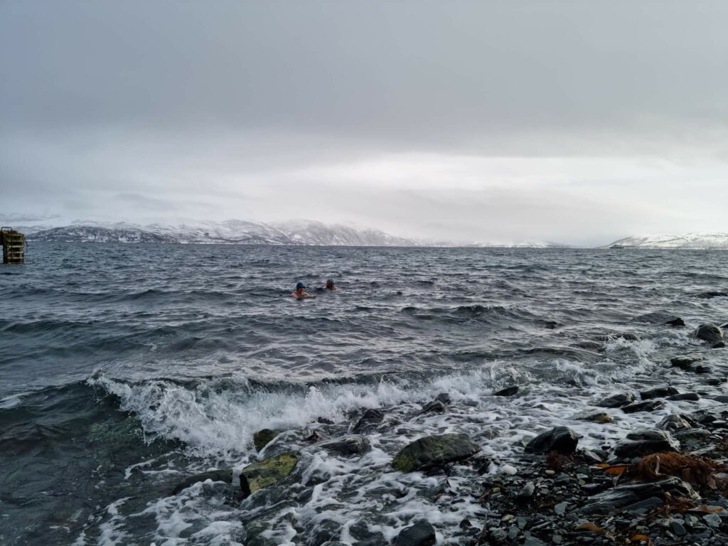
After food it was time for a bath, but strangely enough no one else than Idun and Knut wanted to have one. Most were happy just walking along the pier and looking at the waves. No closeup studies wanted.

Windy on the pier. Photo: Ulrike Naumann.

Quote from big brother: ‘’If you give me 50 kr, I’m happy to deny you to bathe today!’’. An offer we easily could refuse, who can withstand such a tempting bathing spot?

What will I see – over the giant waves? Photo: Ulrike Naumann.
Skorliodden wave pool. Photo: Ulrike Naumann.

They waves weren’t as big as expected though. So then we could return to the bonfire house.

Chilly and nice at Skorliodden. Photo: Ulrike Naumann.

It is always a good time for a bath at Senja!

Animal tracks in Sørreisa

Iduns big brother Frode lives on the peninsula Furøy (pine island, although it was called Leirøy, clay island while it was still an island) between Finnsnes and Sørreisa centre in Troms. Every winter he arranges an activity holiday for the Løwø siblings. This time we wanted to join! BUT – Idun broke her shoulder last time she skied, so the main activity of skiing wasn’t so tempting. A bath, on the contrary, is always tempting!

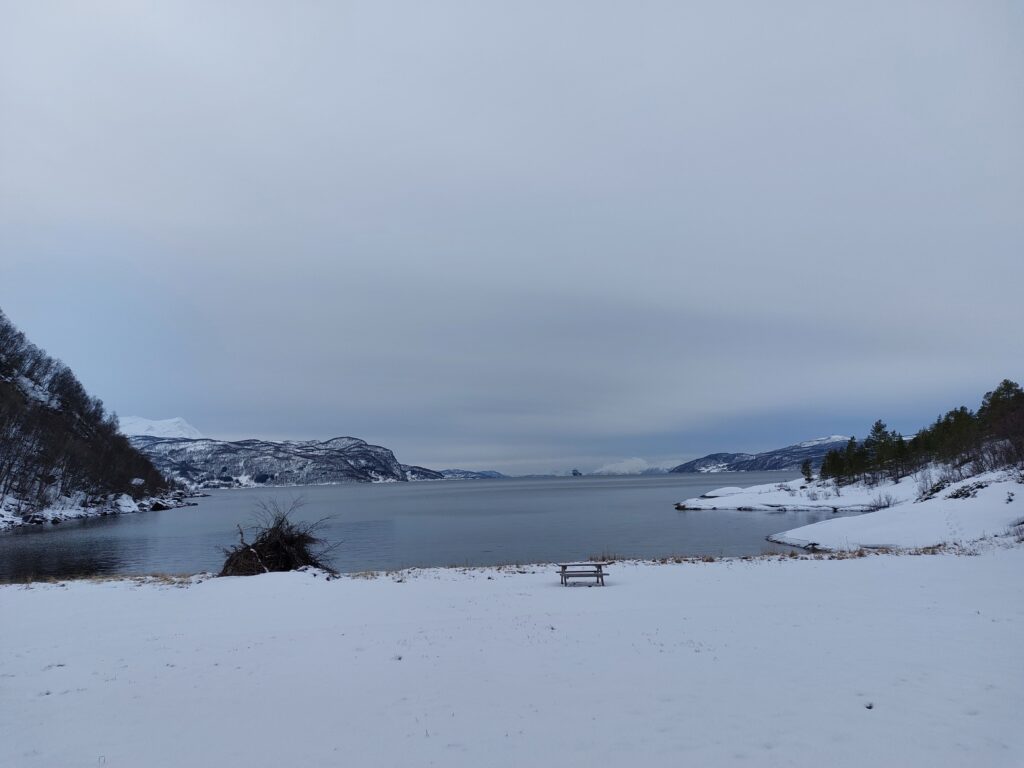
Pittoresque view at Tømmervika.

Close to Sørreisa church is Tømmervika (the Timber bay), and from there it is a short walk to Storvika (the Big bay) – Furøya’s primary bathing spot.

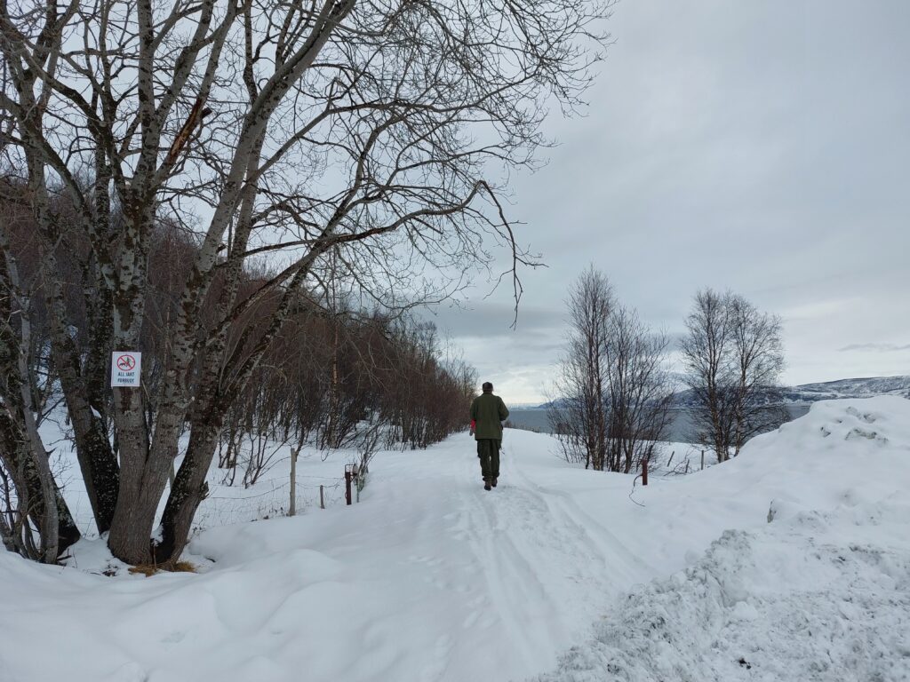
Quite easy to find Storvika, even though the road wasn’t cleared of snow.

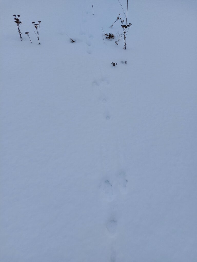
Crossing the road were tracks of rabbit, moose, deer and fox. Deer are living here only for the second year. They rely on old conifer trees and last year the planted conifers were finally old enough. About the fox: we _think_ it was fox, since there were no human tracks nearby. Maybe if we could have heard what the fox said…

Jack Rabbit was here.
Nice with a sign to tell you to stop. Some never are able to do that.

The deer had had a gathering in Storvika, but it seems as the Humans are planning on reoccupying the area. A big bonfire was already in place. Tempting to bring out the matches…

Everything ready for a pentecost bonfire, or do we have to wait for midsummer?

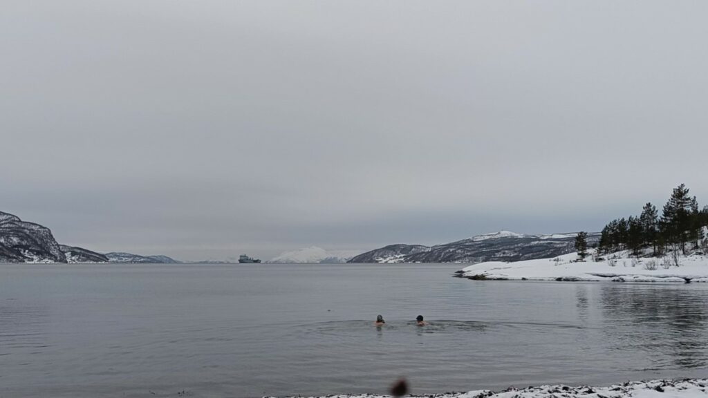
In the background is a war ship participating in the exercise ‘Cold Response’. It had good speed as we arrived, but suddenly stopped. Was watching two crazy mid winter swimmers that interesting?

Who is studying who?

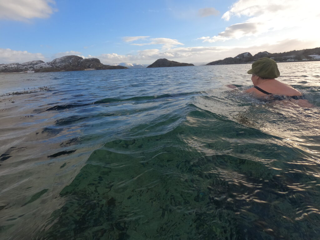
There was much seaweed on the way out, but wow (!) how clear the water is here up north. Big brother wondered if we did swim out to the small rock in the bay, some 250 m out. But we were there at high tide and didn’t notice any rock. Might have been just as well. Maybe next time!

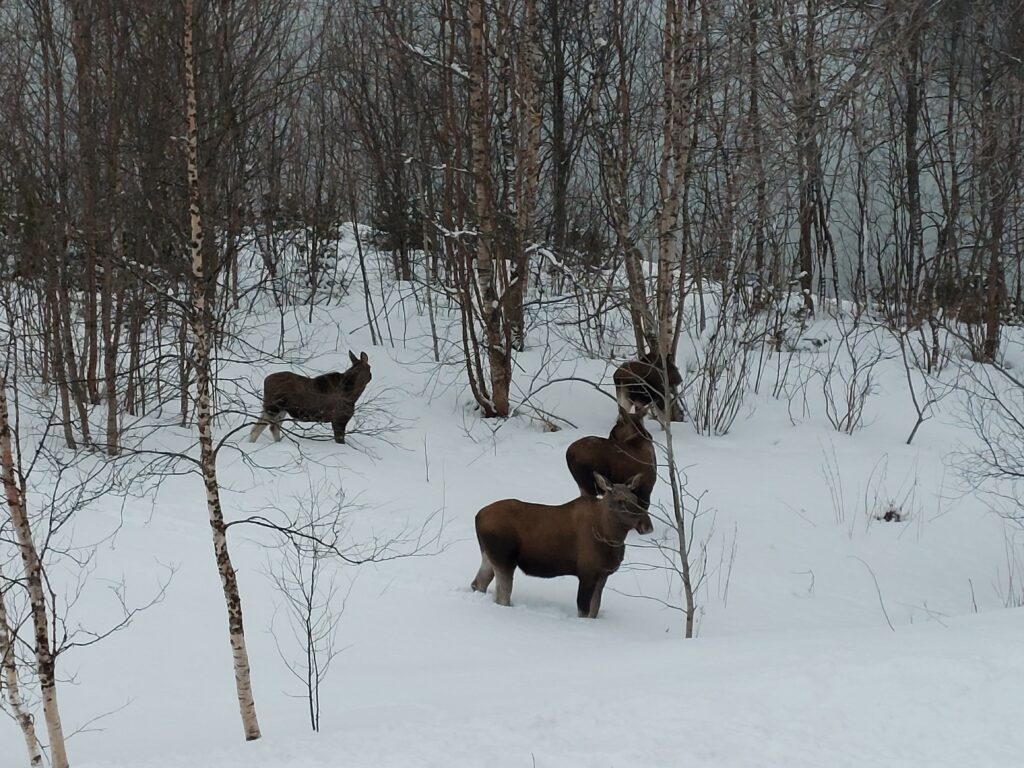
Back at big brother’s house we could see who had made some of the tracks we saw! Not too shy, these ones…

Furøy. Four moose at sunset.

It is always a good time for a bath in Storvika!

The old river outlet

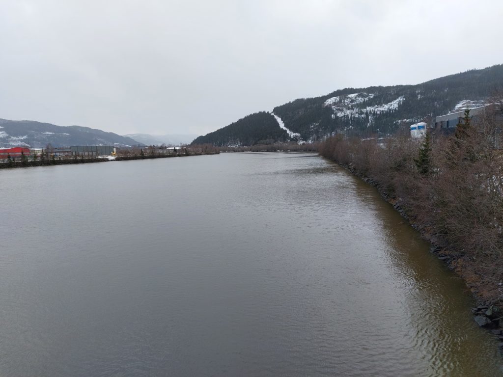
The river Orkla is the basis for most of what is going on in Orkdalen (Orkla valley) and has given name to the town (from 2014) Orkanger and the new (from 2020), widened commune Orkland. The name possibly comes from the old norse ‘orka’ = work, which may describe the heavy streams in the upper river. There are no natural water magazines in Orkla, so floods are not uncommon. In the flood “Storofsen” in 1789, lives where lost. But it is a good salmon river, with the biggest catch ever being 25 kg.

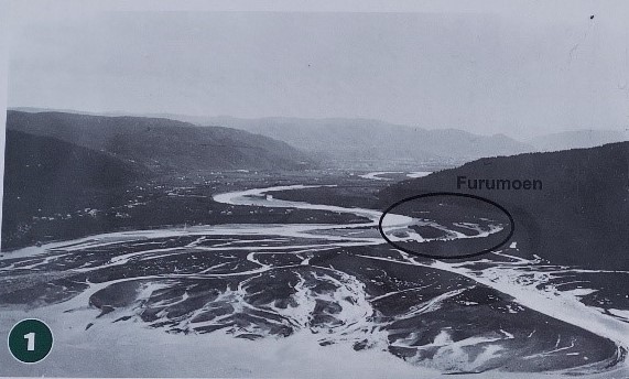
The Orkla delta before routing to channels. Picture from info plate at ‘Furumoen’.

The river’s own work with creating a delta was not too much appreciated and the lower part of the river was channeled, so the delta could be used for industry instead.

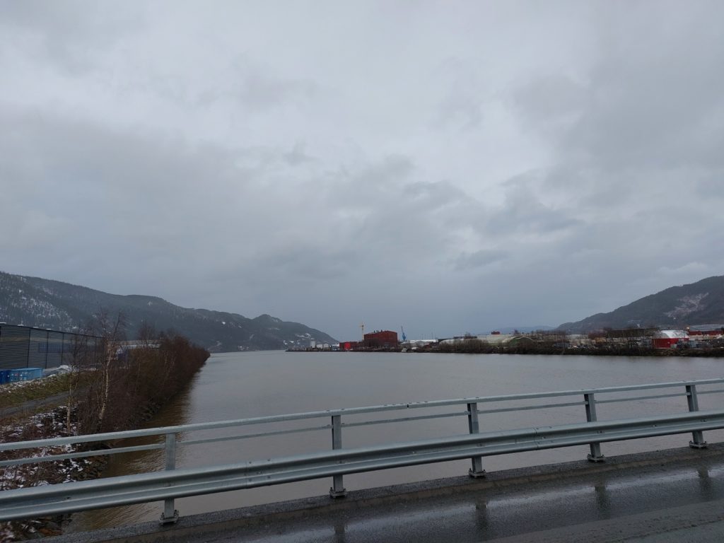
Straight sight lines in the lower parts of Orkla.

The idea has worked well and there is now a significant amount of industry on Grønøra in Orkanger.

Orkla towards Orklafjorden.

The channeling of Orkla turned the old outlet to a backwater. What to do with that? Plans existed to fill this up for industry as well, but local enthusiasts stopped it from happening. The last 15 years, Orkanger Vel has put great effort into Gammelosen (the old river outlet), and it has given results. Covered with white shell sand, you have the nicest little city beach you can ask for. Pure paradise!

Got to bathe, simply got to bathe!”
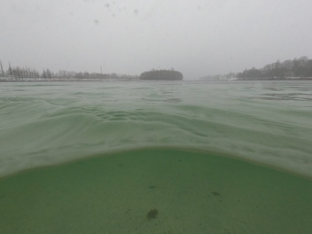
Clearer sight under water than over!
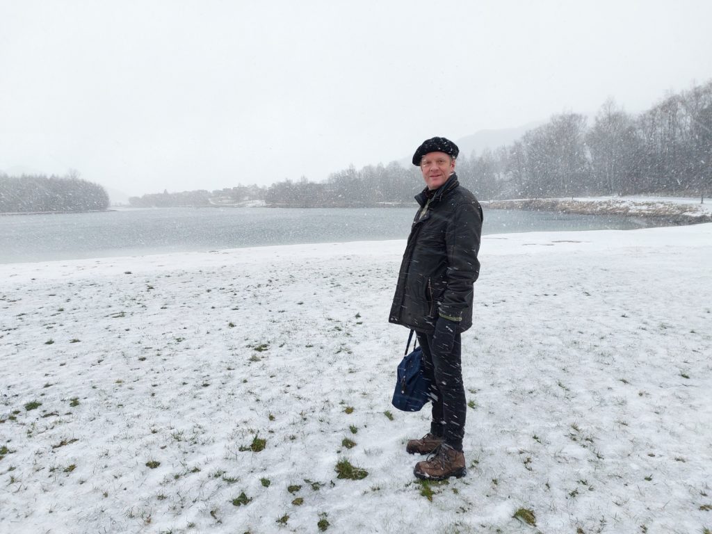
Oh, yes, at Gammelosen there is sand under the snow.

The nice thing about going to a sand beach at winter time, is that you don’t bring half the beach with you back home, because of the snow layer on top! Perfect!
…and for those who for peculiar reasons might not appreciate cold baths: Right by Gammelosen is also Orklandsbadet (since 2020), with everything you could possibly want of water slides, swimming pools and saunas. Enjoy!

In the building behind us we could have taken a warm bath, but why would we?

For the sporty ones, this where the triathlon race Trøndertri is arranged in august. With some luck the ice is gone before that…

A bathing bay paradise

From the island of Storfosna (previous post) you can cycle further out to the ocean, to Kråkvåg (Crow Bay).

Holmen Island and Kråkvåg in the background.

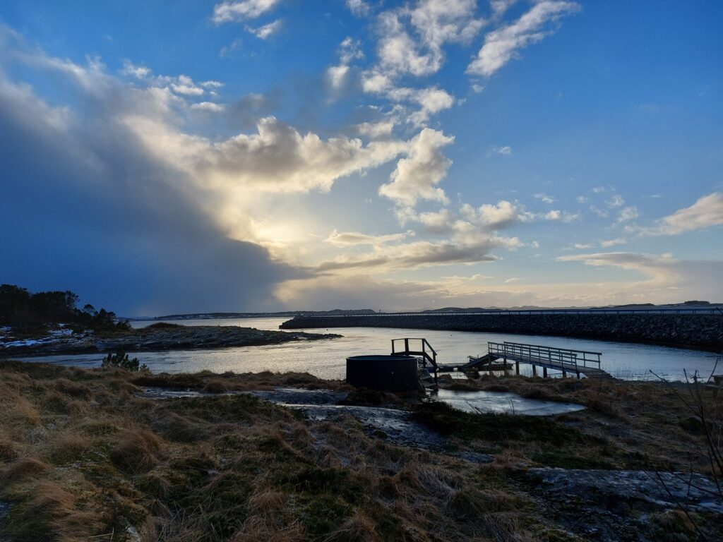
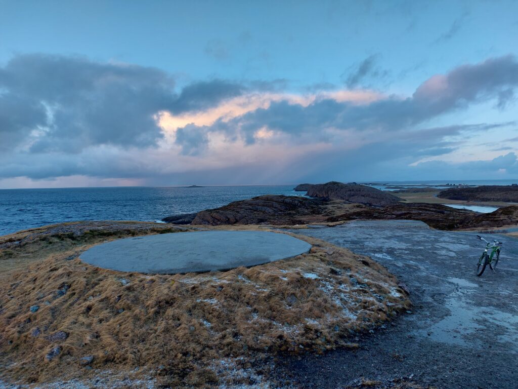
On the way, the small island of Holmen is passed, and here they have set up a small bath tub. Unfortunately not in use in February 2022.

Bath tub in changing weather. Kråkvåg in the background.

Kråkvåg is both an island and an archipelago consisting of four islands. The name comes from the crows, which seek refuge here at night. The population of humans is around 50. This is an incredibly beautiful place!

Rocks and beaches at Kråkvåg island. Storslåttøya (big harvest island) in the back.

At Kråkvåg there are dozens of small and large, beautiful white beaches. There are so many that you will always be able to find a sheltered beach. Which comes in rather handy, there is a lot of wind here!

Not very far from beach to beach at Kråkvåg.

While cycling back and forth, unable to choose the best beach for bathing, we found Skjærgårdsstranda (Archipelago beach), and it basically chose itself.

At Skjærgårdsstranda, it’s always the right time for a bath.

The crowd of people was reasonable when we visited Skjærgårdsstranda at the end of February. But in the summer – what a paradise: benches, barbecue, bathtub, bathing bay and sauna! Here we had our fresh winter bath, a little exciting too. There were so big waves this day that a real drag was created in the small bay. Lovely!

At the end of the road you will find Kråkvåg fort, built in the 1980s.

Where the cannon used to be at Kråkvåg.

After investing a billion kroner in building the fort, it was closed down before it came into use.

Kråkvåg with the Island Storfosna in the background.

Of course it wasn’t a waste of money. At least the ‘Kråkvåg people’ got a bridge!

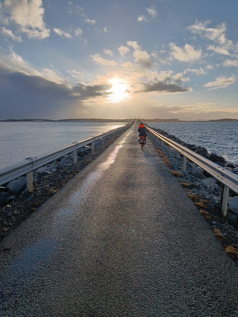
Cyclist at sunset

This day we cycled almost forty kilometers. It was a hard exercise, because none of us had cycled much during the last 3 months. However, this was solved in the very best way: Accommodation and spa at Hovde farm in Brekstad.

It doesn’t get better than that!

Island hopping and bathing

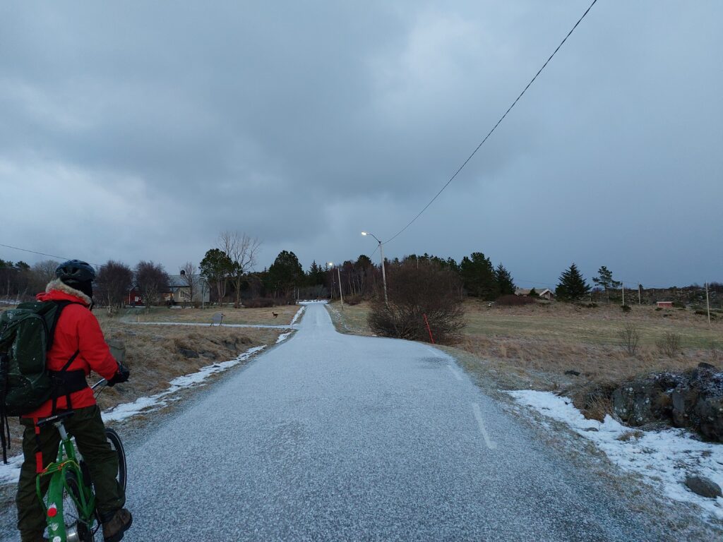
After some time mostly spent indoors because of bad weather and corona, it was time for a new bathing adventure. The bicycle trip to Ørlandet was a success last time, so we wanted to follow up with the same starting point. What could go wrong? Well, a flat tire before we got to the boat quickly answered that question. Luckily, this time we hadn’t cut the time too sharp, so we still came in time for the boat.

The guy who reached the boat with a flat tire.

It is okay to bring bicycles on the boat, but be warned: Bicycle trailers are specifically not allowed! After arrival Knut got the bike fixed in a bike shop (the repair kit existed only on the packing list, not in the backpack). The repair man wasn’t in, but came after a few minutes anyway, when the problem was explained. Thank you!

From Brekstad there are 10 km to the ferry port of Garten. A nice and flat bicycle trip, but it is in it’s place to point out that Ørlandet is always windy! This time mostly from the side, so not too discouraging for bikers.

The map of Ørlandet shows it laying at the opening of the Trondheimfjord, with a form like the Italian boot, only opposite. The tip of the boot kicks the little island Garten away, but they are kept together by a bridge.

Middle left is Garten, to the right of it Storfosna.

From Garten there is an hourly ferry to the island Storfosna. Storfosna is 11 km2 and has approximately 100 inhabitants. They are well used to bicycle tourists on the ferry, but the ferry guy commented that we were the first in 2022. And oddly enough also the first bathing tourists this year…

The name Fosen comes from the Norse word ‘fólgsn’ = hiding place. This reflects the well protected bay between Storfosna and the peninsula Fosenheia, which later gave name to the whole peninsula Fosenhalvøya (The Fosen peninsula).

The bay at Storfosna gave good protection against weather and enemies.

Further south, there is a similar, smaller hiding place: Lille-Fosen. Since 1742 it has been called Kristiansund. The stone age period Fosnakulturen has its name from Lille-Fosen, but is not a topic in today’s article.

Storfosen manor is well known from the 12th century. It is one of the largest in Trøndelag and formerly belonged to the crown. The farm was under Austrått for a long time, and “Lady Inger” lived here from 1524, as a widow.

Storfosna manor has an area of 4440 decare.

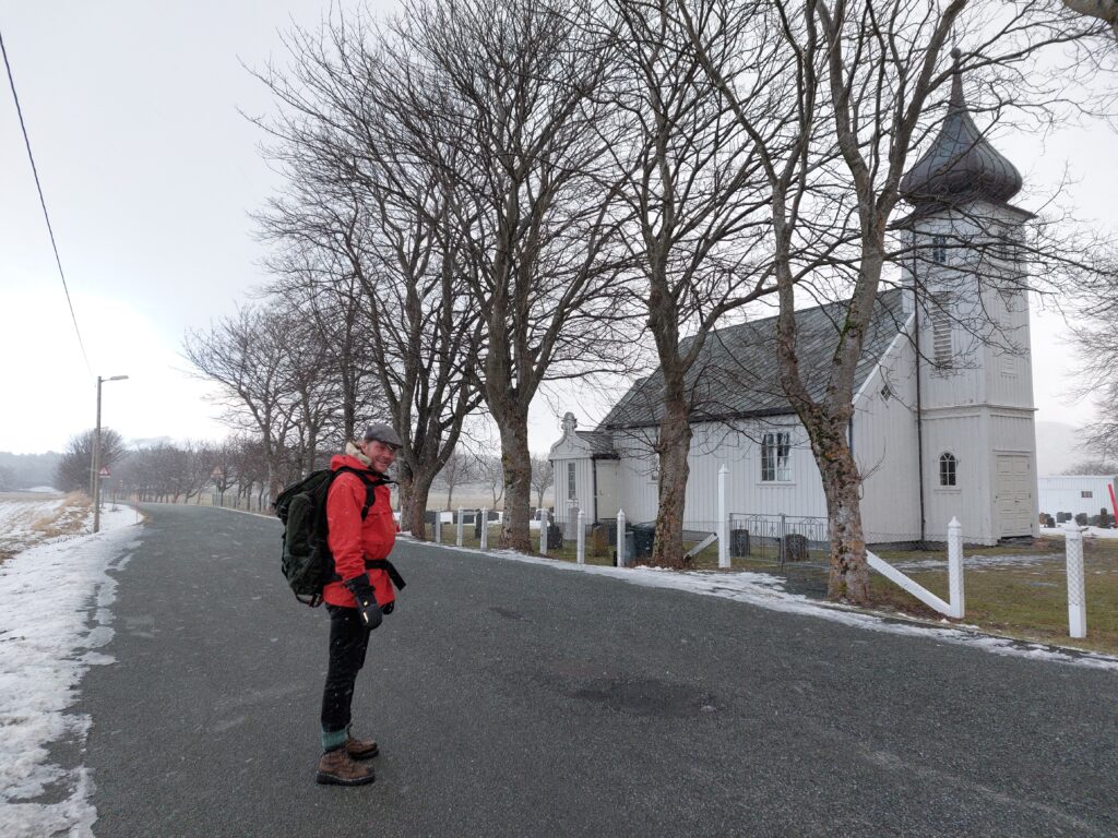
Storfosna has plenty of lovely beaches, but in the bay they are mostly very shallow. Idun still wanted a bath in the proper “hiding space”, so we walked down to the water from the chuch. Here we found beautiful, white sand and crystal clear water, but the tide was low and the water too shallow for a swim. So we walked on onto a small peninsula and found a boat house made of stone and concrete, a perfect bath house of the day! It reminded us of the halfway buried turf houses on Iceland.

Well camuflaged boat house on Storfosna.

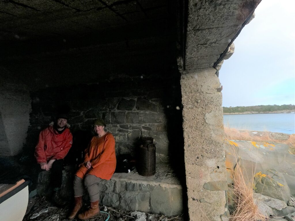
The boat house shielded us from the wind and was a comfortable place to change for a swim with a view!

Swim with a view.

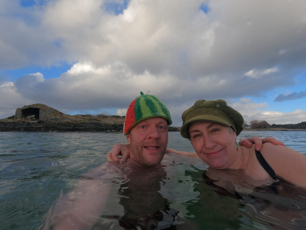
A selfie is always required, this time with the manor behind us and the boat house to the left of the picture.

Local spa facilities!

And after the bath the mandatory hot chocolate and some Eddie.

Changing hiding place in the big hiding place.

A great bath! The weather changes quickly in Trøndelag, but Ørlandet this day really outdid itself, the weather never was stable for more than 10 minutes! Back on the bikes after the bath, the hail came horizontally right in our faces.

Knut looks forward to bicycling in the hailstorm.

The bike ride offered lots of bird life: Swans, seagulls, cormorants, eagles… In Ørlandet there are several bird protectorats, so be aware of limited access in the hatching period!

Deer on the road. More precisely right behind the road. And one behind the road sign.

The big population of deer on Storfosna gave us a nice surprise at sunset. Bicycling, island hopping and bathing on Ørlandet is hereby recommended!

Opera Bath in Kristiansund

Kristiansund with its 25,000 enthusiastic inhabitants started its opera tradition in 1928, 32 years before Oslo got it’s opera.

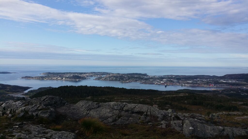
Kristiansund, with the island ‘Innlandet’ to the left.

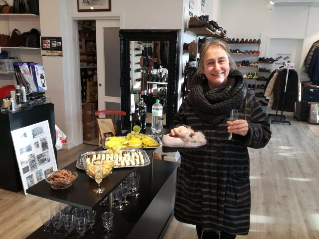
Every year, in February, the city is filled with small and large events. The whole city is in party mood, and we have joined the festival several years in a row, naturally enough since Idun has worked for a couple of years in Kristiansund. – Try it yourself – this is fun! Tempting bubbles can be found even in the shoe store! Doesn’t get better than that!

We were tempted, indeed. There were free bubbles and not quite as free shoes before noon on a Saturday.

There were no less than 3 generations of Bræin who were behind Kristansund’s development into an opera city: Christian Bræin, Edvard Bræin and Edvard Fliflet Bræin. The larger productions take place in Kristiansund’s main hall ‘Festiviteten’, but during the opera weeks you can experience small and large cultural events almost anywhere: At a café, restaurants, ‘Sundbåten’ or maybe at the library. The small, charming boat ‘Sundbåten’ has been on route between the ‘lands’ (islands) in Kristiansund since 1876.

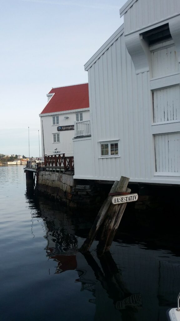
While waiting: A view of a “seagull stand” (Måsestativ) but no Sundbåt in sight.

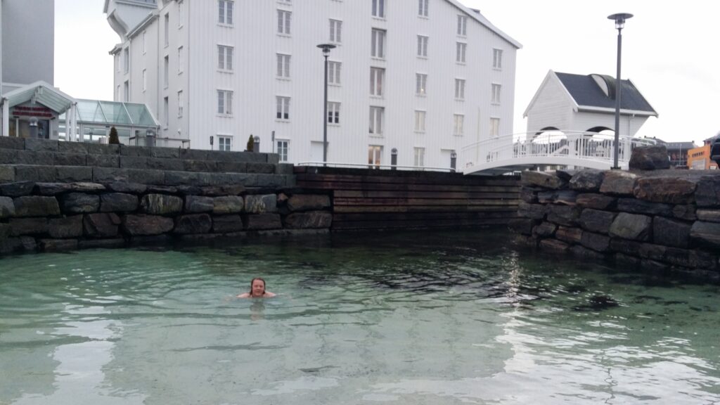
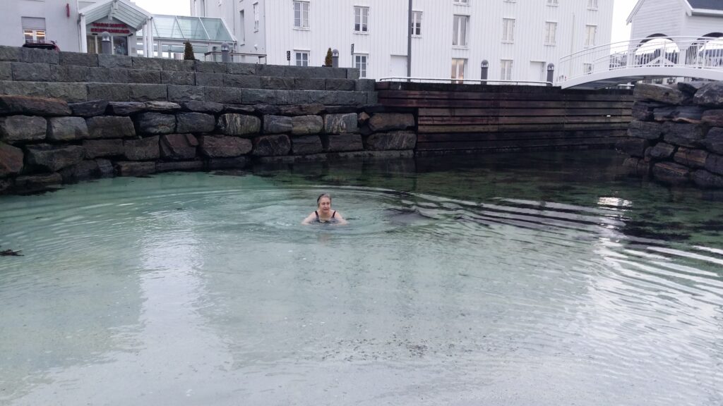
In a city consisting of three islands and one peninsula, there are many swimming opportunities of course. This time we promote the simplest alternative for opera bath enthusiasts visiting Kristiansund: The beautiful, tiny beach by the Thon Hotel on the island ‘Innlandet’.

White mini beach at the Innlandet island.

Here we have bathed several times, both with and without hotel booking, and the water has been crystal clear every single time. The reseptionists send somewhat weird looks as we pass the reception on the way in and out, but so be it.

Fresh! Cold! Wonderful!

…and after the bath it’s just the right time to party.

Burns’ bath

“Burns’ supper” is celebrated around the world about 25th of January every year. Then it’s time to eat haggis, drink whisky and preferrably recite some poems of Scotlands national poet Robert Burns. He lived in the latter half of the 1700s and wrote about politics, but also everyday life and of course of love, in a way people could understand and relate to.

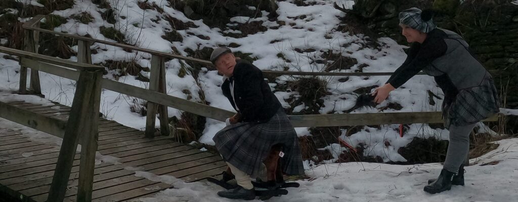
Best known around the world is probably “Auld Lang Syne”, but his most iconic poem many would say, is “Tam o’ Shanter”. It tells about Tom, who is riding home in a heavy rainstorm and comes across the Devil himself and a gang of witches dancing. It ends with the witch Nannie and the whole lot setting after Tom. Nannie manages to grab a hold of the mare’s tail just as it jumps upon a bridge. And thereby saves Tom and herself, because: “A running stream they dare not cross!”. But back on the riverside, Nannie stands with the mare’s tail in her arms.

To honour Robert Burns, we held a “Burns’ supper”, corona-restricted to just a couple of friends. Next day we went for a photo shoot. Firstly, we needed a horse. After some thinking we checked the market online for rocking horses and soon enough could pick up one almost for free.

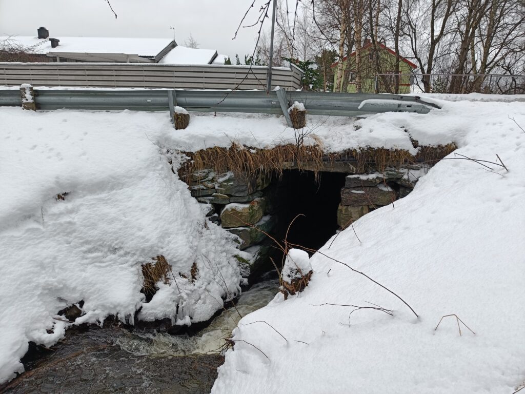
As a suitable bridge, we had read about Trondheim’s possibly oldest bridge: Stokkbrua, a nice, vaulted stone bridge. Knut even went to check out the bridge beforehand.

The crossing between “Gamle Jonsvannsveg” and Stokkbekken, as described, was easy to find, but the bridge had lost some of it’s former glory:

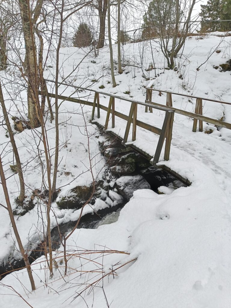
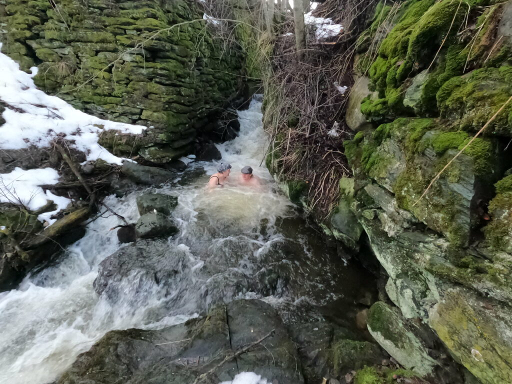
… where the construction of the new road had removed the vault. Somewhat disappointing, but right below it, we discovered a small walking bridge that was quite suitable:

… and even a nice bath tub between these two bridges.

So we took our scissors to cut of the mare’s tail and found a describing posture:

…Nannie with the mare’s tail

While we changed clothes for the bath, a familiy with a small girl came by. Since the horse had served our purpose, we gave it to them and they could continue their Sunday walk happy, but slightly confused, with a rocking horse and a disconnected tail in their hands.

Stokkbekken has a fun bath tub with a natural jacuzzi.

Even though the bathing spot worked nicely, we are not sure we will recommend it. We both thought there was an unpleasant smell in Stokkbekken. Nothing to do with the haggis the previous day!

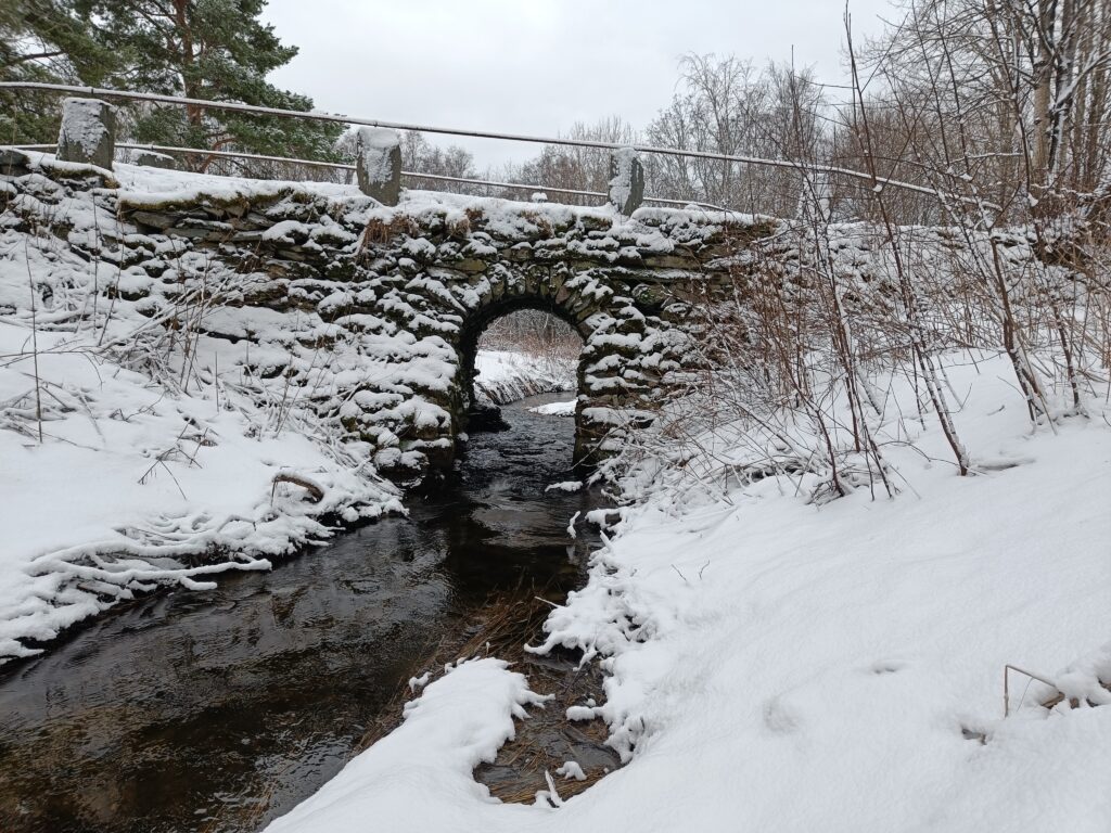
Afterwards, we have found that we had visited a (nameless?) bridge on what the map says is called “Gamle Jonsvannsveg” today, while Stokkbrua is under what now is a gravel walking path a couple of hundred meters further upstream. This gravel road was an even older version of “Jonsvannsvegen”. And the real Stokkbrua is still intact in all it’s glory! And most likely built during Burns lifetime!

This is the real Stokkbrua, maybe Trondheims oldest bridge!

Happy birthday, Robbie!