South of Gamla Stan (the Old Town) in Stockholm is the district of Södermalm. The island, nicknamed Söder (South), has just over 100,000 inhabitants spread over 571 hectares. Until the Viking Age, this was an island, but the postglacial uplift caused it to connect more and more with the surrounding land, before it was again separated as an island when the Hammarby Canal was excavated in the 1930s.
From the south side of Södermalm there used to be a winter road across the strait (Årstadviken), on the ice. The road was closed with a toll barrier. This bar is mentioned in Bellmann’s ‘Fredman’s epistle no 53’. These were hard times!
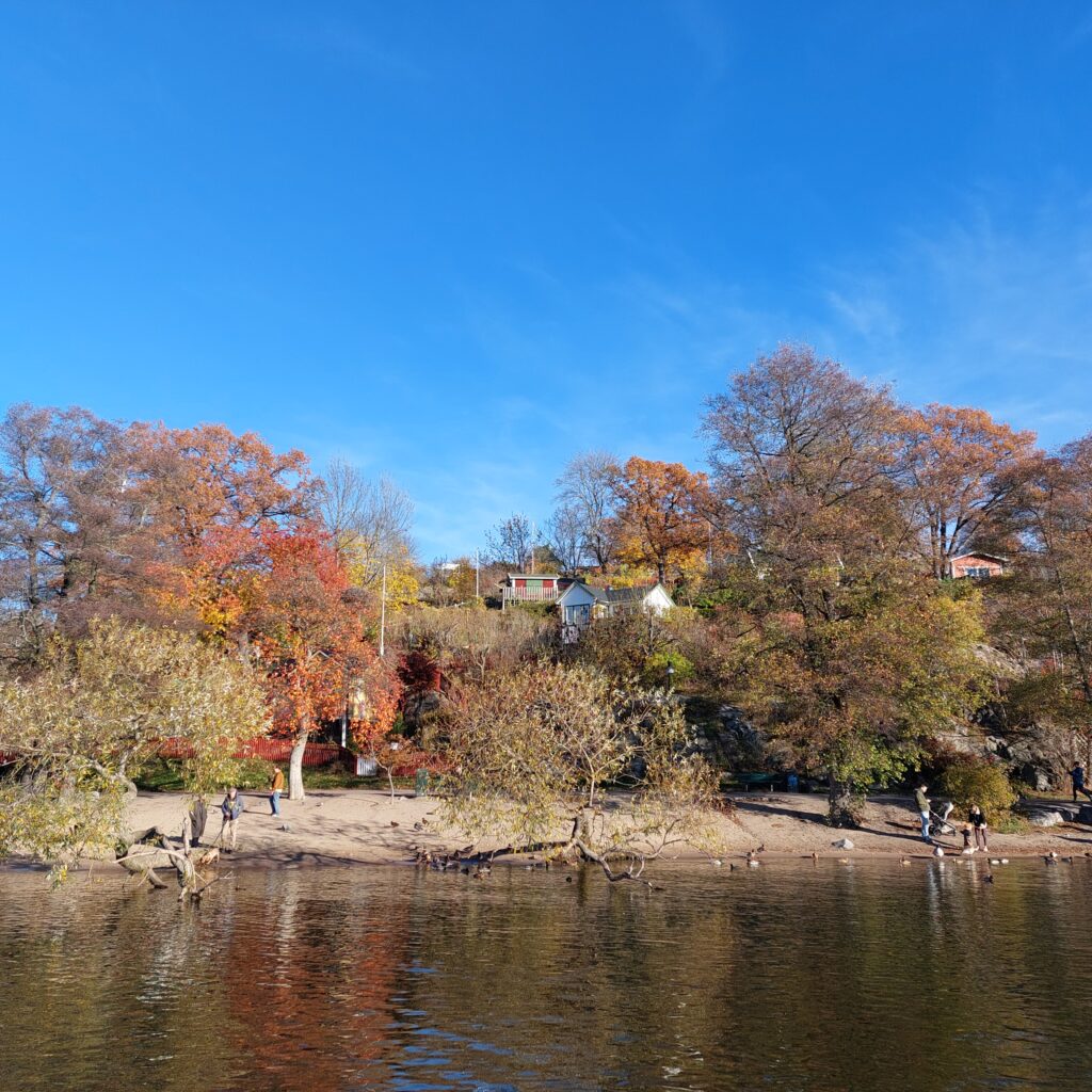
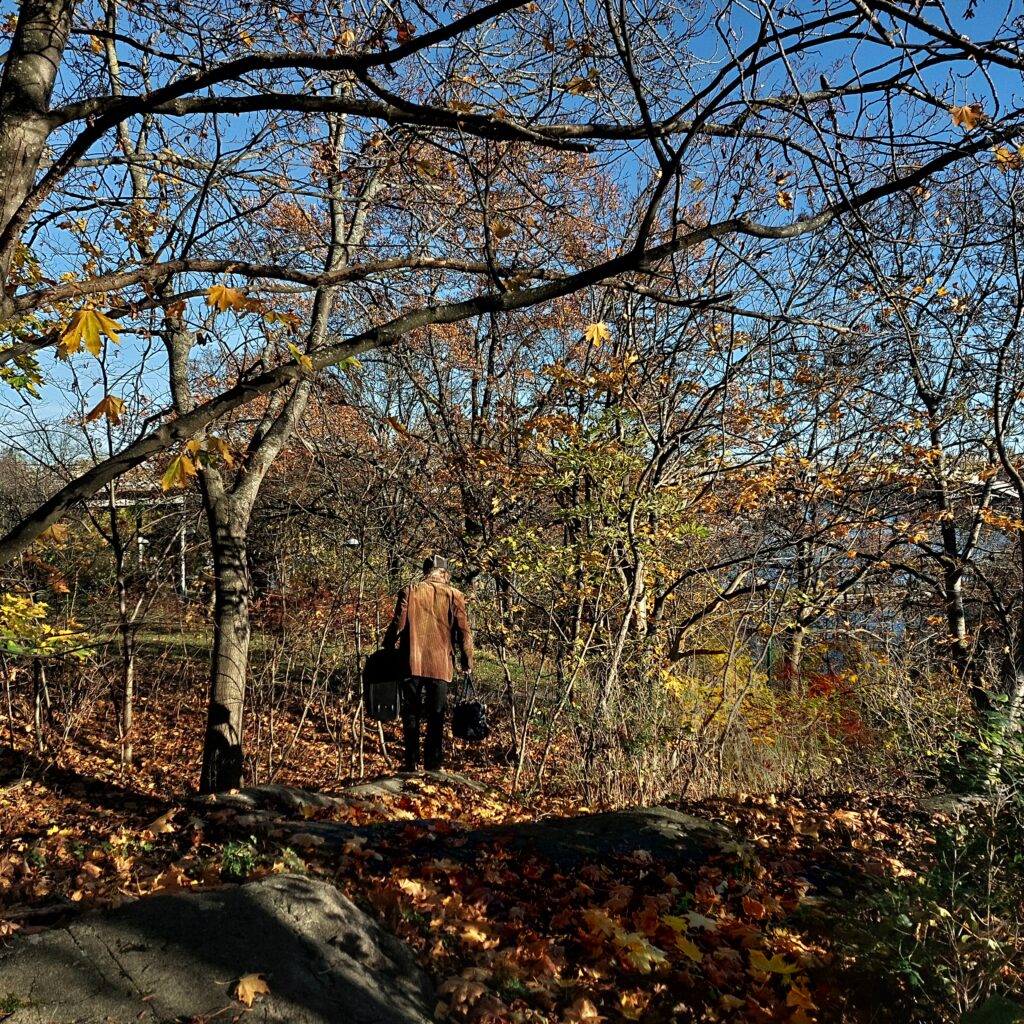
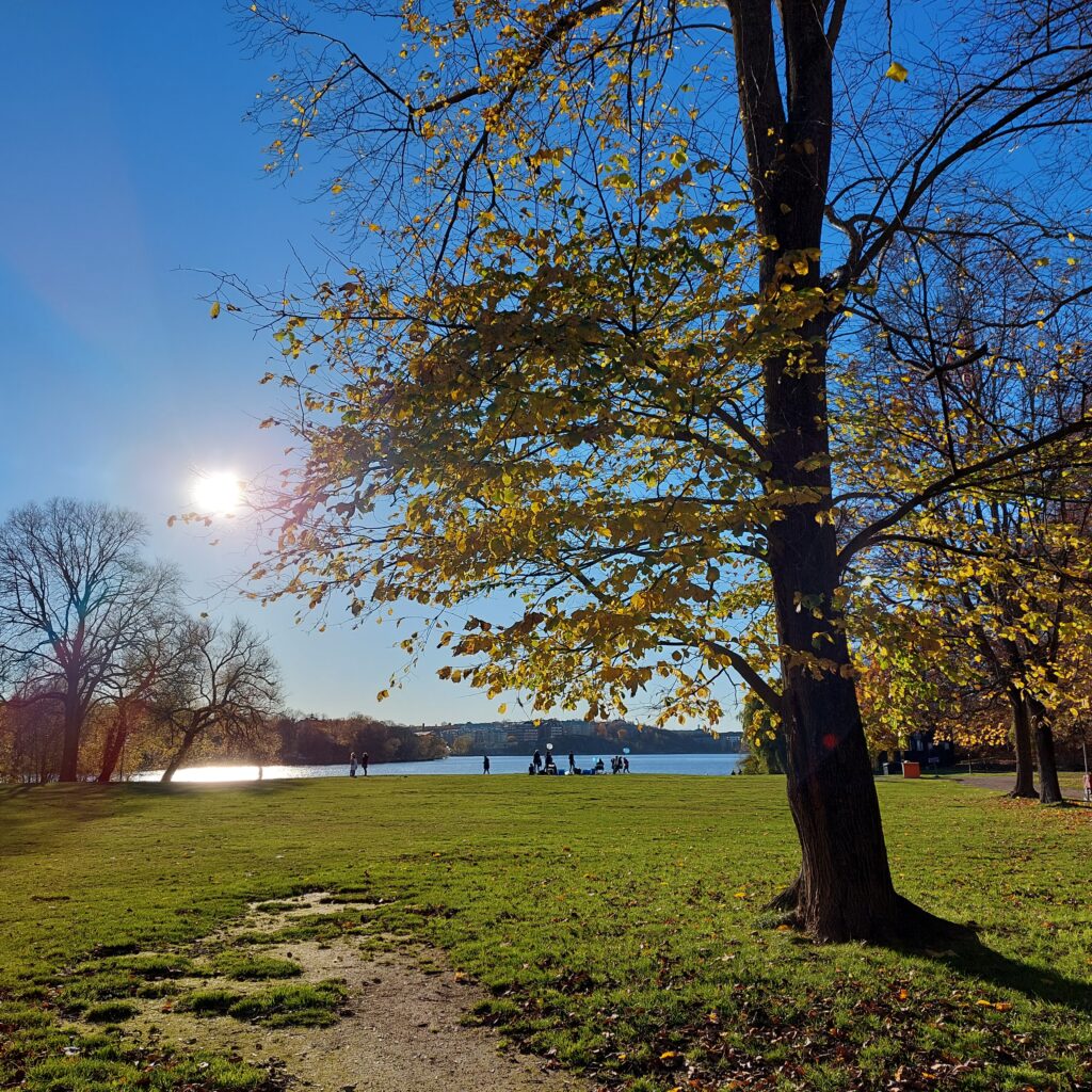
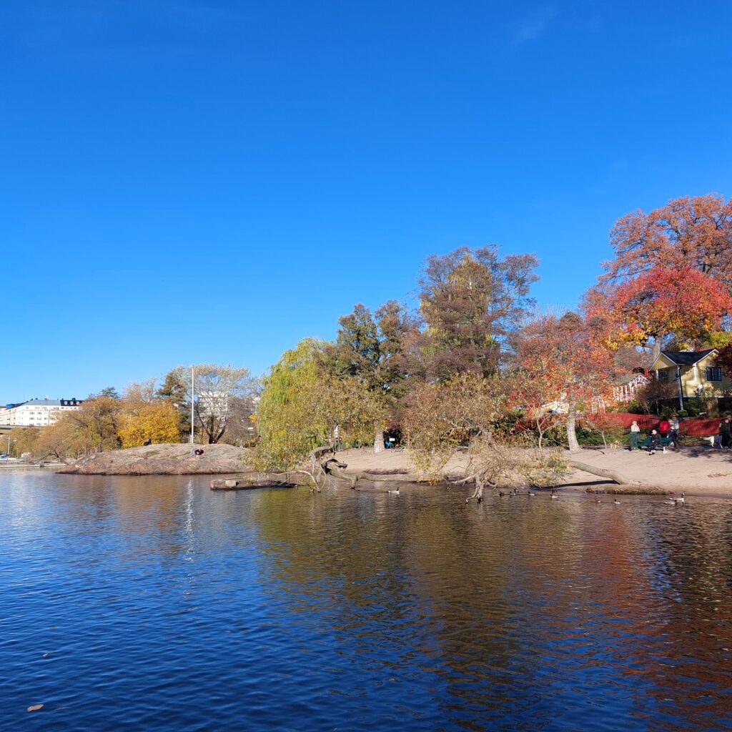
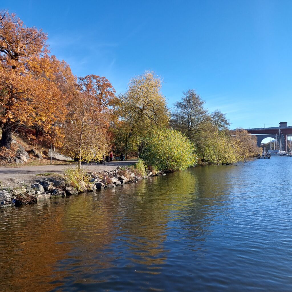
We had been recommended Tantolunden by Ulvhild, our eldest daughter. And yes, it’s nice there! Tantolunden is one of the largest park areas in Stockholm. Hans Tanto, mentioned in the census of 1676, was one of the first landowners here. Unfortunately, it was not a ‘strange old aunt (tant)’ who gave rise to the name Tantolunden. Work on the park began in 1885, initiated by Stockholm’s first city gardener, Alfred Medin. The plan for the park was inspired by Romanticism. People were supposed to stroll, wearing the finest clothes, under the most beautiful green trees. Ironically, the upper part of the park was a former waste deposit! The colonial gardens were established around the First World War, to alleviate the famine.
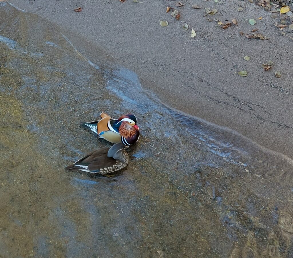
A popular activity at the beach is feeding the ducks, perhaps especially among older and younger bird lovers. But we also enjoyed it very much this Sunday in October, when we caught sight of this beautiful couple:
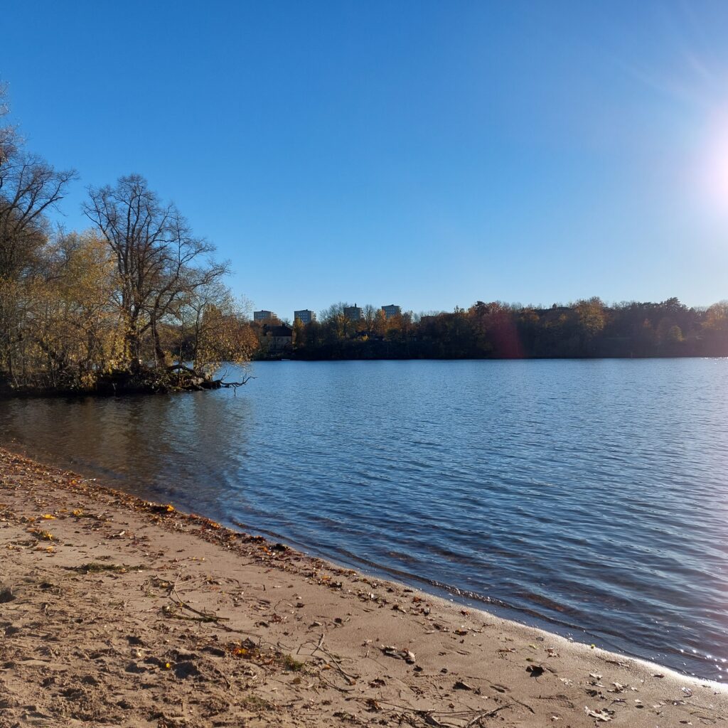
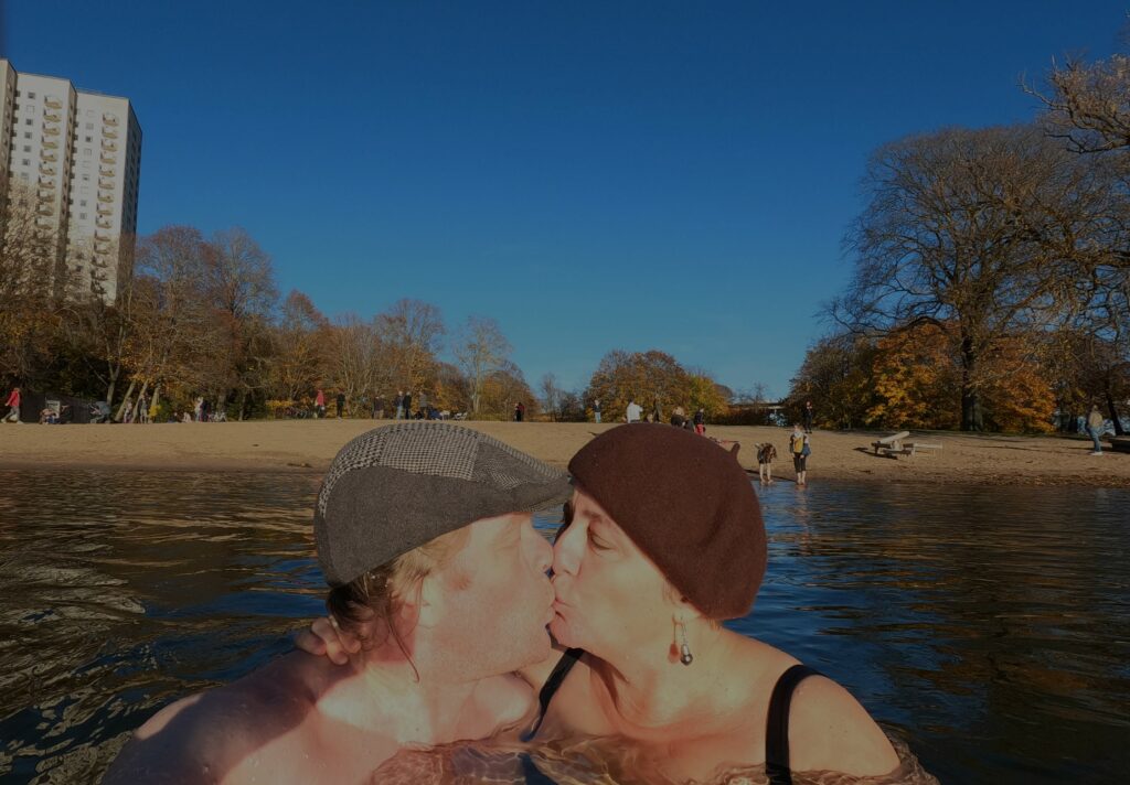
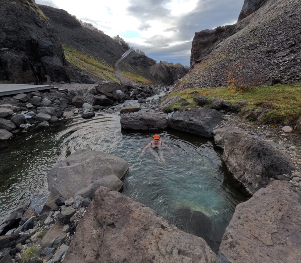
There is a sauna (badstu) at Tanto beach. We haven’t tried it! Tantobadstun was only open to members when we visited. But to the west of Tantobadstun, the floating jetties form a sheltered little bay, where it’s nice to have a bath. And – we were absolutely not the only guests out for the same business this day. Actually we were allowed to take pictures of these aunties (tantor) who bathed with hats:
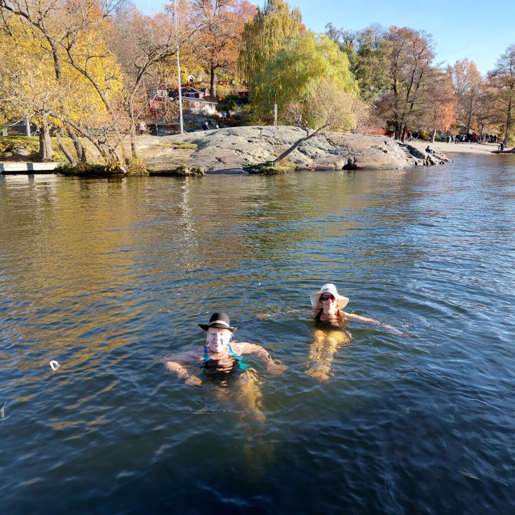
The ladies could tell that this particular day was ‘World Swim Hat Day’ at Smedsudden in Stockholm. We didn’t know that! So then we had to go there, but not before Tobatheornottobathe had tried a sunny October bath at Tantostranden.
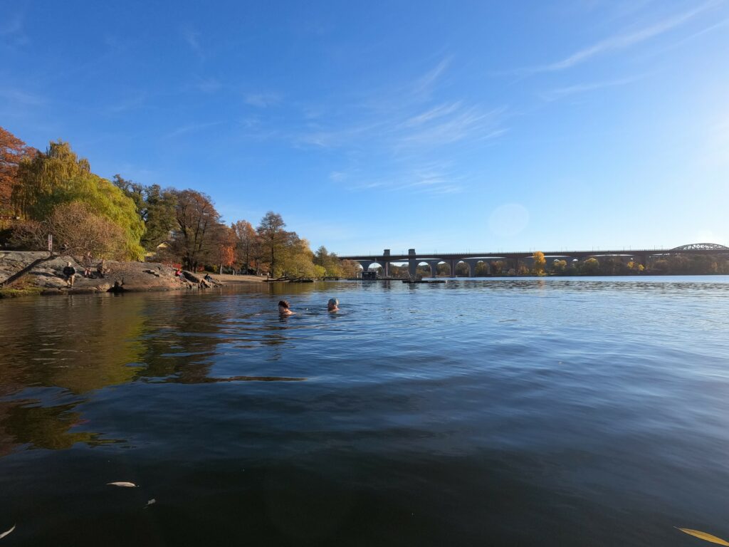
We had a very nice swim, temperature about 10 degrees. A bath at Tantolunden was just right!