Kings Bay

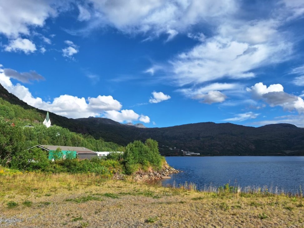
The Kings Bay (Kongsfjord) in the northwestern part of Spitsbergen is one of the most beautiful fjords in Svalbard. On the south side of the fjord you will find the researcher town Ny-Ålesund with the previous coal producing ‘Kings Bay Kull Company’, and on the north side you find ‘Ny-London’, a disused marble mining village.

Blomstrandøya. ‘Nothing less than an island made of pure marble’ (quote: Ernest Mansfield).

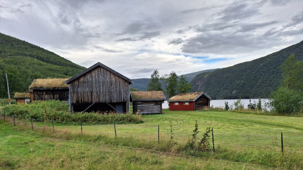
The marble deposits on Blomstrandøya were discovered in 1906. Development of the site began in 1911 and was carried out by the English company ‘Northern Exploration Company Ltd’. The head of the project was Ernest Mansfield. Of the buildings that were erected here (they were supposed to house 70 men), some have been moved to Ny-Ålesund where they are still in use. But some houses remain, partly deserted and partly in use as cabins for the researchers in Ny-Ålesund.

New London in Kongsfjorden, also called Camp Mansfield.

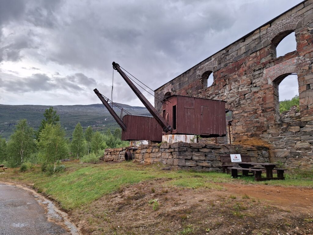
The appetite for investments in the early 20th century was sky high. The best of the technical devices of the time were installed, including railways, steam engines, marble cutting machines and cranes.

Nicely riveted processing plant from the early 20th century.
Mobile crane manufactured by Taylor & Hubbard, Leicester.

The appetite for investments was continuously increasing throughout the First World War, and the share capital rose to over a million pounds. There were many people who made good money during WWI, and they needed something to spend their money on. The adventure in New London ended in the world’s first stock market bubble, which burst in 1920. Large amounts of money had been invested – without anybody knowing what the marble was actually worth.

Yes, marble can be very valuable, as blocks. But as gravel?

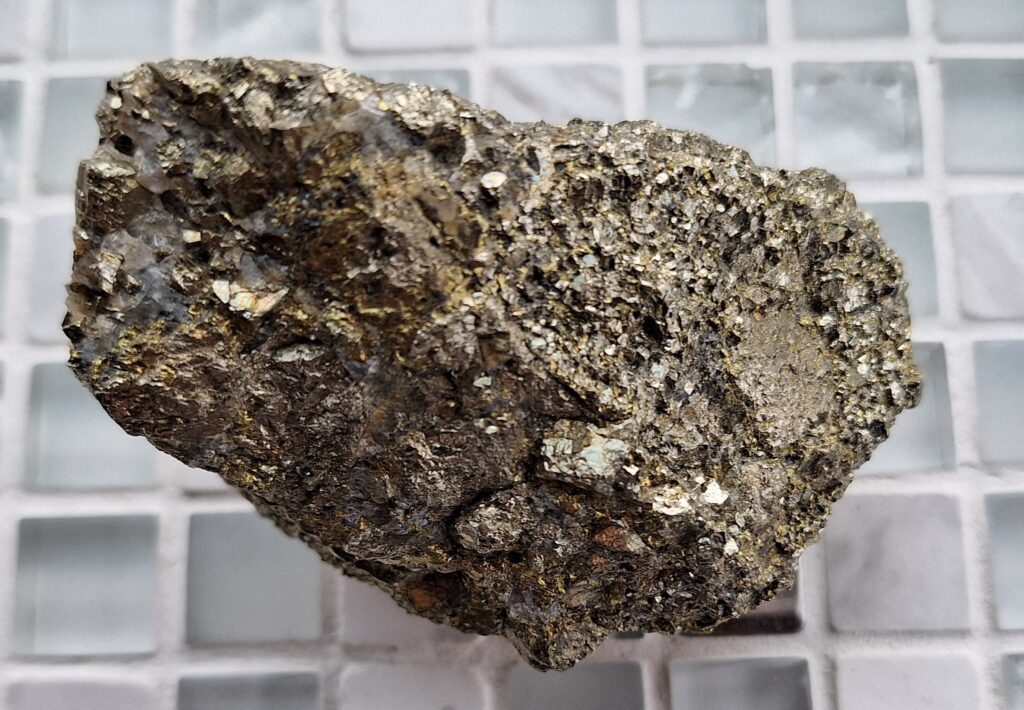
When the first small cargo of marble arrived in England, 1912, it turned out that the large, beautiful marble blocks had been transformed into marble gravel due to frost bursting. There was no value whatsoever in the marble from Kongsfjorden. However, this did not stop the investments! Expectations of quick returns overshadowed common sense. Mansfield was fired, and the growth continued. The value was NOK 18 million in 1919. The following year it was 0, and the plant was abandoned.

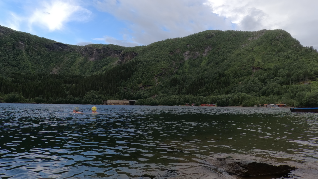
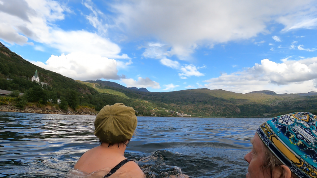
After so much history teaching, time was just right for a bath, and in New London the bathing conditions are chilly, but excellent!
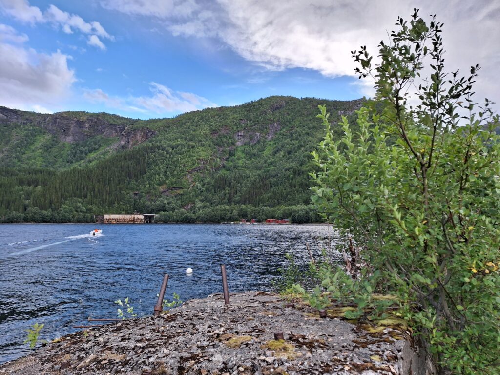
Our bathing beach east of the old unloading facility, 78°58′ north.

Here we found just the perfect type of sand, and not too shallow, either.

Nice drive south towards Ny Ålesund! Arne and Kjerstin were tobatheornottobathe standins for Knut on this trip.
If we swam far? No, we did not swim across Kongsfjorden.

Pyramid Bath

In the summer of 2017, we traveled to Svalbard. The purpose of the trip was for Knut’s mother to experience her daughter-in-law Idun’s place of upbringing.

The ‘Million City’ in Lia circa 1968. Idun grew up in house number two from the left. Photographer: Unknown.

After a few days in Longyearbyen, we booked a boat trip to the Russian ghost town of Pyramiden, which is located by Billefjorden, a fjord branch in the innermost part of the bigger Isfjorden.

The Pyramid Mountain, not at it’s most splendid.

The Pyramid City is named after the pyramid-shaped mountain of the same name. The town was founded by Sweden in 1910. Test drilling revealed coal deposits, but also difficult conditions due to faults in the bedrock. The Swedes therefore chose to concentrate on the Svea mine, and Pyramiden City was sold to the Soviet Union in 1927.

Welcome to Pyramid City.

During the Soviet era, the town was developed into a model community with most facilities: Cultural center, swimming pool, library, school, kindergarten and cinema. Pyramiden also had both barns and greenhouses. At the most, some 1,000 people lived here.

Lenin looks down the model city.

The houses in Pyramiden were built with a desire for good aesthetics. The buildings (both wooden and brick houses) have nice details both outside and inside.

The common areas were decorated.
Idun thinks that she has probably played solo accordion on a cultural exchange trip to Pyramiden around 1980. But for sure? … no.

Pyramiden was suddenly abandoned in 1998. This happened during a period of economic downturn in Russia. But it was also connected to the aftermath of the plane crash in Mount Opera near Longyearbyen in 1996, where 141 people died. Many of these were Ukrainian miners working in Pyramiden.

The seagulls have taken over Pyramiden.

Today, Pyramiden again has a permanent settlement, but the population is slightly reduced – to around 10 people. Hotel Tulipan started up in 2015, and guided tours are organized from Longyearbyen by boat in the summer and snowmobile during winter time.

And the bath? Knut grabbed the chance to do his northernmost bath to date: 78°39′ north. In order not to stress the guide unnecessarily, it was a dip in the harbour. When Pyramiden was built, a distinction was made between the technical installations and the housing. The bath in the harbor therefore did not take place in an idyllic Soviet living- and bathing area.

Cold and blurry, but certainly refreshing water!

And after the bath? Then it was just a matter of standing in line to enter the gangway.

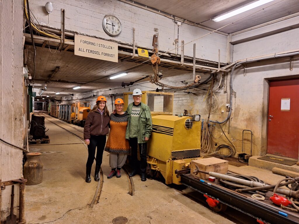
Knut in classic sightseeing outfit 78°39′ north.

The highlight of the return trip was the visit in front of the Nordenskiöld glacier, and the many beluga whales that were swimming in the foreground.

Belugas in front of the Nordenskiöld glacier.

With this sight, it doesn’t matter if the weather is foggy!

Kapp Laila

In 1999, Idun’s older sister Jorunn celebrated her birthday at Spitsbergen, where the 5 ‘Løwø Children’ grew up.

The Løwø Children anno 1970.

The first part of the program was a guided bus tour in Longyearbyen, where the guides were ‘The Løwø children’ themselves.

The Løwø Children anno 1999. Photo: Svalbardposten

The birthday dinner took place at ‘Huset’, and the following day we went to the cabin at Kapp Laila. For many years our mum Kari and dad Fridtjof had a cabin in Adventdalen (below Operafjellet), but it was inaccessible all summer because of the big rivers. In 1982, they took over a working barrack from Birger Pedersen, and this was to become the new cabin – at Kapp Laila, midway between Longyearbyen and Barentsburg. The cabin was therefore ok. But how to move it from Longyearbyen to Kapp Laila?

Cabin on the move in ‘Isfjorden’, 1982. Photographer: Unknown.

The answer was: On a raft! After all, they had a 16-foot boat called ‘Hårek’ with a 50-horsepower engine in the back. No problem, right? Extra muscle power was hired via their youngest son, Frode. However, he was tired after working double shift in mine 3, and needed rest. And he got that – on the coach in the cabin while it was on tour. The towing took 24 hours. Conveniently enough, there was a wood stove in the cabin, so they could even make coffee on the way.

Kapp Laila is accessible both summer and winter, but there is a ‘but’ during summer season. The cabin is located by a lagoon, which is so shallow that you have to plan arrival and departure times according to the tides.

The Kapp Laila lagoon at high tide. The dog club’s cabin in the background.

We stayed and celebrated our sister at Kapp Laila for a whole week, and it was splendid weather every single day. So we rigged some driftwood as benches, and barbecued by the sea every afternoon. Fabulous! The first night we were so many guests that there wasn’t room for everyone indoors (Jorunn had also rented two neighboring cabins). Idun and Knut therefore slept in tents outside, as Idun’s eldest brother Asgaut also did. ‘What about the polar bear risk?‘ Knut asked. ‘There’s no risk‘, Idun replied: ‘The Løwø family never sees any polar bear‘. And with some red wine in the body, it was easy to fall asleep in the midnight sun… and just as suddenly wake up the next morning to outside noises. Idun jumped up and picked up the rifle that was hidden under the sleeping bag. Was it actually a polar bear? The zipper in the tent was carefully pulled down, and Idun looked out: ‘What’s going on?‘ It was Asgaut who had crawled out of his tent: ‘I don’t know if I’m most afraid of polar bears or lying on top of a gun – there will be no more sleep anyway!‘ The next night we moved into ‘Bikkjebu’, the dog club’s cabin , and felt safe there.

Polar bear visit by the Kapp Laila neighbours 2021. Photographer: Svenn Are Johansen

One night after playing ‘Mattis’ (card game) for hours (in traditional student way, the looser (‘Mattis’) from the previous round had to wear a funny headgear, read: a sleeping bag cover), we found out that time was just right to swim in the lagoon. It was a wonderful midnight sun night. What could go wrong? Well, the tide could obviously be of the wrong type… This night water was definitely low, and we realized that at low tide the lagoon consisted of equal parts (15 cm / 15 cm) water and mud. We had a dip, but this bath is not really recommended by ‘Tobatheornottobathe’. But sunbathing in the midnight sun? Yes, that is something we will recommend! Doesn’t do much for the tan, though…

Midnightsunbath at Kapp Laila 1999.

And the polar bear? A bear mother with two cubs attacked the fridge (= a tub with food under the balcony at the north wall) one week later. Tobatheornottobathe had left Svalbard by then, but those relatives remaining are still talking about the incident.

Bear flap made by the polar bear itself (but not in 1999). Photo: Svenn Are Johansen

Depending on the mood, it doesn’t need a door either, the polar bear can just as well punch itself through the wall. And why does it do that? In search of food, of course. The polar bears are very fond of chocolate, but not all kinds of food are appreciated, as you can see in the next photo (also from the cabin at Kapp Laila, but not in 1999).

Uncooked rice or pasta isn’t the first choise for polar bears. Photo: Svenn Are Johansen

In 1999 the three bears broke into cabin after cabin, but were shot as they arrived Barentsburg. The Russians don’t let the bears rule their lives.

Jorunn’s birthday celebration some 20 years later. The lagoon in the back left.

Fardagafoss

In the Icelandic region of Austurland, the river Miðhúsaá flows west towards Egilsstaðir and then finally ends up in Lagarfljót. Except during the snow melting period, this is not a big river, more like a stream. But in the spring, on the other hand, it is much larger. Miðhúsaá is worth a short detour, because there you can enjoy the view of two different waterfalls: Fardagafoss and Gufufoss.

View towards Lagarfljót with Egilsstaðir on the right behind the hill.

3-400 meters uphill from the car park, the first waterfall appears, the so-called Gufufoss (the Steam Waterfall). According to tradition, a female troll lived in the cave behind Fardagafoss further up. She had a pot of gold hanging in Gufufoss, on the ledge between the two Gufufoss waterfalls. Can you see it? It’s hard to spot, and that’s why no one has ever gotten hold of it.

Pedagogic waterfall midway. But as a bathing place, Gufufoss was a little too much climbing for us this time, even though the two pools looked nice.

In ancient times, you were bound for 6 months or a year if you took work on a farm or a house as a servant. It was only allowed to leave during a period of 3-4 specific days in the spring or autumn to take a job elsewhere. These days were called ‘Fardagar’ (travel days). The spring travel days used to be around the 1st of May. Everyone who did not own land had a responsibility to have permanent work and a place to live. Vagrancy was forbidden and could be punished with fines.

In Norway, we used to have similar laws. The 14th of April was travel day, i.e. the day when you could end leases and employment agreements. The term travel day is still used in Norway when it comes to leasing land or farms. Also Scotland did indeed have the same tradition in ancient times. Can ‘làithean siubhail‘ be a tradition from the Viking era?

Well, what does this have to do with the Miðhúsaá waterfall? That’s when Fardaga waterfall is at its most splendid! In the spring, the travel days will coincide with the snow melting and extended rivers.

There is a cave behind the Fardaga waterfall.

The cave behind Fardagafoss is reasonably large, but it used to be even larger in earlier times, before the river slowly started to fill it with stones. One day a cat disappeared behind the waterfall. It was later found again in another Gufufoss, at Seyðisfjörður. The conclusion is that there is a tunnel between Fardagafoss and the other Gufufoss (these kind of stories are known from many places). The distance between them is 19 km, so it’s quite a job done by the troll (or the cat), digging that tunnel.

Knut prepares the bath in Miðhúsaá.

According to Knut, one of his Icelandic colleagues once attended a wedding seremony behind Fardagafoss. That is something! …and this way you avoid interference from the older generation. It is steep down to the waterfall, and most people over 80 would probably let it be.

And the bath? Well, we weren’t there during the Fardagar days in the spring, and the river was practically a stream. It was not possible to bathe directly below the waterfall, we had to go further down. But otherwise a nice bath.

… and the two groups of drone pilots on the hill above us were luckily so busy flying that they didn’t even notice us (there were no signs prohibiting drones at Fardagafoss, and we managed – almost – not to get annoyed)…

A bath at Fardagafoss felt just right.

Vök Bath

The meaning of the Icelandic word ‘vök‘ is ‘a place with open water in between an otherwise frozen sea or lake‘. In the old days, people used to wash their clothes in Urriðavatn (Lake Trout), because there was always open water, no matter how severe the winter was. The locals thought it was a sea monster, ‘Tuska’, that melted or broke the ice. Tusk means rag, i.e. Tuska was a Nixie with a shabby appearance. The cracks in the ice were called ‘Tuskuvakir’, and Tuska could come up there in winter. However, what kept the water open in winter turned out to be jarðhiti – ground heat. Lake Urriðavatn has its own hot spring inside itself!

Egilsstaðir on the south side and Fellabær on the north side of Lagarfljót. Behind a hill on the right of the picture lies Lake Urriða.

The very special bath called Vök is located 6 km from Egilsstaðir and was completed in 2019. Here they have built a beautiful facility based on the hot spring inside Urriðavatn. 76 degree Celsius water from the bottom of the lake is mixed with cold water from the lake to just the right temperature. On shore, there are changing rooms, hot and cold (!) steam baths, two larger pools with warm water and a submerged bar by the pool.

10 degrees Celsius in Urriðavatn and 40 degrees in the floating pool.

Two hexagonal pools of warm water float (!) in the cold water. The floating pools are made by the Finnish company ‘Bluet Floating Solutions’. If you want, you can enter the lake for a cold scalding, as there are ladders leading to the lake. Hot and cold alternately – that’s the very best. Try it!

Vök bath – it’s wonderful!

We have visited Vök several times, including Easter 2021 – in the middle of the corona. All public baths in Iceland were closed and we really wondered what to do. How could we perform the daily bath when everything was either closed or frozen? It turned out to become a secret bath of the cold type. In Urriðavatn, it’s easy to swim even in the middle of winter – as there is always open water in between the ice! We changed onshore, jumped in for a dip and then returned to the car. As we were leaving the parking lot, a car drove in to check on unauthorized guests. Good then, that we just had a short bath next to the pools and didn’t try to get in for a longer session!

A bath in secret outside Vök, Easter 2021.

Stuðlagil

Egilsstaðir, with almost 3,000 inhabitants, is a natural starting point for several spectacular hiking and swimming experiences in the north-east of Iceland.

Mandatory ‘Gríma’ (face mask) in Egilsstaðir 2021.

One of the biggest ‘wow factors’ you can get is Stuðlagil. You drive through a long, gravelly valley, Jökulsdalur. This is a wasteland with a few farms and some sheep.

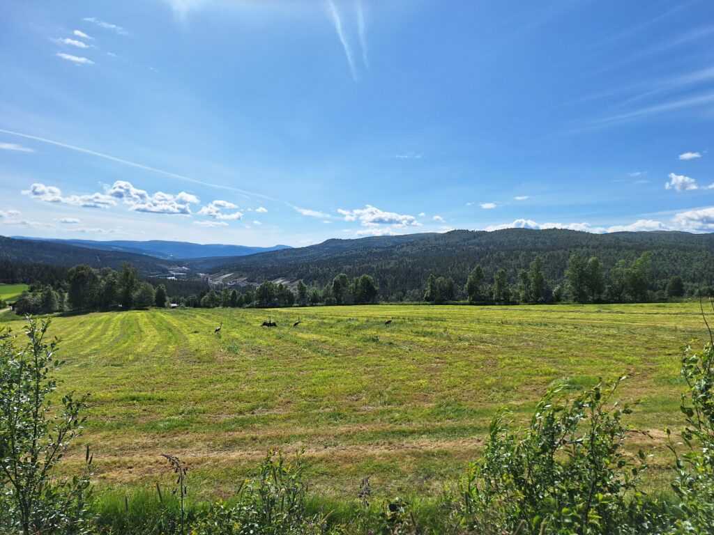
Some of the few inhabitants of Jökulsdalur.

It takes an hour to walk up to the gorge, a nice hike with a pedagocically well placed waterfall, Stuðlafoss, to enjoy about mid-way. Well, that’s if you keep to the east side of the river.

Pedagogical placed waterfall half way.

Alternatively, you can drive up to a stair access (239 steps) on the west side of Jökulsá, but we would not recommend that if you are fit enough for the east side, because:

  • From the vantage point on the west side, you cannot see the most beautiful basalt columns.
  • You can’t go down to the water.
Panorama view towards the panorama platform on the west side.

After the waterfall, basalt columns begin to appear by Jökulsá. The river is (large parts of the year) bright green! Here we are talking about glacial rivers with lots of particles in the water. The basalt columns are first brown, gradually gray. Most of them stand vertically, but in some places a bunch of them are twisted around and you can see the cross section of them instead.

Basalt columns in all directions.

Stuðlagil is one of the newest tourist attractions in Iceland. The gorge came to light when the water level in the river Jökulsá á Brú was lowered following the very controversial construction of the Kárahnjúkavirkjun hydroelectric plant in 2009. The plant was supposed to ensure power supply to the aluminum plant in Reyðarfjörður.

What you don’t see from the west side of the river: Nature’s cathedral.

Stuðlagil itself is like a cathedral with tall, beautiful columns. A wonder of Mother Nature! If you are careful, you can climb down to the river bank and sit on the basalt columns and just enjoy. We didn’t dare to do this on our first visit, it was in March; snow and ice everywhere. The second visit, however!

Stuðlagil.

Stuðlagil is an absolutely magical place. However, be aware that the water level may rise if they let more water through from the power plant further up the valley. Because of this – and strong currents – we do not recommend swimming in Stuðlagil!

Bathing in Stuðlagil is generally not recommended…

We (as you might have guessed) couldn’t resist in the long run. But we think we did a thorough risk assessment, had secured ourselves with a tow rope and only swam in a backwater without current. But this is not the place to try ice bathing for the first time!

After the ravine visit, a bath is just right. At Egilsstaðir there are two obvious options for open-air swimming: the river Lagarfljót and Urriðavatn lake. Lagarfljót basically looked a bit dirty and unappealing. The sad white-grey color comes from the particles in the water. Urriðavatn, on the other hand, is fresh and blue and cold – except it’s hot spring interior. But that’s another story – Vök Bad.

Of lengi í örbirgð stóð
einangruð, stjórnlaus þjóð,
kúguð og köld.
Einokun opni hramm.
Iðnaður, verslun fram!
Fram! Temdu fossins gamm,
framfara öld.
(E. Benediktsson, made for the opening of the power plant)

Too long left in destitution,
isolated, stubborn nation,
downthrodden, cold.
Monopoly opens the door,
Industry, save the poor!
Forward! Waterfall pour,
till time grows old!”
(E. Benediktsson, translated by Tobatheornottobathe, with some help from Google Translate)

Avalanche

Despite all the other things Iceland has to deal with in form of geysirs, earthquakes, volcanic eruptions and bad weather, it is avalanches that take the most lives. The first record of an avalanche is from the year 1118! In the ‘Sturlunga Saga’, it is mentioned that five people died in an avalanche, and thereafter more than 680 lives have been lost.

From ‘Torgils and Havlide’s saga’ (a part of ‘Sturlunga Saga’):

Måg-Snorre was a wealthy man, who had a house in Svinadal, at the place which is now called Snorrastad; he drowned in Sælingsdalså, at the place now called Snorravad. His brother-in-law Sighvat Ulvsson went out with four other men to search for the body, but they were buried under an avalanche and all perished.‘ (References)

‘Here one can safely say that ‘misfortunes never come singly‘.

Avalanche protections (up to the left of the city) at Siglufjörður, Norðausturland.

There has been a major investment in avalanche protection the recent years, and many settlements are secured with ‘fences’ high up in the mountainside. Other places, moraine-like ramparts have been built to lead the avalanches away from the city. One of the biggest avalanche accidents in recent times occurred in Neskaupstaður the December 20th 1974, when 12 people died. On this day there were actually 8 avalanches here, two of them fatal. In addition, there were 13 people that were swept away by the slides, who survived after all. This was a terrible blow to the small settlement.

Beautiful mountains at Neskaupstaður.

Neskaupstaður has approximately 1,500 inhabitants. The village runs along the fjord, actually it covers a length of 6 km in a width of only approximately 100 meters. What else is there to say about Neskaupstaður? Impressively, they have their own heavy metal festival, ‘Eistnaflug’ (in July). And one nearly extinct species of lichen: ‘Seltulauf’.

Peaceful easter atmosphere in Neskaupstaður.

We were in Neskaupstaður at Easter 2021, but we didn’t see a trace of neither lichen nor heavy rockers. It was winter, there was snow, there was a full moon and it was beautiful still weather. No avalanches in sight. It was just peaceful and wonderful, and we had a cold, but meditative bath below the road ‘Hafnarbraut’. Meditative because, when you step into freezing water, nothing else matters. It’s just you and the water and Mother Nature (and maybe a fellow bather). All worries disappear in seconds. Marvelous!

An Easter bath in Neskaupstaður is just right. Right?

Jökulsárlón

One of the most stunning tourist attractions in Iceland is Jökulsárlón glacier lagoon. The lake is situated – and made by – the glacier Breiðamerkurjökull, a branch from the enormous Vatnajökull. If you can imagine a threshold fjord that never reached the sea, then you have the concept. Jökulsárlón is Iceland’s deepest lake (300 m), and it covers an area of 25 km2. The glaciers in Iceland are in rapid decline, including Vatnajökull. As the glaciers retreat, a lake may form where the glacier has dug deep – before the end moraine. When icebergs break off the glacier to a glacier lagoon, the icebergs become trapped in the lake. This is a beautiful sight.

Jökulsárlón

Jökulsárlón is a young lake, formed after the glacier Breiðamerkurjökul began to retreat after 1933. The depth comes from the erosion by the glacier during the ‘Little Ice Age’, which had it’s maximum around 1740. The unique thing about Jökulsárlón is that it is connected to the sea via a river/channel (Jökulsá á Breiðamerkursandi), which is deep enough for the water to go both out and in. Seawater enters the lake when it flows, and out again together with melt water when approaching low tide. In this seawater seals are swimming, which give birth to their cubs here. The seals experience visitors every day, and you can see them quite close, they are both charming and curious. Do not go close to the cubs, they are used to lying alone while mother is searching for food.

Icebergs and seals in Jökulsárlón.

At Jökulsárlón, a bath is NOT right. There are danger signs all over the place and they have some good points there.

This bath is a ‘not‘.

One is the danger of being caught by the current. Since the water goes both out and in, the current can be treacherous, that’s probably right. The other issue is the icebergs. The relatively warm sea water makes the ice melt faster under water than above. Only 10% of icebergs stick up in the air, and you can’t tell when they have melted so much below water that they might capsize. This is very dangerous, don’t even consider swimming out to climb icebergs! It is perfectly fine, in fact absolutely wonderful, just to stand on the beach and enjoy the sight of icebergs, seals and water!

Just looking, certainly not bathing…

But then there were these urges and dreams. And the defiance. And ‘we are so careful‘. And the problem with always following the rules. And… well, you know what happened, right? We drove over the bridge to the other side of the lake. There we found no seals, (almost) no people, (almost) no current, (almost) no icebergs and (almost) no prohibition signs. There it’s (almost) right with a bath.

Ok, it wasn’t a ‘not‘ after all…

A bath in Jökulsárlón is (almost) right.

A refreshing bath in Jökulsárlón.

But then came these urges and dreams again. This bath was so far away from the icebergs that there was almost no point. And how forbidden is it really to swim in Jökulsárlón? After following countless discussions around the great Internet, we have come to the (possibly wrong) conclusion that there is no legal background to initiate processes against those who break the swimming prohibitions announced with signs à la those we find at Jökulsárlón. So they are not legally binding prohibitions, only warnings. Drone bans, however, are legally based and also strictly followed up with fines. Be as it may, we decided to try a bath again the following year. This time while raining cats and dogs.

Humid bathing weather at Jökulsárlón.

The advantage of rainy weather is that there will be no visitors, you might think. But at Jökulsárlón there are always people! We went back and forth a bit. Should … shouldn’t. There was also quite a bit of wind and a rather harsh bathing weather. Suddenly a boat came, it was going to cruise around with tourists. We changed our minds – almost – but decided to give it a try anyway as the boat quickly turned around. It was great! The rain stopped just before we finished changing clothes. Most of the tourists around us disappeared and we had our swim in Jökulsárlón. Without bothering anyone. No seals were disturbed, no guards came running with prohibition signs. We didn’t go further out than we could stand, no big icebergs nearby and there is no stream in this part of the bay. A great bath, slightly cold, but not dangerous, as we see it!

Good mood!

Swimming in Jökulsárlón was a “just right” – for us. But of course, we would NEVER have recommended it to anyone!

Skjækerfossen

Verdalselva is quiet and calm and got its name from that fact. But you don’t have to go very much further up the valley before there are bigger heights and waterfalls. We wanted more fun, and drove up Helgådalen (the Holy River Valley) in search of a suitable waterfall or two. Then suddenly we saw this:

The river Ulvilla is a tributary to Helgåa river.

… and that took us back to the heavy duty parties at the Trøndelag countryside in the 80’s, when the song ‘Ulvillavisa‘ was often in the repertoire: ‘Får æ’tj ei pøls, så hoppe æ i ælva, i Ølvilla.‘ (“If I don’t get a sausage, I’ll jump into the river, into Ulvilla!”) Funny! Maybe we could even bathe in Ulvilla, as the song suggests?

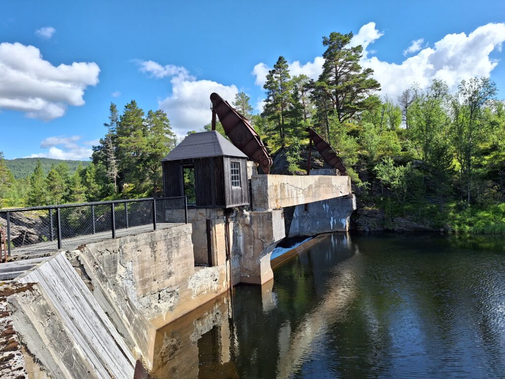
Ulvilla power plant. Constructed back in the days (1917), when the power plants were as beautiful as any church.

It remained a thought. The lower part of Ulvilla was just not very tempting, so we dropped the bath. But not without protests.

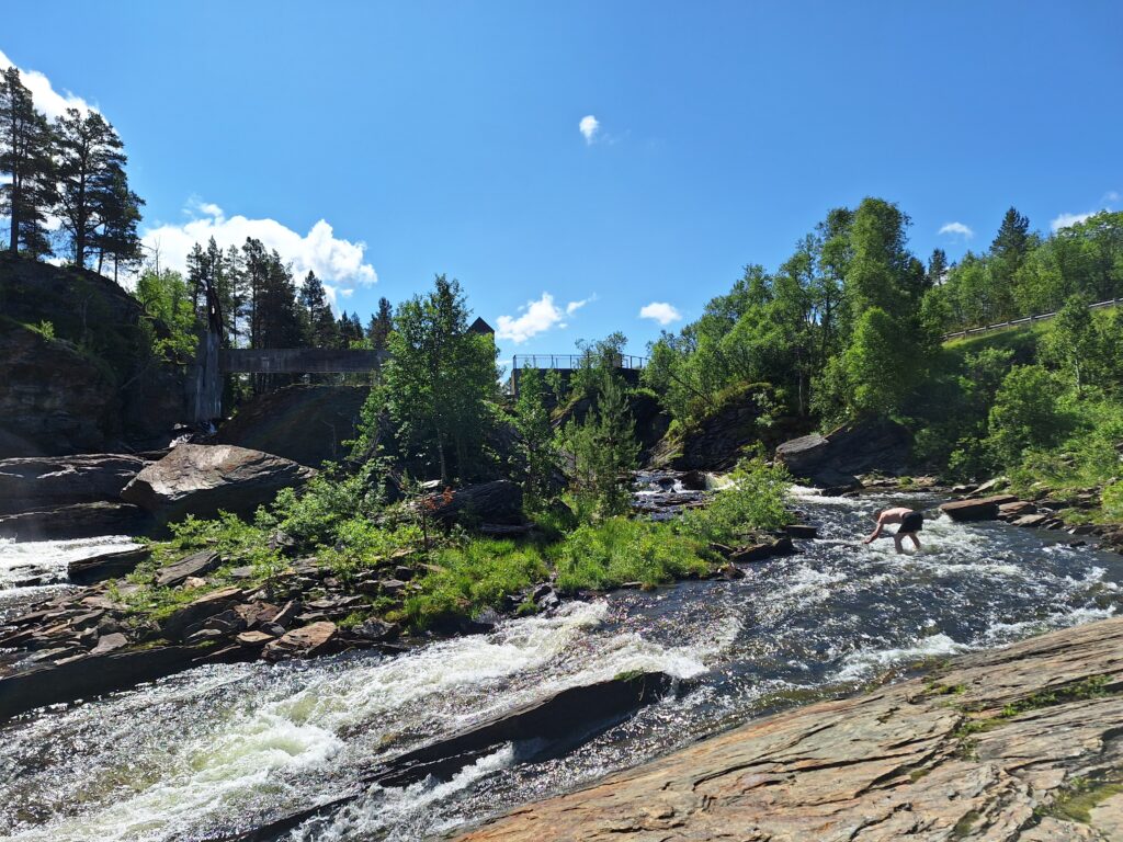
Knut would – almost – like to jump in.

And it’s certainly not a crisis if you skip a bathing place or two in Verdalen. There are plenty to choose from, not least a large number of waterfalls in the rivers Inna, Helgåa and Skjævra. Our next attempt was Granfossen in Helgåa, but it was a bit difficult to access the waterfall with the footwear we had, so we went on to Skjækerfossen.

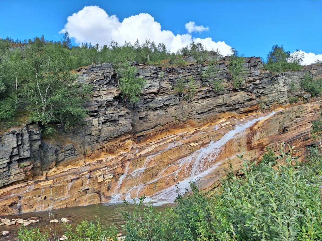
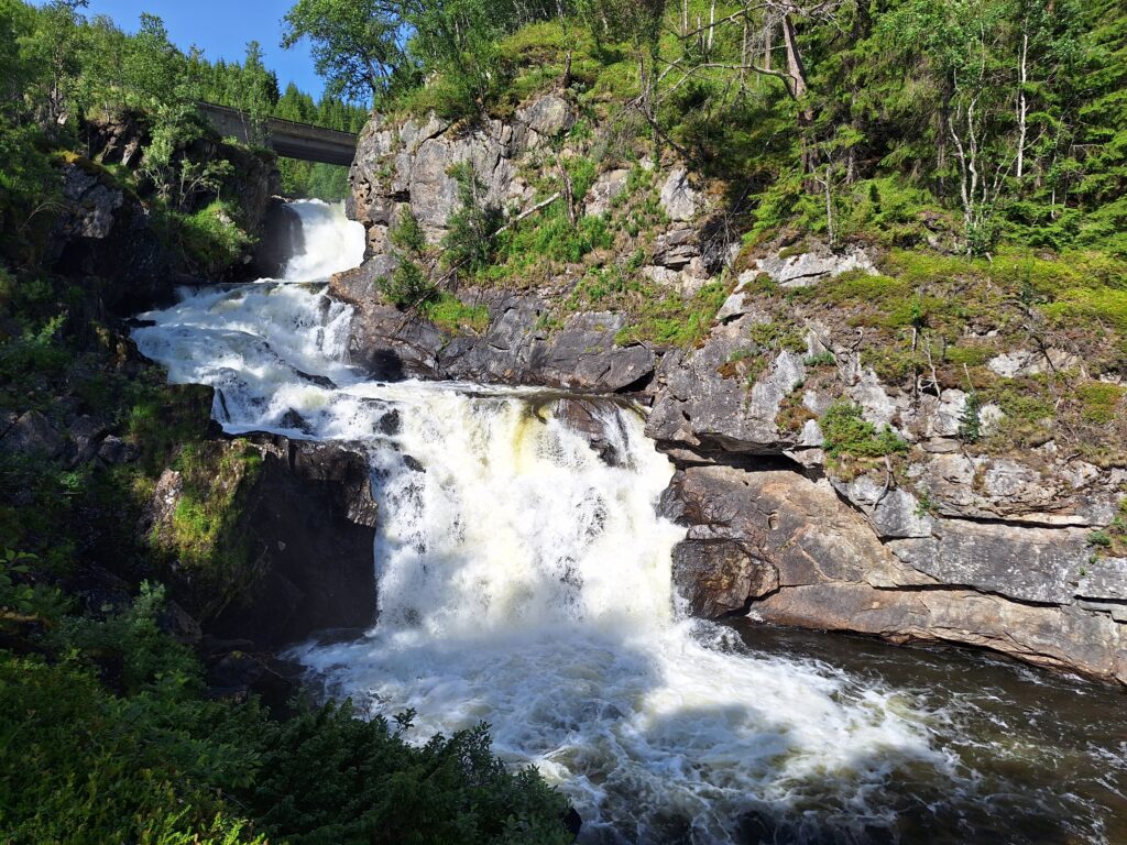
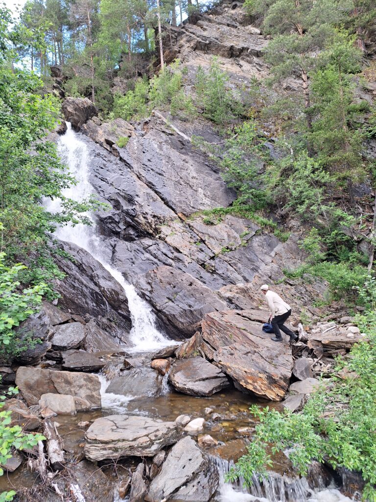
Skjækerfossen.

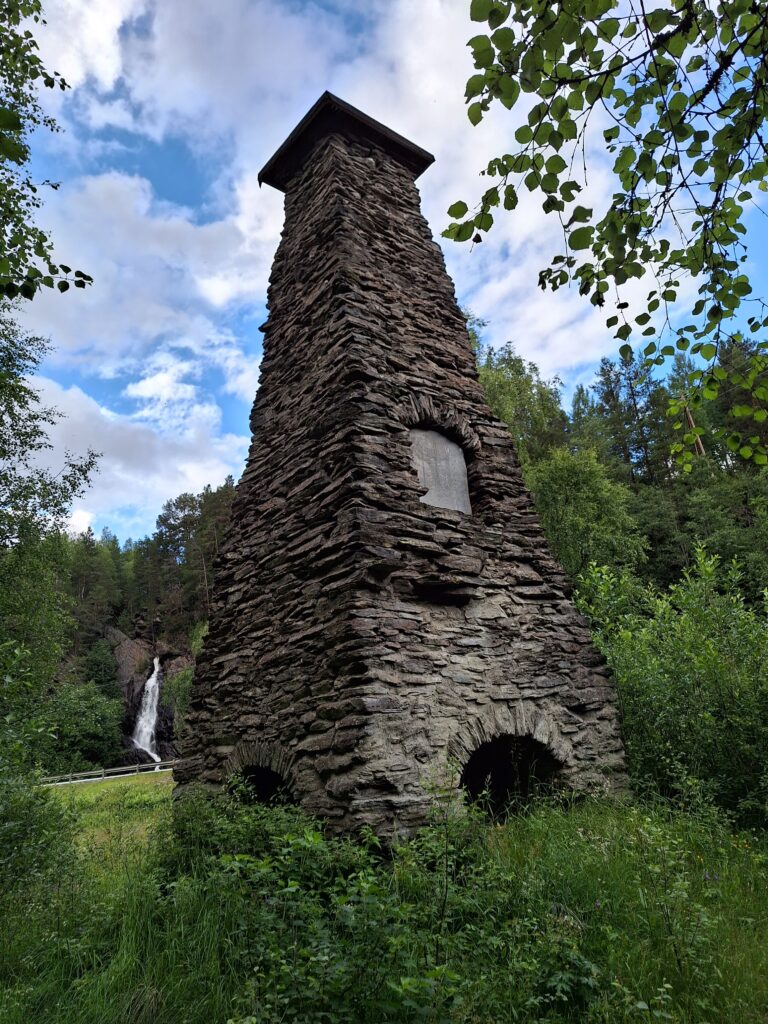
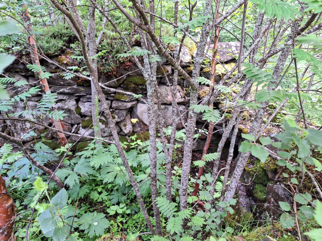
What a place! The waterfall is 22.5 m high, wide and beautiful. And this is historical ground. There used to be furnaces for nickel ore from the Dyråa mines in Skjækerdalen: ‘Værdalens Nikkel og Kobberværk’. The ore was transported to Skjækerfossen by horse in winter, since Dyråa river doesn’t have enough slope to run the smelter cabin’s bellows. The sulfur was removed by burning charcoal, resulting in emissions causing forest death in a 50 m wide area every year. Dead trees were cut to firewood for the smelting process. The nickel was transported by horse carriages to the fjord (at Skånes), a transport that was more expensive than the Skånes-England transport, and therefore greatly contributed to the Verdal nickel industry lasting only 10 years.

Skjækerfossen anno 1917. To the right you can see remains after a mill, sawmill and a smelting furnace. Photo: Gunnar Holmsen/Verdalsbilder.no

There is also a memorial by the waterfall, honoring the border refugee guides, who saved many lives during WWII. It is estimated that 7-800 people fled to Sweden through Helgådalen during the 5 years of war. None of these routes were ever revealed. The stone was unveiled in 2006.

The border refugee guide memorial.

A tent camp was set up at Skjækerfossen in the spring of 1945, as they were looking for 25 members of the Rinnan gang, who tried to flee to Sweden after the peace treaty. Magne Solheim from Målselv arrested Henry Oliver Rinnan at Flyvollen farm on the 14/5-1945. Rinnan was convicted and executed by a firing squad at the Festningen Fortress in Trondheim 1/2-47. Rinnan assisted in the torture of at least 1,000 people, the murder of more than 80, and he was convicted of murdering 13 people.

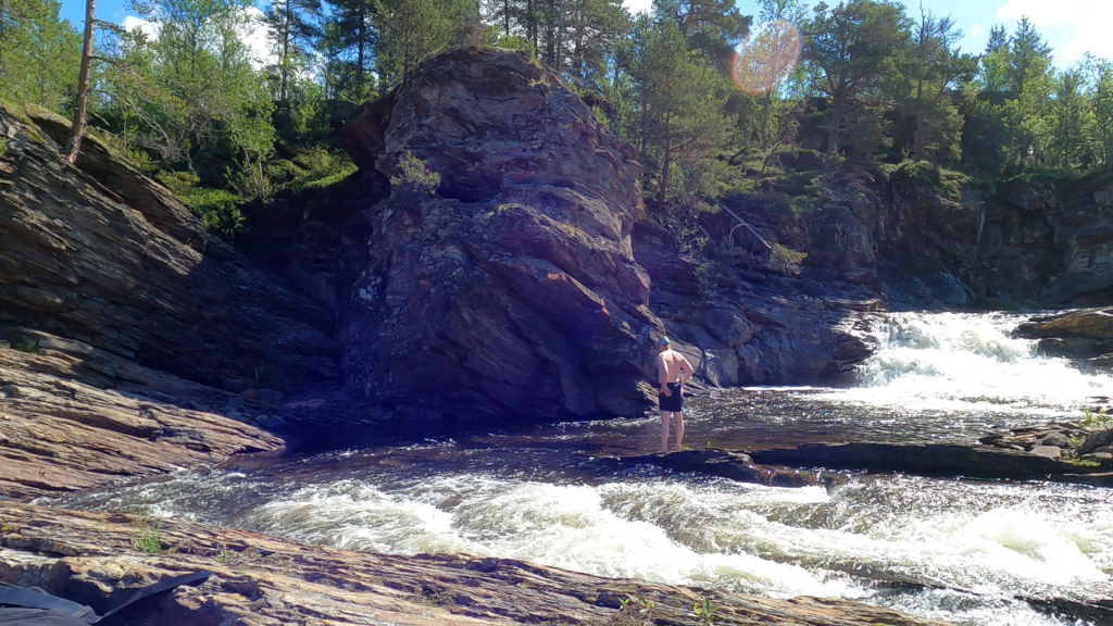
There was a bit of climbing to Skjækerfossen.

However, we didn’t need a tent – to get a bath. On the other hand, there was a bit of climbing in rough terrain, and as usual we laughed at the idiocy of carrying swimwear in bags instead of backpacks.

Skjækerfossen was wearing winter clothes in the form of an ice curtain.

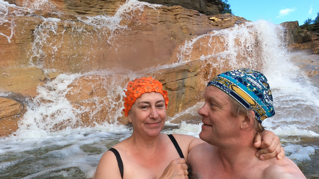
But swimming in Skjækerfossen? No, it was too scary for Idun. The waterfall is deep, and Idun was afraid she wouldn’t be able to drag herself back onto the ice. It was therefore only Knut who bathed.

Getting up was a little cumbersome.

… with subsequent intense discussions about how to solve this problem. What we needed was a ladder, but it is not particularly practical to bring a ladder into the car. The solution: Laider, of course. And we actually had one at home, in Trondheim, which the children got from grandpa and once used in a tree in the garden.

Ready for Skjækerfossen 2.0.

It was great! An absolutely splendid bath. No dangerous incidents of the type of ice falling down (we didn’t swim tight up to the waterfall).

The second Skjækerfoss bath.

However, the ice is sharp, so a little blood on the knees must be expected. Otherwise, like the Icelanders, we say: ‘Everything was just fine!

A somewhat bloody affair.

It is quite fabulous to have a bath in Skjækerfossen. Also mid-winter! But of course; the water flow is most likely more impressive in spring and summer.

Verdal

North in Trøndelag, shaped like a triangle, between the inner Trondheimsfjord and the Swedish border, is Verdal municipality located. Here, ‘the border between municipalities’ was set a very long time ago, and there have been only 3 changes in historical time (!). The first change occurred when the border river against Levanger (Rinnelva) changed its way, while the second occurred shortly after The Black Death, when the farms at Leksdalsvannet were abandoned. The third boundary change came in 1917, when a new school was needed in Feren, Meråker municipality. And, actually, Verdal did get away with no changes in the much debated municipal reform in 2020.

Verdal has 15,000 inhabitants, of which more than half live in the administrative center Verdalsøra. Humans have lived here for a long time! There are a number of ancient monuments in the municipality, especially many burial mounds, but otherwise Verdal is perhaps best known for the site Stiklestad Battlefield (called “Stekstad” by the locals).

Viking helmet at Verdalsøra.

15 km upwards from the fjord, the two rivers Helgåa and Inna run together to form Verdalselva. The name comes from the old word ‘Ver’, which means quiet, calm. This sounded perfect for a swimming adventure. We wanted to swim there!

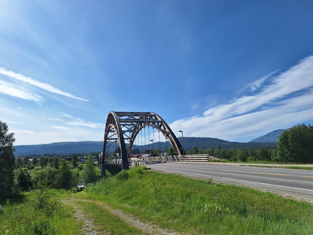
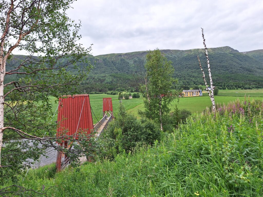
The Old Bridge. Verdalselva is beautiful, quiet and calm.

But this January evening was very dark. We became aware that ‘how to climb into the river’ was not very clear. And Knut had that bad prolapse back. Actually, this bath turned into a ‘not’.

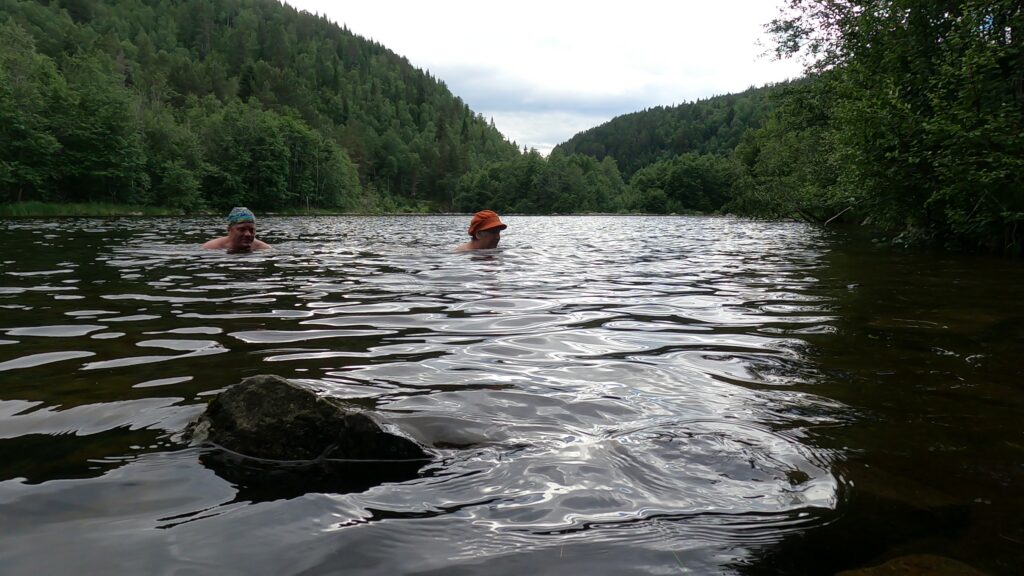
… at first attempt, that is. The next day, in daylight, we went a little further upstream. And just downstream ‘Nybrua’ (the New Bridge), we found Bjarnebukta (Bjarne Bay). This seemed to be a great place to swim!

Bjarne Bay at low tide.

The water was still and beautiful. And the ducks swam to meet us. Bjarne, however, we didn’t see. Is it Bjarne who owns the place? Or has there been a bear (“Bjørn” in Norwegian) here a long, long time ago? Please notify us if you know!

The equipment for ‘Øras dager’ is ready by Nybrua (the New Bridge).

Well… The bath itself was nice, but the swimwear didn’t quite have any deliciuos scent afterwards. Perhaps Verdalselva will not be our favorite bathing place after all? It seems that Verdal municipality never takes any quality check of bathing spots. So bathing is at your own risk.

It was almost right to swim in Bjarnebukta January 2023.

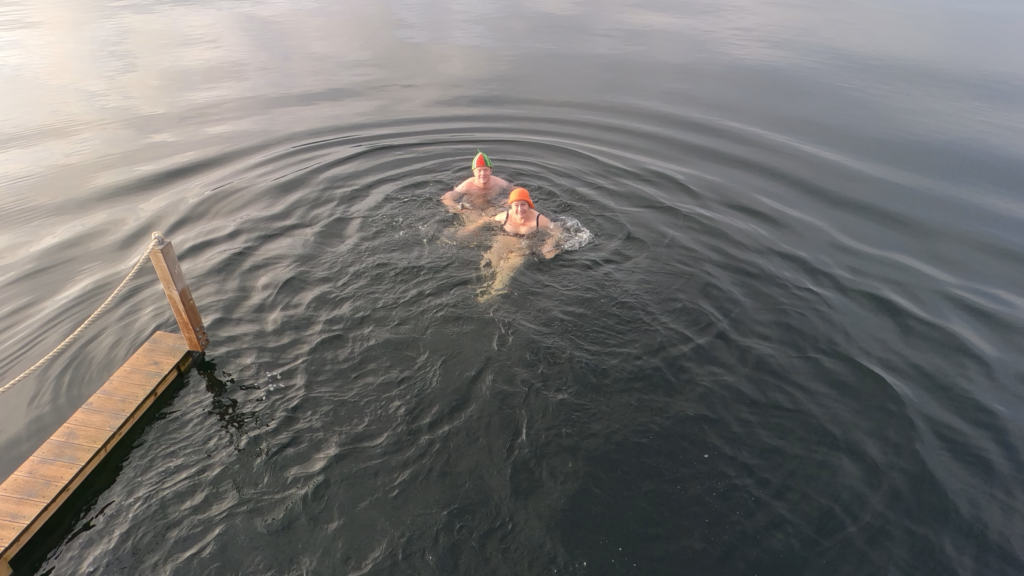
After a bath in Verdal, it is a good idea to go to the theatre. Verdal Teaterlag is a very active institution, while we are optimistic and chose the musical ‘Otpimist’ with music by Jahn Teigen.