We tried to escape the rain in Trondheim this Sunday in October. And by going to Ørlandet we did – almost. Ørland municipality is a short boat ride from Trondheim – just north of the mouth of the Trondheimsfjord. Bjugn and Ørland were merged in 2020 and the municipal center is divided between the Bjugn village and the town of Brekstad. The population is just over 10,000 – the fluctuations follow the activity at Ørland airport. From Brekstad you can take a ferry to the south side of the Trondheimsfjord (Agdenes).
The name Ørland comes from Norse ‘yrjar’ = gravel. The municipality consists of a peninsula with large gravel plains and otherwise a slightly hilly landscape with many islands, islets and skerries. Most of the Ørlandet peninsula is lowland, and will struggle hard if/when the sea rises. It is windy here! So much so that the ‘Ørlanders‘ are often referred to as leaning forward – it takes a lot to stand up against the wind.
On our way through the city center, we came across ‘Meieriparken‘ = the dairy playground. There is a lot of funny stuff in the old dairy, including this challenge: How to get through the barn without stepping on the floor?
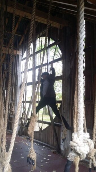
Knut couldn’t resist and had to try. Here he is swinging, elegant as always. Idun had a sore back at the time, and didn’t join the game.
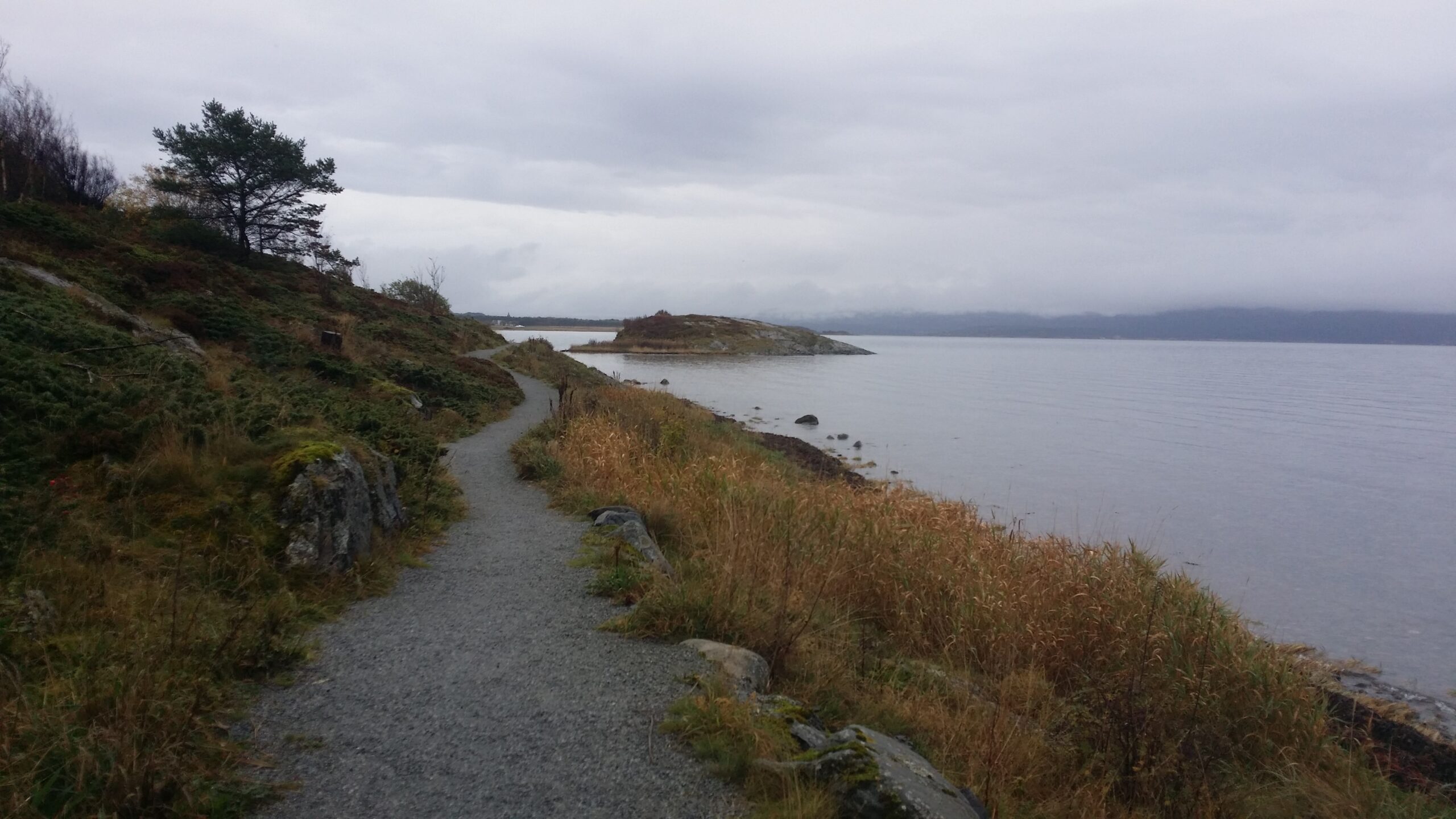
Following a tip from Idun’s colleague Anita, we brought bicycles on the express boat. From Brekstad city center, there is a great bike path northeast towards Austrått. Try it!
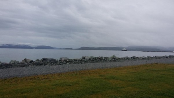
One kilometer from Brekstad harbor lies Bruholmen (the Bridge islet). It floats freely at high tide, but is landlocked at low tide (is it called Bruholmen because there is a “bridge” out there at low tide?):
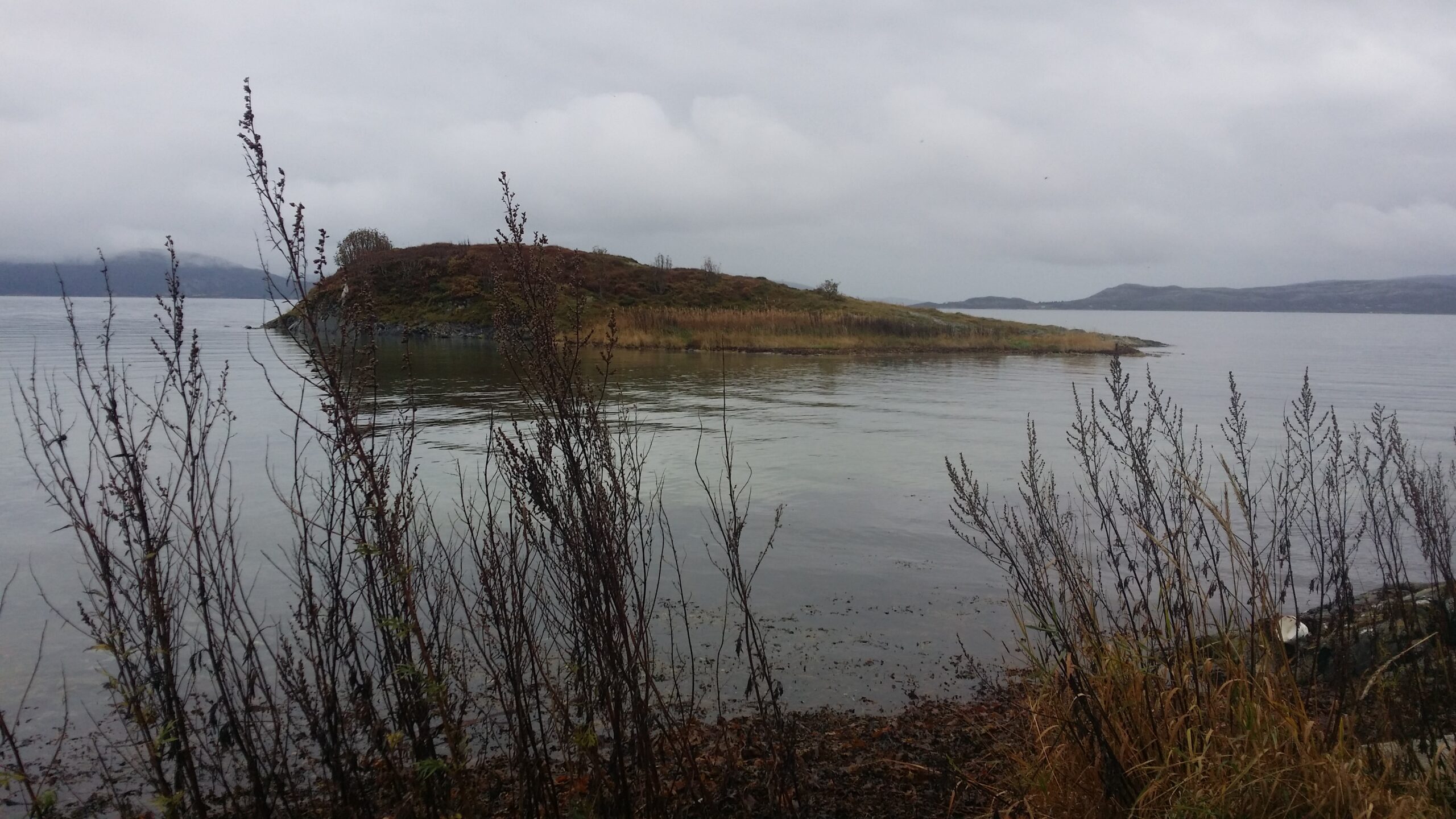
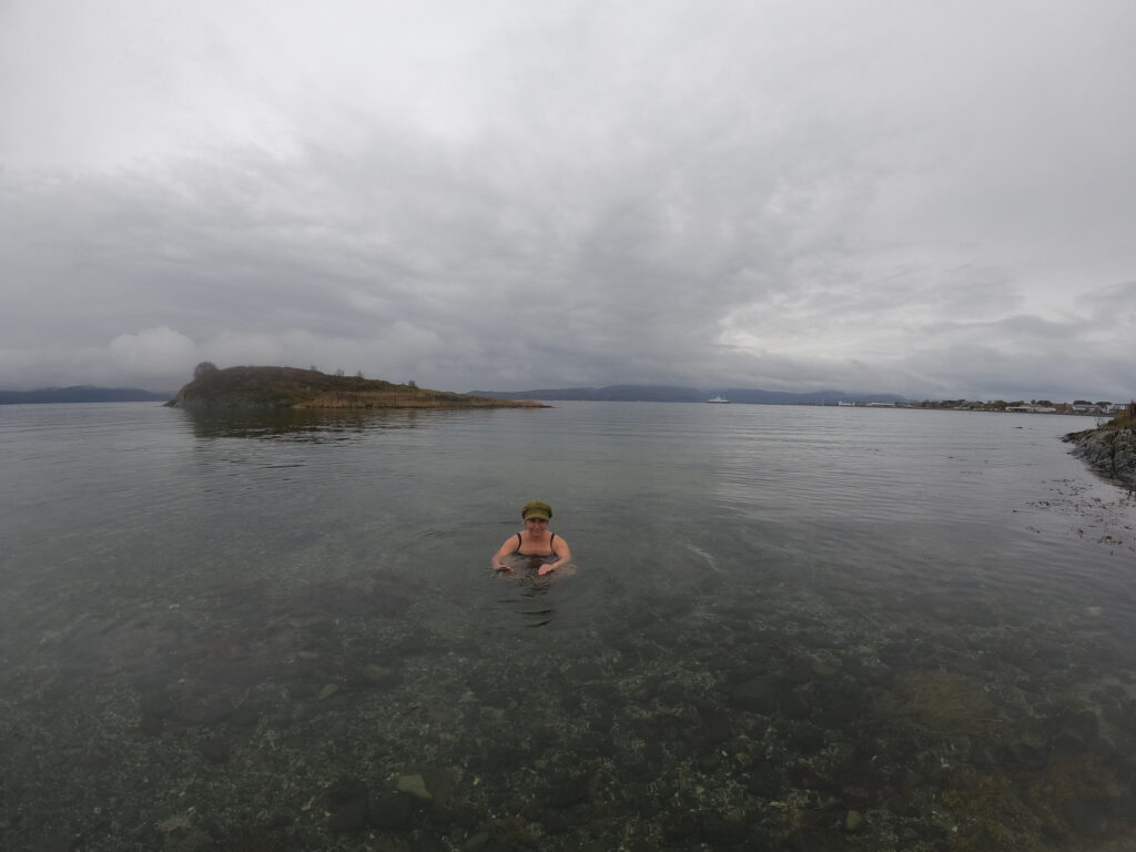
We arrived at Bruholmen at high tide and decided to swim around it. The seaweed soup was kind of awful:
But the water further out was crystal clear (12 degrees). Absolutely beautiful! We could even see the rocks on the bottom.
Beyond Bruholmen there are wetlands all the way, a bird paradise! The area is a Ramsar site. This means that Norway has signed an agreement in the city of Ramsar (in Iran) that this wetland is protected.
We saw hundreds of geese ready to depart south. And a flock of crows: as the text does not say in the norwegian children crow song: ‘There were 10 crows sitting on the fence crowing’.
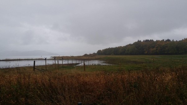
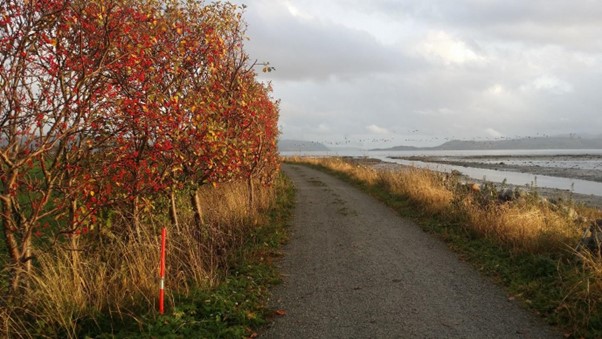
We were in doubt when we saw the use of road sticks by the trail. What is the point here (normally they are meant to tell the snow plowers at winter time where the road is)? Do they tell us that the trail does not go through the bushes? If there is a concern about ending up in the wetland, perhaps the sticks should have been placed on the other side of the trail? Does anyone know? The band of black dots in the photo below are geese.
We continued later to Austrått of course and had another swim, but we’ll save that for the next blog post.
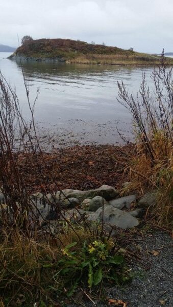
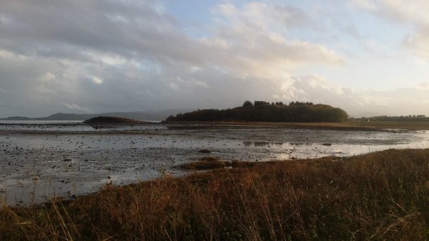
On the way back we took a picture of Bruholmen at low tide:
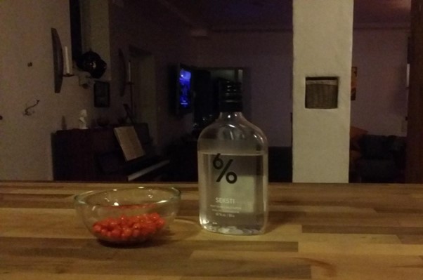
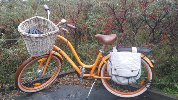
On the way back we took the opportunity to pick sea buckthorn close to the trail. Sea buckthorn is a pioneer plant, which thrives in sand by rivers and coasts. The berries are orange, so beautiful colored that Idun just had to swing her bike in front of them.
In addition to the splendid color, the berries are full of antioxidants and they taste good. So now we have sea buckthorn liqueur aging for Christmas. Although not in very large quantities (50 g of berries to be exact – it was more important to reach the boat back, they are not so easy to pick).